Clear Sky Science · en
Satellite latent heating retrievals uncover a seasonal terrain-monsoon seesaw in southern Tibetan Plateau rainfall
Mountains, Monsoons, and the World’s High Rooftop
The southern edge of the Tibetan Plateau, where the Himalayas rise abruptly from the Indian plains, feeds rivers for nearly a quarter of humanity. Yet scientists have long argued over a basic question: is the region’s rainfall mainly controlled by local mountains or by the vast South Asian monsoon system? This study uses a new way of “seeing” heat inside clouds from satellites to show that the answer actually flips with the seasons, like a seesaw between terrain and monsoon.
Why Hidden Heat Inside Clouds Matters
When water vapor condenses into raindrops, it releases energy known as latent heat. That invisible heat powers rising air and storm growth, shaping where and how hard it rains. Traditional satellites see cloud tops or falling raindrops, but not this internal heat engine. The authors use a breakthrough satellite technique that reconstructs vertical “profiles” of latent heating inside rain clouds over the southern Tibetan Plateau. By tracking the altitude of peak latent heat—essentially where storms are most vigorously boiling upward—they infer how air is moving and what is driving that motion across seasons.
Spring: Mountains Take the Lead
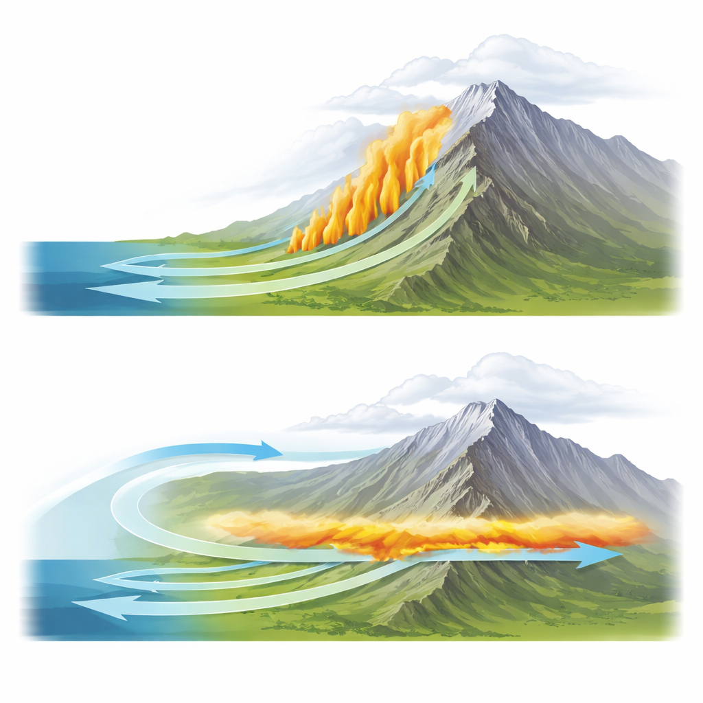
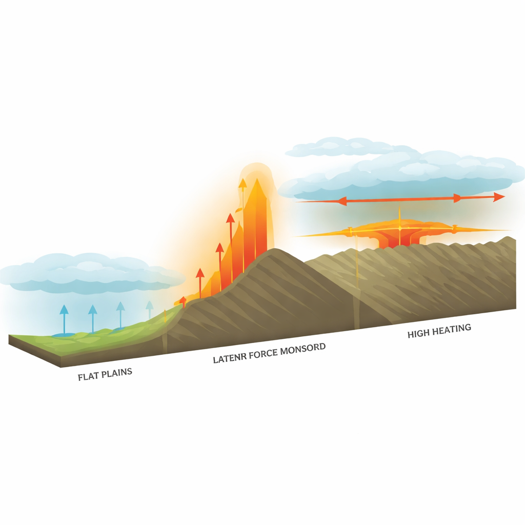
In the pre-monsoon spring, the data show that the height of peak latent heating climbs almost step for step with the rising Himalayan slopes, from the low plains up onto the high plateau. This tight match means the local terrain is firmly in charge. As moist air from the south runs into the mountains, it is pushed upward, cools, and condenses, releasing heat right above each elevation band. Computer simulations confirm two key helpers: warm ground air at low elevations kick-starts convection below about 2 kilometers, while the steep slopes themselves mechanically lift air higher up. Together they create deep, terrain-hugging storms that drop rain and snow where the land rises most sharply.
Summer: The Monsoon Takes Over
Once the South Asian summer monsoon is fully established, this pattern changes dramatically. Despite the terrain rising by roughly 5 kilometers from the Indian plains to the plateau, the altitude of peak latent heating stays almost flat, hovering around 5–6 kilometers across the southern flank of the Plateau. The storms no longer “feel” the mountain shape in the same way. Instead, warm, moist air is delivered at mid-levels in the atmosphere by large-scale monsoon circulation that sweeps over the region, bypassing the need for air to climb the slopes from the surface. Over the high plateau, the strongest heating is even higher, around 8 kilometers, with sinking air beneath—another sign that broader atmospheric waves and high-altitude inflow, not local lifting, are steering rainfall.
Testing the Balance of Forces
To disentangle these influences, the researchers ran detailed weather model experiments where they could selectively “remove” ingredients. In spring, flattening the Himalayas in the model erased the upward-tilting pattern of latent heating and wiped out mountain-focused rain, proving the central role of topography. Turning off surface warming weakened low-elevation storms but left high-elevation heating still tied to the slopes, underscoring that mountains themselves drive lifting aloft. In summer, by contrast, weakening the monsoon circulation made rainfall and heating revert to a more terrain-following pattern, similar to spring. Yet stripping away surface heating or even much of the topography barely shifted the altitude of peak heating as long as the monsoon winds remained strong, showing that large-scale circulation dominates the summer regime.
A Seasonal Seesaw with Global Reach
The study reveals a clear seasonal “terrain–monsoon seesaw”: in spring, mountain slopes and surface warming largely decide where clouds grow and rain falls; in summer, the monsoon circulation overrules local geography, feeding moisture into the region at mid-levels and producing storms whose internal heating no longer mirrors the mountains beneath. This new, satellite-based view of heat inside clouds not only clarifies a long-running debate about how the Tibetan Plateau interacts with the monsoon, it also offers a tool for probing similar mountain–monsoon partnerships in ranges like the Andes, Alps, and Rockies. By better capturing this seesaw in climate models, scientists can improve predictions of water supply and extreme rainfall for the hundreds of millions of people who depend on these high mountain watersheds.
Citation: Zhou, Y., Li, R., Zhao, H. et al. Satellite latent heating retrievals uncover a seasonal terrain-monsoon seesaw in southern Tibetan Plateau rainfall. npj Clim Atmos Sci 9, 91 (2026). https://doi.org/10.1038/s41612-026-01364-1
Keywords: Tibetan Plateau rainfall, Himalayan monsoon, orographic precipitation, latent heating profiles, mountain water cycle