Clear Sky Science · en
Enhancing the predictability limits of ENSO with physics-guided deep echo state networks
Why Better El Niño Forecasts Matter
El Niño is a recurring warming of the tropical Pacific Ocean that can shift rainfall patterns, fuel floods and droughts, disrupt fisheries, and shake economies around the globe. Today’s best climate models usually see El Niño coming about a year in advance, but farmers, city planners, and disaster managers would benefit from reliable warnings much earlier. This study explores whether a new kind of artificial intelligence, carefully guided by known climate physics, can push the practical limit of how far ahead we can confidently predict El Niño events.
A New Way to Teach Machines About the Ocean
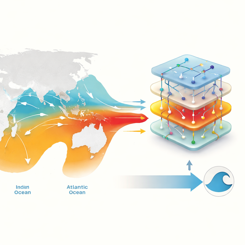
The authors build a forecasting system based on a technique called a Deep Echo State Network, a lightweight form of recurrent neural network designed to handle complex time-evolving patterns. Rather than feeding this network raw maps of temperature and winds, they first distill the climate into a small set of meaningful indices—simple numbers that track conditions in key regions of the Pacific, Indian, and Atlantic Oceans. This choice is inspired by an "extended recharge oscillator" picture of El Niño, which views the tropical Pacific as part of a wider, interconnected ocean system. By giving the network these physically interpretable ingredients and information about the seasons, the researchers encourage it to learn realistic climate behavior instead of opaque statistical shortcuts.
Seeing Further Into the Future
Using ocean reanalysis data from 1958 to 1999 for training and 2002 to 2023 for testing, the team evaluates how well their physics-guided network predicts the Niño 3.4 index—a standard measure of El Niño and La Niña strength. They compare it against simpler versions of the same method, a traditional conceptual model, operational climate forecasts, and an advanced deep-learning system that ingests huge three-dimensional datasets. At short lead times of a few months, all approaches perform similarly. But beyond about 10 months, the new deep echo state network holds onto useful skill for longer, keeping correlations above a commonly used threshold out to roughly 16–20 months. Remarkably, it reaches this performance while training in seconds on a standard desktop computer.
How Distant Oceans and Hidden Heat Add Skill
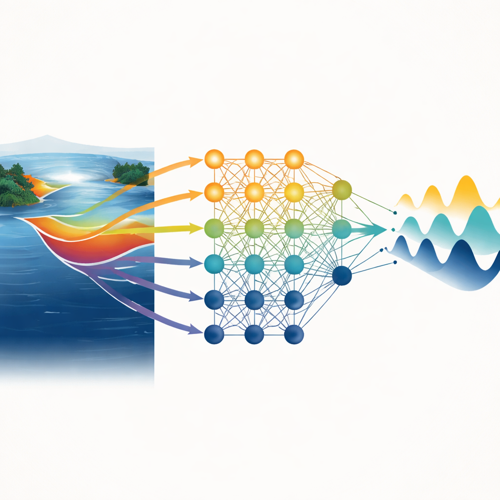
To move beyond raw scores and ask why the method works, the authors run many controlled experiments in which they selectively add or remove pieces of information. They find that a layer of warm water beneath the tropical Pacific surface—known as warm water volume—acts as a long-lived memory for the system, storing the imprint of earlier winds and ocean shifts. When this hidden reservoir is excluded, long-range forecast skill collapses. However, warm water volume alone is not enough. The biggest gains come when it is allowed to interact nonlinearly with climate variations in faraway regions, such as the North Pacific and the Indian and Atlantic Oceans. These cross-basin influences, folded into the subsurface memory, help the network anticipate how El Niño will evolve more than a year ahead.
Untangling the Role of Nonlinearity and Seasons
The researchers also probe how strongly nonlinear behavior and the annual cycle shape predictability. Because their network architecture can naturally represent complicated, state-dependent relationships, it consistently outperforms a more rigid physics-based model that includes only a few prescribed nonlinear terms. The network’s advantages are especially clear around the so-called spring predictability barrier, a season when El Niño forecasts have historically struggled. Additional experiments, in which the initial state of certain regions is artificially reset to average conditions, show that the benefits of including distant oceans depend on the season and on the evolving state of the Pacific itself—a hallmark of nonlinear, state-dependent interactions rather than simple linear cause-and-effect.
Where the Forecast Horizon Truly Ends
Finally, the authors ask whether the common 15–20 month ceiling on El Niño forecast skill reflects model shortcomings or a deeper limit set by nature. By tracking how tiny changes to initial conditions grow over time inside different models, they estimate when errors effectively saturate—when forecasts become indistinguishable from guesses. Their analysis suggests that the intrinsic limit for El Niño lies around 30 months. The new physics-guided network comes closest to this boundary, reaching useful skill beyond 1.5 years, thanks to its stable internal dynamics and realistic handling of multiple interacting climate modes.
What This Means for Society
For non-specialists, the key message is that combining physical insight with efficient machine learning can meaningfully extend how far ahead we can trust El Niño forecasts, without sacrificing transparency. By focusing on a handful of well-understood climate indicators and the ocean’s hidden heat storage, this approach both clarifies why the system is predictable and shows that nature still imposes a firm horizon of roughly two and a half years. Such physics-guided tools could help agencies issue earlier, more reliable warnings of El Niño-related extremes, while offering a blueprint for using machine learning to understand and predict other critical parts of the climate system.
Citation: Zhang, Z., Meng, J., Qiu, Z. et al. Enhancing the predictability limits of ENSO with physics-guided deep echo state networks. npj Clim Atmos Sci 9, 92 (2026). https://doi.org/10.1038/s41612-026-01360-5
Keywords: El Niño prediction, climate machine learning, ocean–atmosphere coupling, warm water volume, long-range climate forecasts