Clear Sky Science · en
An integrated physical diagnosis of compound climate risks for urban sustainability in Port Said Region, Egypt
Why this coastal city’s future matters to you
On a flat stretch of Egypt’s Mediterranean shore sits Port Said, the northern gateway to the Suez Canal. What happens here ripples far beyond local streets and fishing boats: about one in eight traded goods worldwide pass nearby. This study asks a simple but urgent question with global consequences: what happens when several climate threats—rising seas, sinking land, stronger heat, and dwindling freshwater—hit the same city at once? By examining Port Said as a test case, the research offers a window into how many coastal cities may fare as the planet warms, and what they can do now to avoid costly mistakes.
A city at the edge of land and sea
Port Said lies on the rim of the Nile Delta, where the Mediterranean Sea, the hypersaline Lake Manzala, and the Suez Canal meet. Much of the land sits barely above sea level, protected from the open sea by a narrow sand barrier that also shields wetlands and fisheries. The city’s economy is tied to its ports, shipyards, factories, and new industrial zones under development as part of the Suez Canal Economic Zone. This means that homes, jobs, and critical infrastructure are clustered in one of the lowest and most fragile parts of Egypt’s coastline, making the area a revealing laboratory for how climate change and rapid urban growth interact.
Many threats arriving together
Instead of looking at one danger at a time, the researchers carried out what they call a “physical diagnosis” of seven linked climate-related hazards: shoreline erosion, coastal flooding, saltwater intrusion into underground water, ecological stress, drought, heat waves, and port disruption. Using decades of satellite images, tide-gauge records, climate model projections, and coastal engineering formulas, they traced how these hazards behave today and how they are likely to evolve by mid-century and later in both moderate- and high-emissions futures. A key finding is that Port Said’s land is sinking by about 4 to 5 millimeters per year—far faster than in nearby cities—so global sea-level rise is effectively sped up locally, shrinking the time window for protective action.
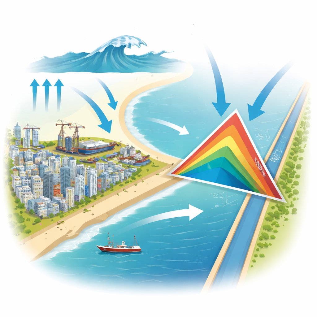
Where risks collide: the critical triangle
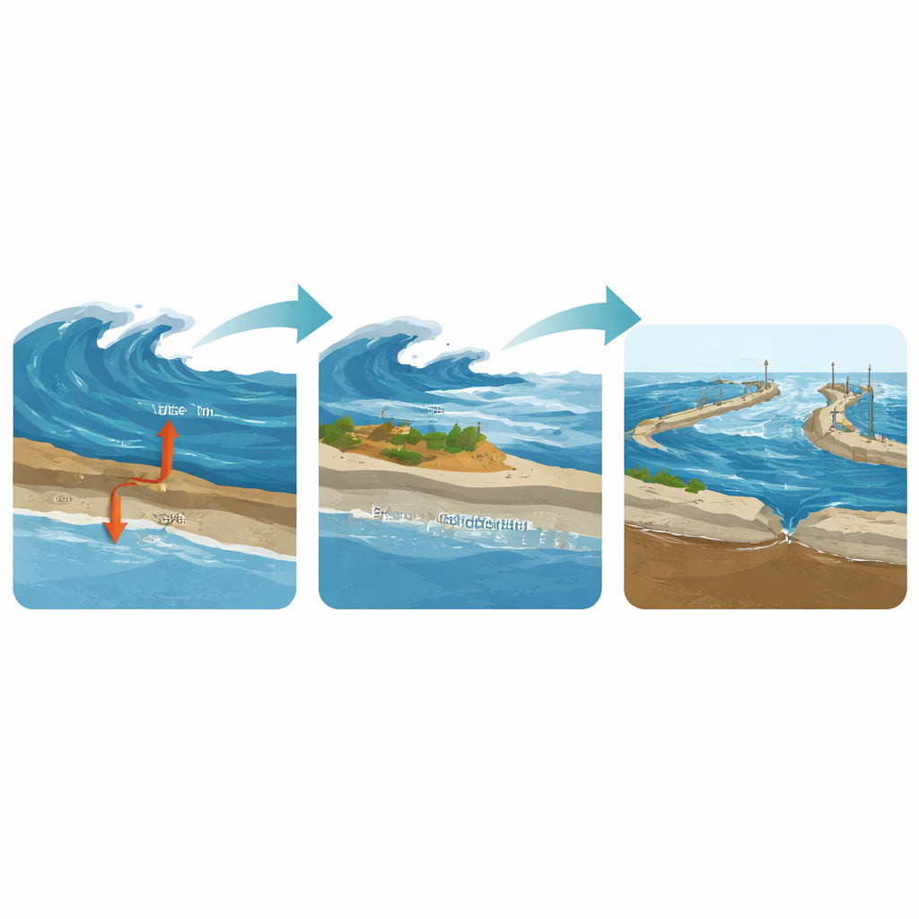
By mapping each hazard and then layering them together, the study identifies a “Critical Risk Triangle” where three major problems converge: fast erosion of the sand barrier, deep and frequent flooding of low-lying land, and advancing saltwater in the coastal aquifer. This hotspot lies exactly where new neighborhoods, factories, and port facilities are being built in East Port Said and across the Sahl El Tina plain. In this zone, storms that breach the narrowing beaches can flood inland, wash saltwater deep into soils and groundwater, and undermine the very land that new buildings sit on. At the same time, higher seas and waves will more often overtop breakwaters, disrupting port operations and a key artery of global trade.
Hidden pressures on water, nature, and daily life
Beyond dramatic images of waves crashing over seawalls, the diagnosis reveals slower but equally troubling shifts. Saltwater has already made much of the shallow groundwater under East Port Said too salty for crops or drinking, and rising seas will push this salty front farther inland, tightening the squeeze on water supplies. Lake Manzala and the nearby coast are under “high abiotic stress” from pollution, warming seas, and changing salinity, jeopardizing seagrasses that help stabilize sand and support fisheries. On land, climate models point to longer dry spells and more intense heat waves, adding strain on agriculture, power systems, and public health in a city that is still expanding into exposed terrain.
Choosing between lock-in and a safer future
The study concludes that Port Said sits at a crossroads. If large-scale investments continue in the highest-risk coastal strips without major redesign, the region could lock itself into a costly future of constant repairs, frequent port shutdowns, and growing water and safety crises—a textbook case of maladaptation. But the same analysis also outlines a different path: using risk maps to steer new building away from the most vulnerable zones, restoring dunes and wetlands as natural buffers, reinforcing essential port structures with room to be raised over time, and planning water and cooling solutions for a hotter, drier climate. By treating this “physical diagnosis” as a starting point for smarter spatial planning and governance, Port Said could shift from being a climate casualty in the making to a model for how strategic coastal cities around the world can stay open for business in a changing climate.
Citation: Osman, T. An integrated physical diagnosis of compound climate risks for urban sustainability in Port Said Region, Egypt. Sci Rep 16, 14278 (2026). https://doi.org/10.1038/s41598-026-49766-8
Keywords: coastal cities, climate risk, sea level rise, urban planning, Suez Canal