Clear Sky Science · en
Environmental coherence framework for multi-sensor remote sensing: water hyacinth assessment in Lake Tana
Why a Floating Plant Matters So Much
At first glance, a patch of green plants drifting on a lake may seem harmless or even beautiful. But in Ethiopia’s Lake Tana—the source of the Blue Nile—a single invasive plant, water hyacinth, is rapidly reshaping one of Africa’s most important freshwater ecosystems. This study shows how scientists used more than a decade of satellite observations and a new way of checking their reliability to track how this weed explodes, crashes, and then comes back again, and how that knowledge can guide efforts to protect both nature and the millions of people who depend on the lake.
A Lake at the Heart of a Region
Lake Tana is Ethiopia’s largest lake and a cradle of biodiversity, supporting endemic fish, hundreds of bird species, and vast wetlands. It also powers hydropower dams, irrigates fields, supports fisheries and tourism, and provides water and transport for more than half a million nearby residents. Because over 40 rivers and streams feed the lake, anything that disrupts its waters can echo far downstream, all the way into the Blue Nile system. Over the past decade, one threat has stood out: fast-spreading mats of water hyacinth that choke shorelines, block boats, strain hydropower infrastructure, and sap water through very high evaporation losses.
A Weed that Grows, Spreads, and Dries Out the Lake
Water hyacinth, originally from South America, thrives in warm, nutrient-rich waters. It can double its area in weeks, forming thick carpets that shut out light, suffocate native plants, and trigger oxygen crashes that kill fish. In Lake Tana, the plant’s high water use worsens seasonal water scarcity, especially where farmers, fishers, and ecosystems already compete for every drop. Past surveys around the lake showed a rapidly expanding front of infestation, with dense mats especially along shallow northeastern shores and floodplains. These mats not only damage the ecosystem but also create ideal breeding conditions for disease-carrying mosquitoes and snails, adding public health risks to the ecological and economic costs.
Watching a Living Menace from Space
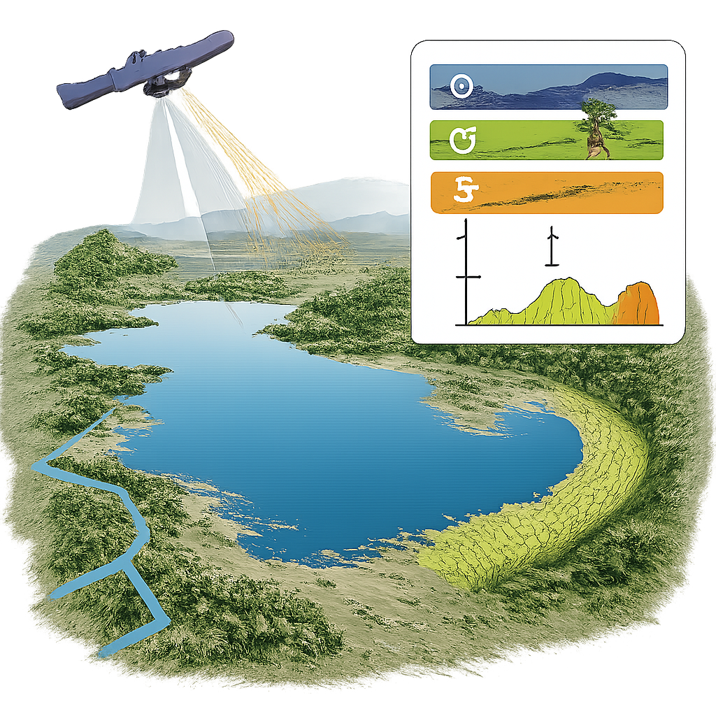
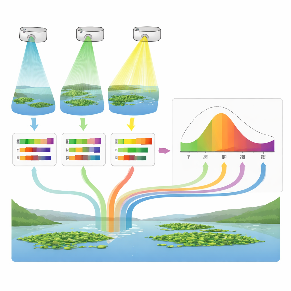
Measuring such a shifting target on the water’s surface is hard and dangerous to do from boats, especially across thousands of square kilometers and many years. The authors turned instead to multi-sensor satellite remote sensing, using images from Landsat 8/9, Sentinel-2, and Sentinel-1, all processed in the Google Earth Engine cloud platform. They focused on three months each year (October to December), when clouds are fewer and water hyacinth typically peaks after the rainy season. By combining different types of measurements—such as how green and reflective the surface is in certain colors of light, or how rough it appears to radar—they generated monthly maps of where floating plants likely covered the lake and how much area they occupied.
Checking the Maps Against Nature’s Rhythms
A central challenge was validation: there are few long-term field measurements to check the satellite maps against. Instead of giving up or trusting the imagery blindly, the team devised an “environmental coherence” framework. The idea is simple: if an index truly captures water hyacinth behavior, its ups and downs should line up with known environmental drivers, such as lake water level, humidity, and evapotranspiration (a measure of how much water is leaving the system through evaporation and plant use). Using 11 different sensor-and-index combinations, the researchers asked which time series best matched the expected ecological relationships—for example, more floating weeds when humidity is high and shorelines are flooded, and fewer when water levels fall.
A Boom, a Bust, and a Worrying Comeback
Over the 2013–2024 record, the study uncovered a pronounced “boom–bust” cycle. The infestation built up to a peak in 2018–2019, with large swaths of the lake’s shoreline covered by dense mats. Then came a notable decline from 2020 to 2022, when infested area dropped by more than half from its peak. But this reprieve was temporary: by 2023–2024 the weed resurged sharply, with coverage jumping nearly 70% from the low point. Within each year, the pattern also followed a clear rhythm—October as the lower, early stage; November as a rapid growth phase; and December as a seasonal high, when suitable habitats fill up and growth levels off. These swings reflect a mix of climate variability, changing lake levels, and control efforts, and they show that even when overall trends point downward, the system remains prone to sudden flare-ups.
Picking the Best Eyes in the Sky
The environmental coherence test produced a clear winner: indices based on Sentinel-2’s higher-resolution optical data, particularly the normalized difference vegetation index (NDVI) and a combined NDVI plus floating-algae index, aligned best with the independent climate and water-level records. They responded strongly and consistently to changes in lake level, humidity, and water loss, outperforming similar indicators from the coarser Landsat images and the radar-only method. Radar remained valuable as a backup during cloudy periods and for filling gaps, but it was less tightly linked to the ecological signals. The authors wrapped these pieces into an open, reproducible workflow that can be adapted to other tropical lakes where invasive plants spread but field data are sparse.
What This Means for People and Policy
For non-specialists, the core message is that we now have a practical, evidence-based way to keep watch on a dangerous invader in one of Africa’s most important lakes, using satellites rather than risky, expensive field campaigns. By anchoring satellite measurements to real-world environmental behavior, the environmental coherence framework helps managers trust which maps to use and when to act. The finding that water hyacinth can crash and then rebound quickly—timed with predictable seasonal windows—highlights the need for early, well-timed interventions, especially in October before explosive growth. Because the methods and code are openly available, they can support early-warning systems and targeted management not only for Lake Tana and the Blue Nile basin, but also for other vulnerable freshwater bodies facing similar invasive threats.
Citation: Mahmoud, M.R., Garcia, L.A., Abd Elhamid, A. et al. Environmental coherence framework for multi-sensor remote sensing: water hyacinth assessment in Lake Tana. Sci Rep 16, 13885 (2026). https://doi.org/10.1038/s41598-026-46912-0
Keywords: water hyacinth, Lake Tana, satellite monitoring, invasive aquatic plants, Blue Nile