Clear Sky Science · en
Spatial heterogeneity and drivers of social vulnerability in chinese floodplains: a PCA-MGWR approach
Why floods and city life intersect
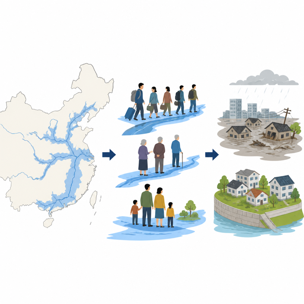
Across China, hundreds of millions of people live and work on river plains that are both engines of growth and hotspots for floods. This study asks a deceptively simple question with big social implications: who is actually living in these risky places, and why? By blending detailed census data with high resolution flood maps, the authors uncover how aging, migration, and wealth combine to shape who faces danger when the waters rise.
Where people and rising waters meet
China’s great rivers have always drawn people. Wide plains along the Yangtze, Yellow, and Pearl Rivers support dense cities, industry, and farms. Using satellite based maps of floodplains at a fine 250 meter scale, the researchers traced where these low lying areas overlap with 361 cities. They then overlaid a carefully refined map of where people live, built from the 2020 national census and global population grids. This pixel by pixel approach avoids the blur that comes from averaging data across entire cities, revealing in sharp detail how closely people’s homes hug the water’s edge.
Two kinds of flood exposure
The team distinguished between how much of a city lies in a floodplain and how many people are actually in harm’s way. Some smaller cities in central China are almost entirely built in floodplains, making risk an unavoidable background of daily life. Yet the largest numbers of people at risk are found in megacities like Chongqing, Shanghai, Tianjin, and Wuhan. There, rapid urban growth has pulled huge populations toward rivers and coasts. Statistical tools that measure how nearby cities resemble each other show large clusters along the Yangtze and lower Yellow River, where both the share of land at risk and the number of exposed residents are high.
Beyond poverty: four faces of social fragility
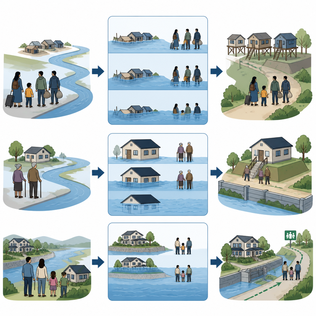
To move past simple rich versus poor labels, the authors grouped many social indicators into four main patterns. One highlights the “floating population” of renters and people living alone, often recent arrivals with weak ties to their neighborhoods. Another reflects livelihood instability, where high incomes coexist with high job insecurity in booming cities. A third pattern captures low education, which can limit access to warnings and understanding of risk. The fourth reflects limited action capacity, focusing on very young children and older adults who may struggle to evacuate quickly. Together these four dimensions sketch a richer portrait of who is likely to struggle before, during, and after a flood.
Uneven risks and a paradox of wealth
Using a spatial model that allows relationships to vary from place to place, the study shows that these four patterns matter differently across China. In some western inland areas, migrants cluster in low lying river valleys and face higher flood exposure. In many eastern plains cities, however, migrants are pushed to newer suburbs that may sit on safer ground, creating a statistical “risk avoidance” effect even as they remain vulnerable in other ways. Wealthy households and valuable assets often concentrate along scenic or well located riverfronts in the Yangtze River economic belt. This creates a “paradox of wealth exposure”, where the most developed regions also place the most people and property in harm’s way. At the same time, rapid aging leaves many older residents effectively “locked in” to long settled river districts, particularly in central and eastern China, even as younger family members move away.
What this means for safer futures
The authors conclude that flood risk in China can no longer be understood only through poverty. Mobility and aging now play central roles in who is exposed and who can respond. Because these patterns differ sharply from one region to another, one size fits all defenses are not enough. Wealthy riverfront regions may need tools like insurance and resilient design to spread large economic losses, while inland and older communities need support that improves day to day safety and evacuation for low income and older residents. In short, managing floods in modern China means managing how cities grow, who moves where, and how societies care for those least able to move when the waters rise.
Citation: Yang, L., Zhang, Y., Zheng, Q. et al. Spatial heterogeneity and drivers of social vulnerability in chinese floodplains: a PCA-MGWR approach. Sci Rep 16, 16172 (2026). https://doi.org/10.1038/s41598-026-46528-4
Keywords: flood risk, social vulnerability, China cities, aging population, migrant workers