Clear Sky Science · en
Density clustering based fast and stable satellite selection for LEO navigation
Why picking the right satellites matters
From phone maps to self-driving cars, our lives increasingly depend on knowing exactly where we are. New swarms of low Earth orbit (LEO) satellites, such as those launched for global internet, could make navigation faster and more reliable than today’s GPS-like systems. But there is a catch: at any moment a receiver may see dozens of LEO satellites, far more than it can handle at once. Choosing the “best few” quickly, accurately and without constant switching has become a hidden but crucial challenge for future navigation.
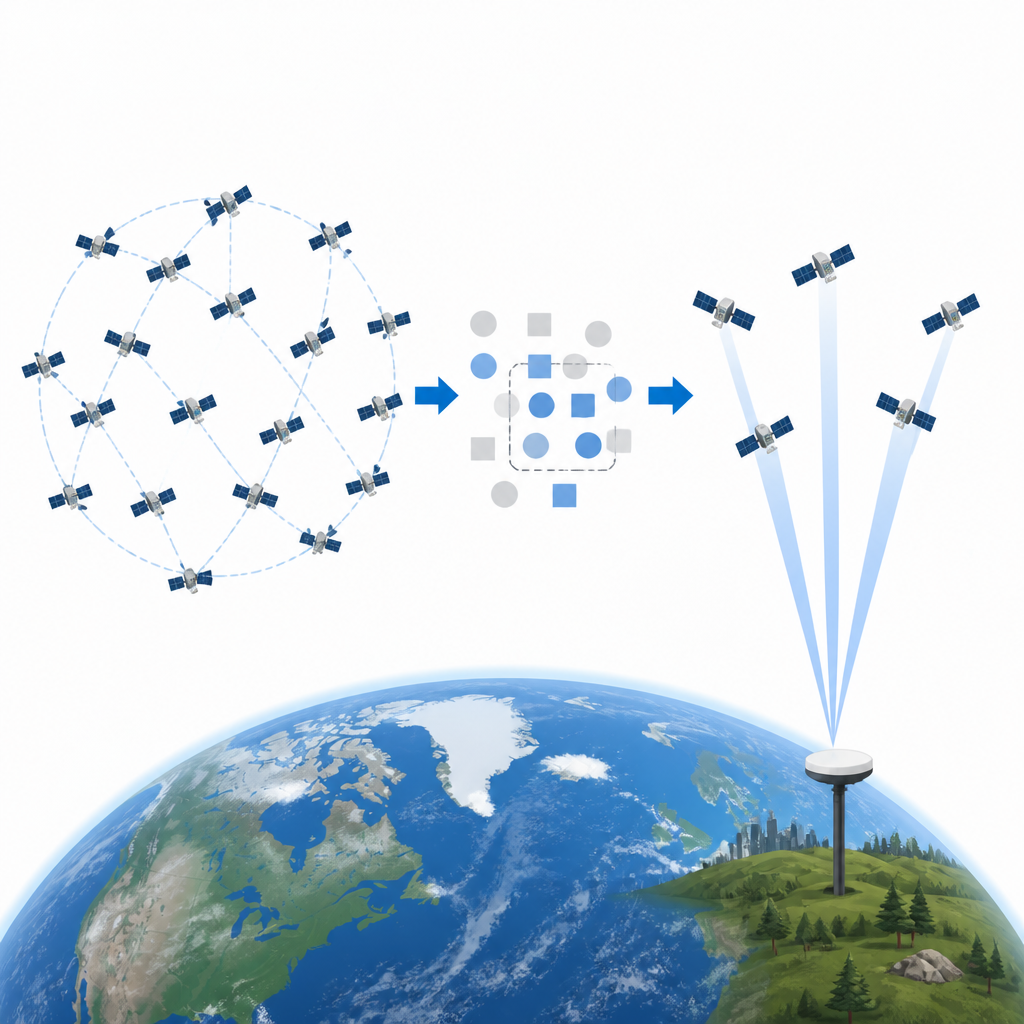
Too many choices in the sky
Traditional navigation satellites circle far from Earth and move slowly, so a receiver usually sees only a handful at a time. LEO satellites fly much closer and zip across the sky, so a ground user can see tens to over a hundred at once. Receivers, however, can track only a limited number of signals. Picking a small subset that gives the sharpest possible position is a classic needle-in-a-haystack problem: the number of possible combinations explodes as more satellites come into view. Brute-force search is too slow for systems that must update positions many times per second, and existing shortcut methods often rely on random choices that are hard to predict and can cause unstable performance over time.
A three-step way to tame the crowd
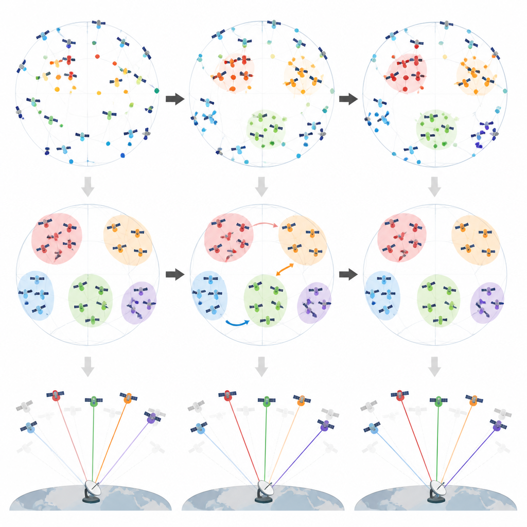
The authors propose a new method called Density-Clustered Fast Stable Selection (DC-FSS) that restructures this problem into three simple steps. First, the algorithm looks at how satellites are spread across the sky and finds regions where they are crowded together. Instead of treating every satellite equally, it picks a few that represent these dense patches while making sure they are well spaced out. This trims the problem down to a manageable set of promising candidates that still cover the sky in a balanced way. Second, within each of these regions, the method fine-tunes the choices by swapping satellites in and out to improve the overall viewing geometry that underpins accurate positioning.
Keeping navigation steady over time
Fast-moving LEO satellites create another problem: even tiny improvements on paper can trigger frequent changes in which satellites are used. Every time the receiver switches, it must re-establish tracking and adjust its internal filter, which costs energy and can briefly weaken the position solution. To address this, the third step of DC-FSS introduces a “forward stable” strategy. Instead of always jumping to the mathematically best combination at each instant, the method asks whether it can keep using satellites from the previous moment while accepting only a very small loss in geometric quality. By carefully limiting how much accuracy it is allowed to give up, the algorithm greatly cuts down on handovers while keeping the position solution nearly as sharp as the best possible one.
Proving speed, accuracy and robustness
To test the new approach, the researchers simulated a receiver observing thousands of real LEO satellites using publicly available orbit data, focusing mainly on the Starlink system. They compared DC-FSS with exhaustive search, a tuned genetic algorithm, and simpler selection rules. Across many trials and different numbers of tracked satellites, DC-FSS came within a few percent of the ideal geometric quality but ran thousands to millions of times faster than exhaustive search and several times faster than the genetic method. It also showed stable performance across one-hour runs, different latitudes from the equator to near the poles, and even in scenarios where parts of the sky were blocked as in urban canyons. Ablation tests, where individual steps of the method were removed, revealed that the combination of density-based pruning, local and global refinement, and the stability step was essential to maintain both high accuracy and low switching rates.
What this means for future navigation
In plain terms, this work offers a recipe for making the most of crowded LEO skies without overwhelming receivers or causing jumpy behavior. By smartly grouping satellites, fine-tuning within those groups, and favoring continuity when it barely hurts accuracy, DC-FSS turns an unwieldy search problem into a quick and predictable operation suited to real-time devices. While the study is based on simulations and focuses mainly on satellite geometry rather than detailed signal quality, it lays out a practical path for receivers that must navigate using many fast-moving satellites, helping future systems deliver precise, steady positioning for everyday technologies.
Citation: Lu, Z., Zhang, S., Wang, Y. et al. Density clustering based fast and stable satellite selection for LEO navigation. Sci Rep 16, 15276 (2026). https://doi.org/10.1038/s41598-026-46447-4
Keywords: LEO navigation, satellite selection, density clustering, real-time positioning, Starlink