Clear Sky Science · en
Potential of Sentinel-3 snow cover fraction data for improving hydrological simulations at the regional scale
Why Snow from Space Matters
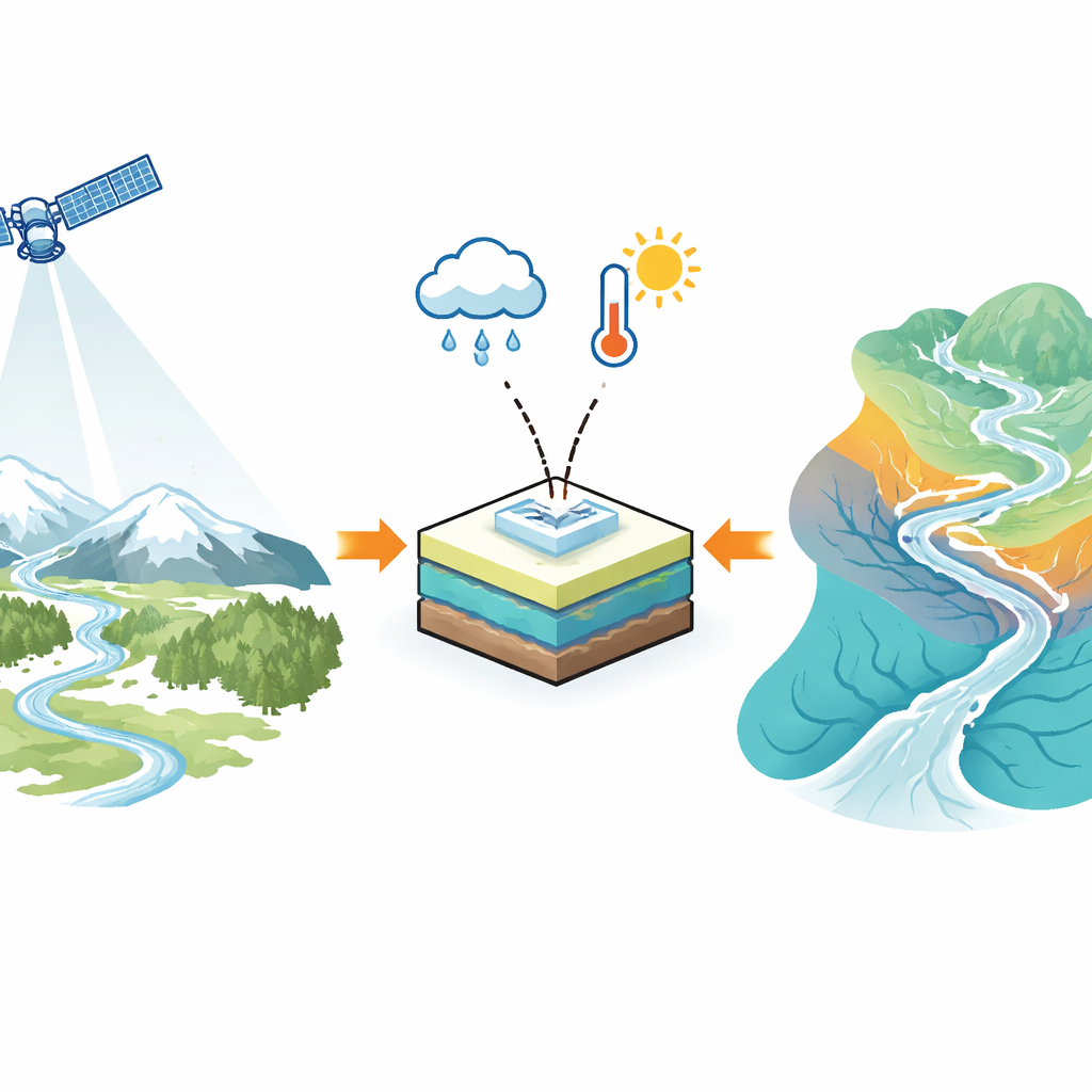
For many regions, especially those with mountains, winter snow is a natural water reservoir that slowly releases meltwater to rivers, wells, farms, and ecosystems. Predicting how much water will arrive downstream, and when, is crucial for drinking supplies, hydropower, flood protection, and drought planning. This study explores whether a new kind of snow map from Europe’s Sentinel-3 satellites can sharpen these water forecasts over an entire country, Austria, by showing not just where snow exists, but how much of the ground is actually covered.
Watching Winter from Orbit
Traditional snow maps from satellites usually simplify the world into “snow” or “no snow.” Sentinel-3 offers something richer: a snow cover fraction, meaning the percentage of each map pixel that is blanketed in snow. To create this, the satellite sensors record light reflected from the surface in many colors. A method called spectral unmixing then separates the signal into contributions from snowy and snow-free surfaces such as grass, rock, or soil. Because this method adapts to local lighting and terrain, it is especially useful in rugged mountains where shadows and steep slopes often confuse older snow-mapping techniques.
Checking Space Data against the Ground
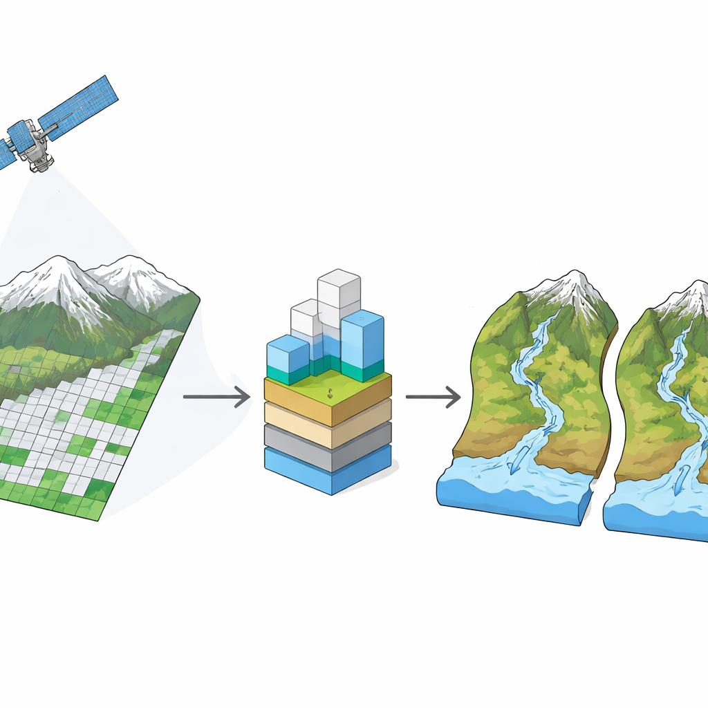
To test how trustworthy these new snow maps are, the researchers compared them with daily snow depth readings at 631 climate stations spread across Austria’s valleys and hillsides. For each day between 2017 and 2023, they asked a simple question: do the station’s measurements and the satellite agree on whether snow is present? Across all stations and years, agreement exceeded 95 percent, which is on par with or better than widely used older products such as those from the MODIS instruments. Errors tended to be small underestimates of snow-free conditions at lower elevations in mid-winter, and even smaller at high elevations. Cloud cover—always a challenge for optical satellites—was substantial but still noticeably lower than in previous snow products, particularly over the Alps in winter.
Feeding Better Snow Maps into Water Models
The team then turned to what matters most for water managers: river flow. They used a well-established hydrological model that tracks how snow, soil moisture, and groundwater together create runoff from 188 river catchments, ranging from flat lowlands to steep alpine basins. They ran the model in two different ways. In the first, they tuned it only to match measured river flows, as is common in practice. In the second, they tuned it to match both river flows and the Sentinel-3 snow cover fraction. This “multiple-objective” approach tries to find model settings that reproduce what happens both in the rivers and on the hillslopes.
What Improved and Where
Including satellite snow information clearly made the model’s internal picture of snow more realistic. In both alpine and lowland catchments, snow simulations matched the Sentinel-3 data substantially better when snow was used during calibration. In nearly all alpine catchments, snow behavior improved, although the gains in river flow predictions were modest because the model was already performing well there. In contrast, the biggest payoff for runoff forecasts came in lower-elevation basins. There, using the snow fraction data improved runoff simulations in more than half of the catchments, and it also nudged key model parameters—such as those controlling snowmelt speed and soil water storage—toward values that are more physically consistent.
What This Means for Future Water Planning
In simple terms, the study shows that the new Sentinel-3 snow cover fraction maps are accurate and, when combined with river flow records, help water models paint a more faithful picture of how snow feeds rivers—especially in gentler, lowland areas. While mountain forecasts were already good, the satellite data still sharpened the description of snow there and reduced some long-standing mapping problems caused by clouds and terrain shadows. As climate change alters snowfall and melt patterns, having reliable, daily, continent-scale views of snow from space, tied directly into river models, will be an important tool for anticipating floods, managing reservoirs, and securing water supplies.
Citation: Tanhapour, M., Parajka, J., Schwaizer, G. et al. Potential of Sentinel-3 snow cover fraction data for improving hydrological simulations at the regional scale. Sci Rep 16, 10588 (2026). https://doi.org/10.1038/s41598-026-46403-2
Keywords: satellite snow monitoring, Sentinel-3, hydrological modelling, snowmelt runoff, Austria catchments