Clear Sky Science · en
Impact of land surface characteristics on coastal compound flooding using a coupled hydrodynamic-hydraulic modelling framework
Why coastal floods matter for everyday life
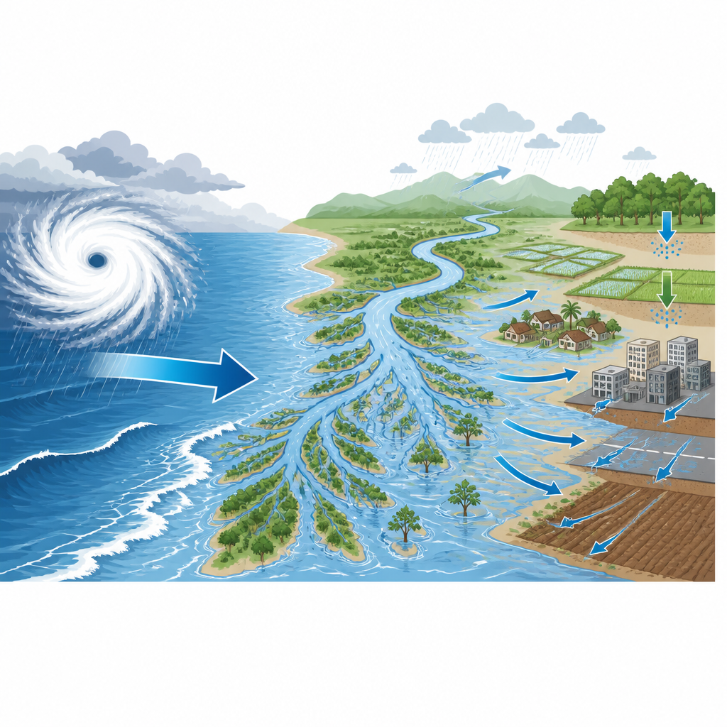
For people living near river mouths and low-lying coasts, flooding during cyclones can arrive from several directions at once: swollen rivers, heavy rain, and high seas. This study looks at how the nature of the ground itself from city pavement to farm fields and coastal soils can make these "compound" floods much worse or a bit more manageable along India’s east coast. By showing how land cover and soil soaking ability shape real flood outcomes, the work offers clues for safer planning, better warnings, and smarter land use in vulnerable deltas worldwide.
Many ways water can overwhelm a coast
The authors focus on compound flooding, where storm tides, intense rainfall, and river flows combine to raise water levels beyond what any single factor would cause. Along the Odisha coast, cyclones can drive a dome of water onto the shore while dumping huge amounts of rain over the river basins that drain to the same coastline. Earlier studies often treated these pieces separately or ignored how different soils and surfaces affect whether rain soaks into the ground or rushes off into rivers. This study sets out to capture those connections in one modelling framework, with special attention to how land surface conditions amplify or soften flooding during Cyclone Yaas in 2021.
How the team builds a digital twin of floods
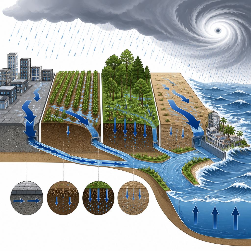
The researchers couple two well known tools into a single system. One model (ADCIRC) represents tides and cyclone-driven water levels in the Bay of Bengal, while the other (HEC-RAS) tracks how water moves through rivers and floodplains on land. They feed the river model with river discharge at upstream points, storm-tide levels at river mouths, hourly rainfall and evaporation on a grid, and detailed maps of land use and soil type. Using satellite-based land cover and global soil data, they assign each patch of land a "curve number" and a minimum infiltration rate values that together determine how easily water can sink into the soil versus run off across the surface.
Checking the model against the real storm
To see how well the system performs, the team simulates Cyclone Yaas and compares the results to water-level measurements at tide gauges and buoys, and most importantly, to flood maps from Sentinel-1 radar images taken three days after landfall. The ocean model reproduces storm tides with high accuracy, giving confidence in the coastal boundary conditions. On land, the first simulations get the broad pattern of flooded districts correct but miss much of the observed inundated area, especially in low-lying coastal districts. This underestimation points to too much water soaking into the ground in the default setup, and to uncertainties in the rainfall and evaporation products used to drive the model.
What soil and rain do to the flood picture
The authors then run a series of experiments to untangle how rainfall, evaporation, storm tides, and soil settings each affect flooding. By trying three different rainfall datasets, they find that one Indian high resolution product (IMDAA) best matches both rain measurements and observed flood patterns. They show that rainfall is the main driver of flooded area, with storm tides adding important but more localized effects near estuaries. Evaporation modestly shrinks floods in the days after peak rain. Sensitivity tests reveal that lowering the minimum infiltration rate and using higher curve numbers both push more rain into surface runoff, sharply increasing the simulated flooded area, especially in districts with certain coastal soils.
From trial and error to a tuned flood tool
Guided by these tests, the team calibrates soil parameters district by district, focusing on the dominant coastal soil type and keeping land cover patterns fixed. Reducing its minimum infiltration rate and, in one district, raising the curve number brings the model much closer to Sentinel based flood extents. The improved setup increases total simulated inundation by about half compared to the default case and achieves strong statistical agreement with the satellite maps. Finally, the calibrated model is used to revisit two earlier cyclones, the 1999 Odisha Super Cyclone and Phailin in 2013, showing that including realistic rainfall and land surface processes can roughly double the estimated inundation compared with simulations that consider only river discharge and storm tides.
What this means for people living near delta coasts
In simple terms, the study shows that how wet the land already is, how easily local soils absorb water, and how much of the surface has been paved or built over can be just as important as the height of the storm tide in deciding who gets flooded. By combining coastal, river, rainfall, and land surface information in one framework and tuning it against satellite observations, the authors provide a more realistic tool for estimating which districts are most at risk during different kinds of cyclones. This kind of modelling can help planners map flood zones more accurately, prioritize drainage and land management improvements, and design early warning systems that account for the full chain from falling rain and rising seas to water on the street.
Citation: Tiwari, P., Rao, A.D. & Pant, V. Impact of land surface characteristics on coastal compound flooding using a coupled hydrodynamic-hydraulic modelling framework. Sci Rep 16, 15386 (2026). https://doi.org/10.1038/s41598-026-46242-1
Keywords: coastal flooding, cyclone rainfall, soil infiltration, compound flood, river deltas