Clear Sky Science · en
Rising heavy precipitation extremes in Central European river basins under a high emission scenario
Why sudden downpours matter for everyday life
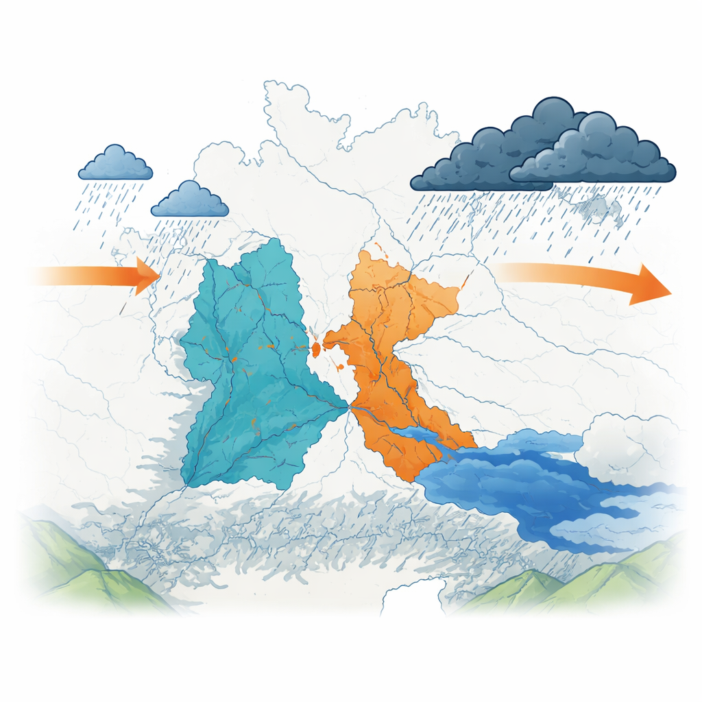
In recent years, people living in Central Europe have seen more weather whiplash: record-breaking floods in some months and worrying drought in others. This study zooms in on two major river basins that drain much of Poland—the Vistula and the Oder—to ask a simple but urgent question: under a future with high greenhouse‑gas emissions, will heavy rainstorms become more intense and frequent, and what could that mean for floods, water supplies, and everyday safety?
Where the study takes place and why it was chosen
The research focuses on an area home to about 40 million people, stretching from Poland’s central plains to the Carpathian and Sudeten Mountains in the south. These mountains already receive much more rain than the lowlands and play a key role in feeding the Vistula and Oder rivers. The region has recently seen severe events at both ends of the water spectrum—from unprecedented three‑day deluges to widespread agricultural droughts. Because of this mix of dense population, varied landscapes, and clear exposure to weather extremes, the area is a natural laboratory for studying how a warming climate reshapes rainfall patterns.
How scientists track extreme rain
Rather than just looking at yearly rainfall totals, the authors used a set of standard indicators designed by an international expert group to describe different faces of extreme rain. Some indices count how many days per year exceed a heavy rain threshold, others capture the most intense one‑day or five‑day downpours, and others measure what fraction of all rainfall comes from the very wettest days. To explore the future, the team relied on six regional climate simulations for Europe, each carefully adjusted so that their past rainfall matches observations, and all run under a high‑emissions pathway that assumes limited success in curbing greenhouse gases.
What the past already shows
Historical records from 1990 to 2019 reveal that heavy rainfall has already begun to creep upward in the study area. Days with at least 10 millimeters of rain became more common, and the average amount of rain on wet days increased. However, the strongest single‑day and five‑day totals did not yet show clear, statistically firm trends over this relatively short period, and there was no strong sign that dry or wet spells were systematically lengthening. In other words, hints of intensification are visible, but natural year‑to‑year variability still masks the full signal in many measures.
What a high‑emissions future looks like
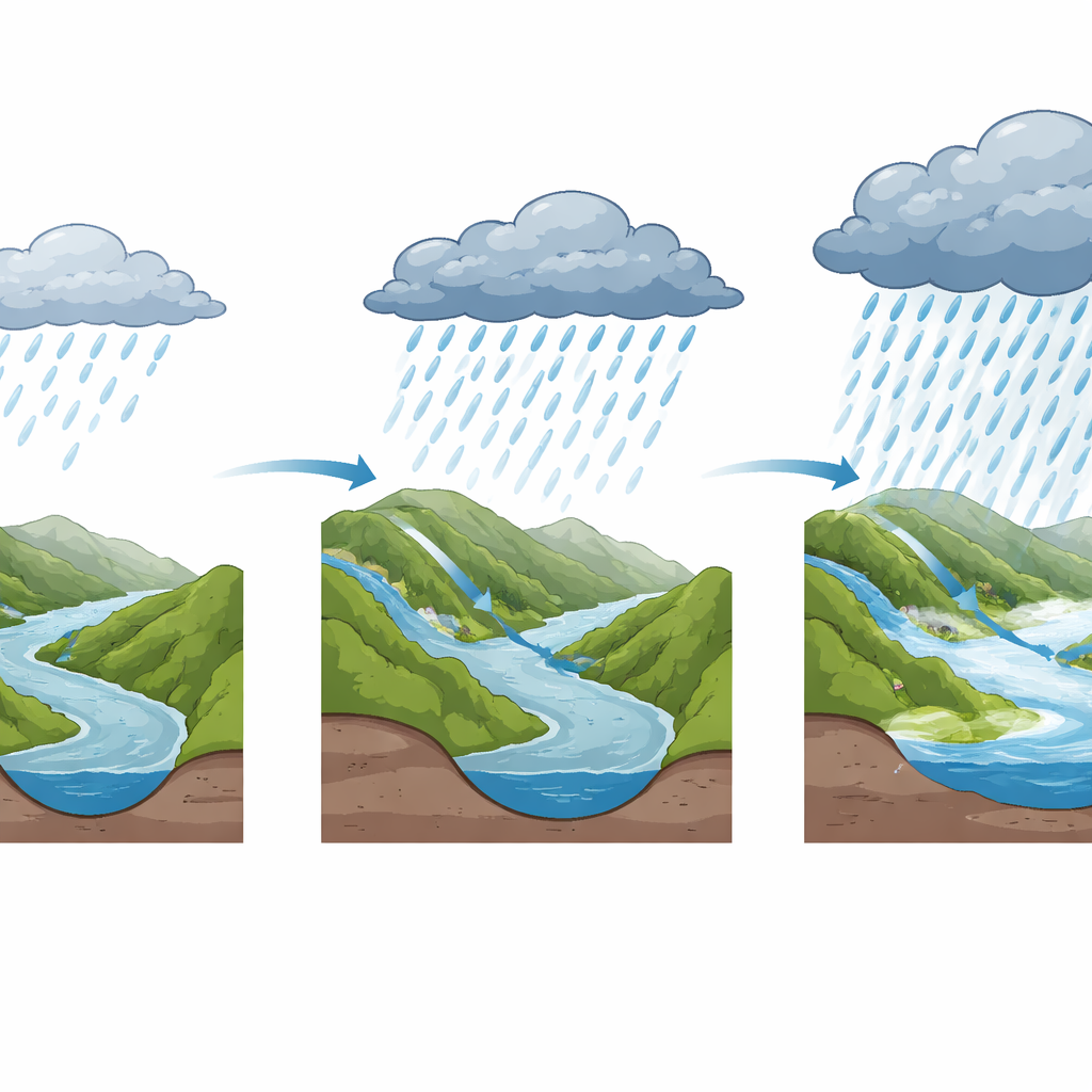
The picture changes sharply when the models are extended through the twenty‑first century under a high‑emission scenario. Almost every index tied to how much, how often, and how intensely it rains shows a robust rise. Total annual rainfall is projected to increase by about 100 to 150 millimeters on average by 2100. The heaviest one‑day and five‑day rain events grow stronger, with typical maximum five‑day bursts increasing by roughly 10 to 20 millimeters. Days with heavy and very heavy rain become noticeably more frequent. Crucially, a growing share of the yearly rainfall comes from the very wettest and most extreme days, meaning more of the region’s water will arrive in short, intense episodes rather than being spread evenly through the year.
Where the changes hit hardest
Maps of the indicators highlight clear geographic patterns. Southern mountainous areas, already the wettest parts of the region, not only retain the highest rainfall but also see the largest absolute increases in heavy and extreme events. Maximum one‑day and five‑day totals there climb into ranges that greatly raise the risk of flash floods and large river floods. Central lowland areas, which today experience fewer extremes and somewhat longer dry spells, also face sizable relative increases in heavy rain frequency and intensity. By the late century, even these currently “moderate” zones could see more frequent downpours that surpass anything recorded in the recent past, while changes in the length of dry and wet spells remain much more uncertain.
What this means for people and planning
Taken together, the study concludes that if high emissions continue, the Vistula and Oder basins are on track for a future where heavy rain falls more often, in more intense bursts, and contributes a larger share of the region’s total rainfall. This does not guarantee more floods in every river every year, but it strongly tilts the odds toward more damaging events. The authors argue that flood defenses, drainage systems, and design rules for roads, dams, and other infrastructure need to be updated with these projections in mind. Preparing now—by strengthening defenses, protecting floodplains, improving early warning, and planning for both wetter extremes and possible drought—can help Central European communities stay safer in a climate where the most intense rains are likely to keep rising.
Citation: Eini, M.R., Salmani, H., Ghezelayagh, P. et al. Rising heavy precipitation extremes in Central European river basins under a high emission scenario. Sci Rep 16, 11233 (2026). https://doi.org/10.1038/s41598-026-45624-9
Keywords: extreme rainfall, Central Europe, flood risk, climate change, Vistula and Oder rivers