Clear Sky Science · en
Forewarning extreme precipitation events using scaling behaviors
Why sudden downpours matter
Flash floods, landslides, and urban waterlogging are often triggered not by days of rain, but by a few hours of intense downpours. Yet these short, violent bursts of rainfall remain among the hardest weather events to predict. This study asks a simple but powerful question: can we find hidden patterns in the timing of extreme hourly rainfall that help warn us before the next cloudburst hits, without relying on complex computer weather models?
Hidden rhythms in the rain
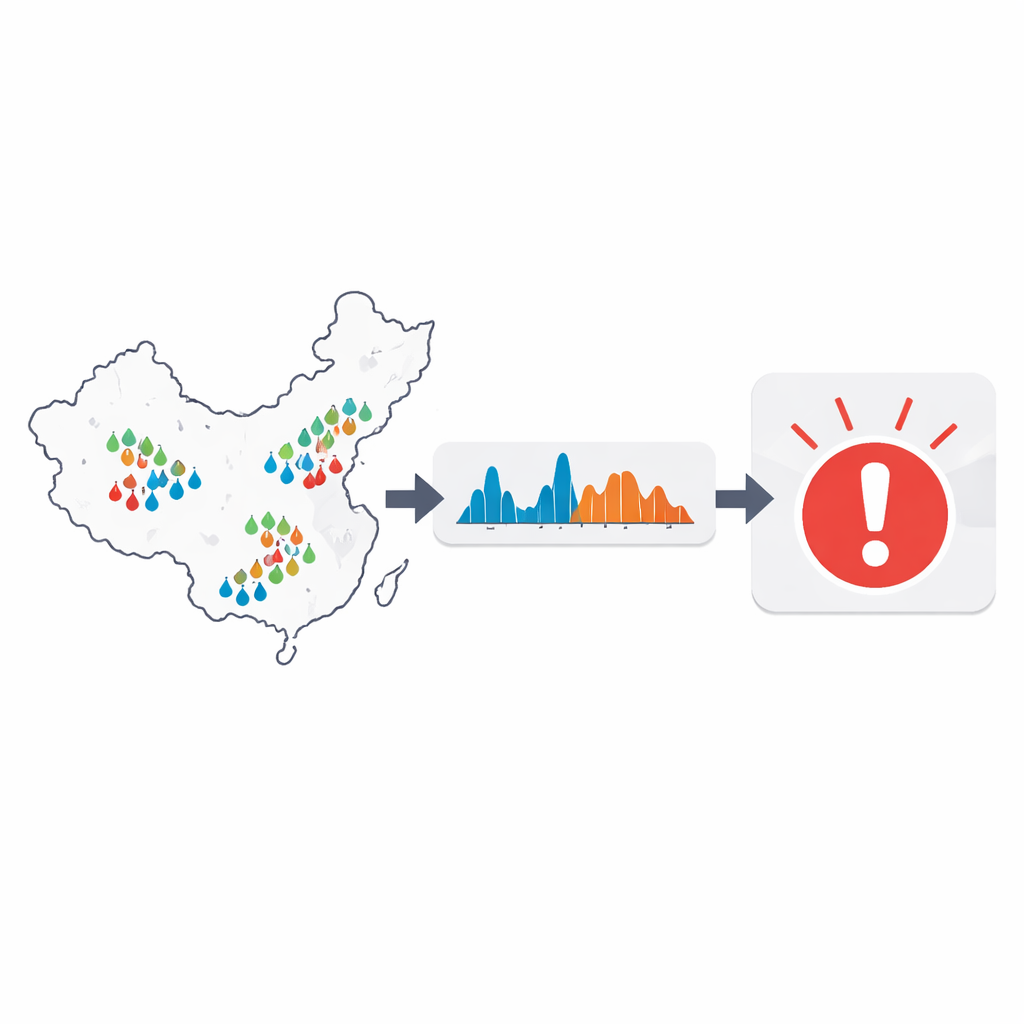
The researchers analyzed five years of high-quality hourly rain-gauge data from 1,729 stations across eastern China, a region that regularly suffers from heavy monsoon rains, typhoons, and frontal storms. Instead of looking only at how much rain falls, they focused on when extreme hourly events occur and how long they last. Using tools from time-series analysis, they examined whether the rainfall records show long-term persistence – in other words, whether wet or dry spells tend to “remember” what happened hours or days before, rather than behaving like random coin tosses. They found that hourly rainfall has two distinct time ranges: a short range (from about half a day up to five days) with strong persistence, and a longer range (beyond about five days) with much weaker memory.
Storms that arrive in bunches
With this background, the team turned to extremes: the rare hours with very high rainfall. They measured two basic features – how long it is between extreme events, and how long each extreme spell lasts once it starts. If extremes were random, the gaps between them would follow a simple pattern, similar to radioactive decay or a Poisson process. Instead, the observed gaps followed a “stretched” pattern with more very short and very long intervals than expected, meaning that intense downpours tend to come in clusters separated by quieter periods. The durations of extreme episodes also showed a higher chance of long-lasting events than random data would yield. When the scientists scrambled the order of the data to destroy long-range memory while keeping short-term structure, the clustering vanished, confirming that this memory is a key driver of bunching.
How yesterday’s storm shapes tomorrow’s risk
To make this connection more concrete, the authors computed how strongly each extreme event influences the chance of another one occurring soon after. They used a “hazard function,” which asks: given that an extreme hour happened t hours ago, what is the probability that another extreme will occur in the next short interval? For real rainfall data, this risk starts high soon after an extreme and then decays roughly as a power law up to about four days, after which past events have little effect. Artificial data constructed to share the same long-term persistence showed nearly identical behavior, while completely shuffled data gave a flat hazard curve, indicating no memory at all. These results show that the multi-scale structure of rainfall – with strong memory at short time scales – directly shapes how extremes cluster in time.
Turning patterns into early warnings
Building on this insight, the researchers proposed a simple statistical warning method. Using past years of hourly data at each station, they estimated the hazard function and then, hour by hour, converted the time since the last extreme into a current risk level. If the estimated risk exceeded a chosen threshold, the system would issue an alarm for an upcoming extreme event. They evaluated performance with a common diagnostic from forecasting, the receiver operating characteristic curve, which weighs how often the system correctly signals extremes against how often it correctly identifies non-extreme hours. Across stations, the overall warning efficiency ranged from about 0.69 to 0.93, with an average of 0.76, and was highest where the short-term memory in rainfall was strongest. When compared with a leading global weather forecasting system, their purely statistical method was slightly less accurate but still competitive for six-hour lead-time warnings.
What this means for future flood safety
This work shows that extreme hourly rain in eastern China does not strike at random: it tends to cluster in time, and that clustering can be traced back to the way storms persist across hours and days. By quantifying how the risk of a new downpour rises and falls after each extreme, the authors demonstrate that a relatively simple, data-driven approach can provide useful early warnings that complement sophisticated numerical weather models. In practical terms, cities, farmers, and water managers could one day use such pattern-based tools to better anticipate when they are entering a “danger window” for flash floods, adding an extra layer of protection in a warming world where heavy rainfall is expected to become more common.
Citation: Yang, L., Yuan, N. & Chen, B. Forewarning extreme precipitation events using scaling behaviors. Sci Rep 16, 10795 (2026). https://doi.org/10.1038/s41598-026-45565-3
Keywords: extreme precipitation, hourly rainfall, clustering of storms, early warning, climate variability