Clear Sky Science · en
Comprehensive eco-geo-environmental assessment of the Sichuan–Yunnan ecological barrier zone using a random forest model
Why this mountain shield matters
The Sichuan–Yunnan Ecological Barrier Zone in southwest China acts like a giant natural shield, protecting downstream cities and farmland with its forests, rivers, and steep mountains. At the same time, it is a hotspot for earthquakes, landslides, and rapid development. This study asks a simple but urgent question: how healthy is this shield, and where is it most at risk from the combined pressures of geology, nature, and human activity?
Seeing the landscape as one connected system
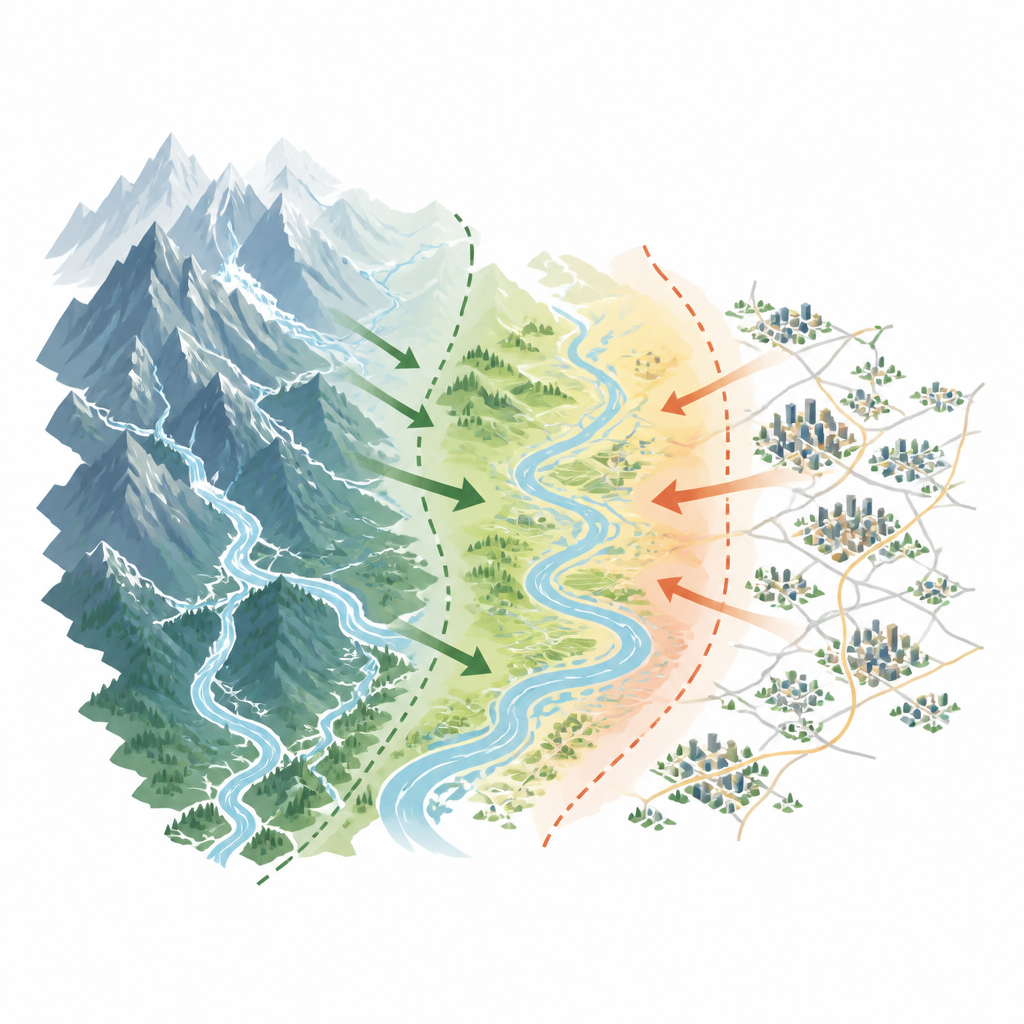
Instead of looking only at wildlife, or only at hazards, the researchers treat the region as a single, tightly linked system. They bring together three strands: the physical landscape of mountains and faults, the living cover of forests, soils, and rivers, and the pattern of roads, towns, and industry. Drawing on almost 25 years of data, they track where the land is high and steep, where vegetation is dense or sparse, how much water and soil the hillsides can hold, and how strongly people are reshaping the ground through construction, mining, and transport. This approach moves beyond simple checklists to a more realistic picture of how nature and society push on each other.
Using smart tools to weigh many influences
To untangle this complexity, the team uses two kinds of computer models. One, known as InVEST, estimates how much good the landscape is doing for people by storing carbon, filtering water, sheltering wildlife, and holding soil in place. The other, a machine learning method called a random forest, sifts through dozens of possible influences to see which ones matter most for environmental quality and hazard risk. This allows the weight of each factor to change from place to place, rather than being fixed by expert opinion. As a result, the model can capture subtle, nonlinear patterns, such as how steep slopes combined with road building and heavy rain sharply raise the chance of landslides.
Patterns of belts, cores, and pressure zones
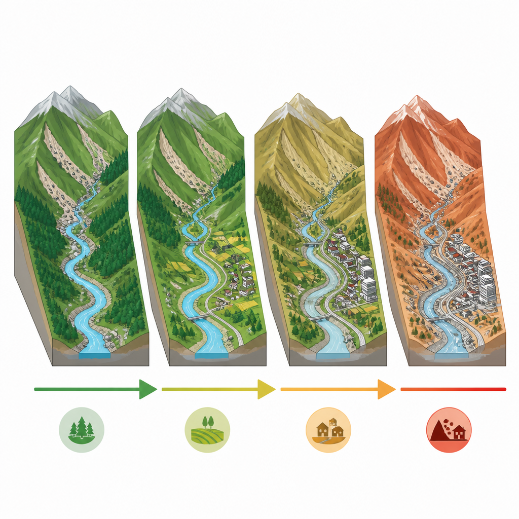
The analysis shows that eco‑geological conditions across the barrier zone form an ordered pattern rather than random patches. The authors describe a structure of three broad belts and two core areas. An eastern belt is more fragile, with dense population, busy transport corridors, and a higher likelihood of landslides and other disasters. A western belt acts more as a strong natural barrier, with intact forests and fewer people. Between them lies a transition belt where stresses and strengths overlap. Within this layout, two core nodes stand out as especially important for holding the system together and for managing risk. Overall, the region’s environmental quality is judged to be upper‑medium: most areas are in moderate to good condition, but the weakest zones cluster where human pressure and geological danger coincide.
Guiding smarter protection and development
Because the weak spots line up with busy valleys, fault zones, and expanding cities, the study argues for sharply different strategies from place to place. In the most fragile eastern sections and along major faults, the priority should be to curb disturbance, strengthen natural buffers such as deep‑rooted forests, and design engineering projects that break chains of cascading hazards. In more stable and well‑vegetated western and central areas, careful green development can continue so long as it does not erode the region’s role as a national ecological shield. The authors also point out that similar mountain regions around the world face the same mix of high ecological value, high disaster risk, and growing human demands, suggesting that their framework could help guide decisions far beyond China.
What this means for the future of the barrier
For non‑specialists, the core message is that this mountain barrier is neither safely intact nor doomed. It is conditionally stable: strong in many places, but with clear fault lines where pressure is mounting. By combining detailed maps of nature, geology, and human activity with flexible computer models, the study offers a sharper way to spot those fault lines and to plan around them. If its recommendations are followed, the region can keep serving as both a home for people and a safeguard for the wider landscape, rather than becoming a source of ever more costly disasters.
Citation: Yang, X., Wang, P., Tan, S. et al. Comprehensive eco-geo-environmental assessment of the Sichuan–Yunnan ecological barrier zone using a random forest model. Sci Rep 16, 15401 (2026). https://doi.org/10.1038/s41598-026-45455-8
Keywords: Sichuan–Yunnan ecological barrier, eco-geological risk, random forest assessment, mountain ecosystems, landslide susceptibility