Clear Sky Science · en
Integrating hydrological simulation and paddy yield prediction using SWAT in the Bharathapuzha River basin of South India
Why Rice and Rivers Matter Here
In the southern Indian state of Kerala, rice is more than a meal—it is central to culture and daily life. Yet the state now produces only about one-fifth of the rice it needs. Climate change, shifting monsoons, and falling groundwater are steadily squeezing harvests, especially in Palakkad district, often called Kerala’s rice bowl. This study asks a practical question with big consequences: can we use computer models of rivers and rainfall to forecast how much rice farmers will harvest, and in turn plan water and farming decisions more wisely?
Connecting Fields to the Whole River Basin
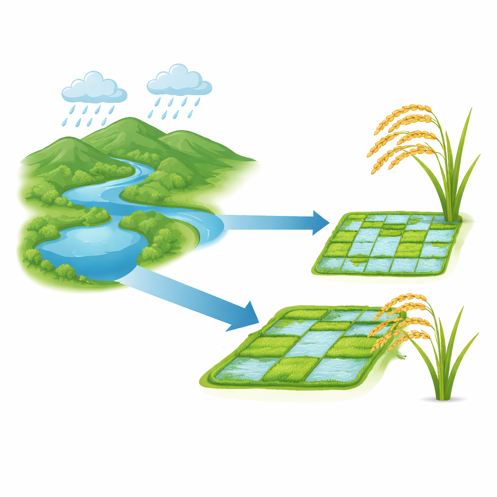
The research focuses on two major rice-growing blocks—Palakkad and Alathur—within the Bharathapuzha River basin of South India. Farmers there depend heavily on irrigation water stored in the Malampuzha reservoir, which captures monsoon rains flowing down from surrounding hills. Instead of looking at rice fields in isolation, the authors treat them as the end point of a much larger water story: rain falling on mountains, water soaking into soil or running off the land, flowing through streams and canals, and finally reaching the paddies. To follow this chain from cloud to crop, they use a well-known computer tool called SWAT (Soil and Water Assessment Tool), which can simulate how water moves across a landscape and how crops grow under different conditions.
How the Computer Model Was Built
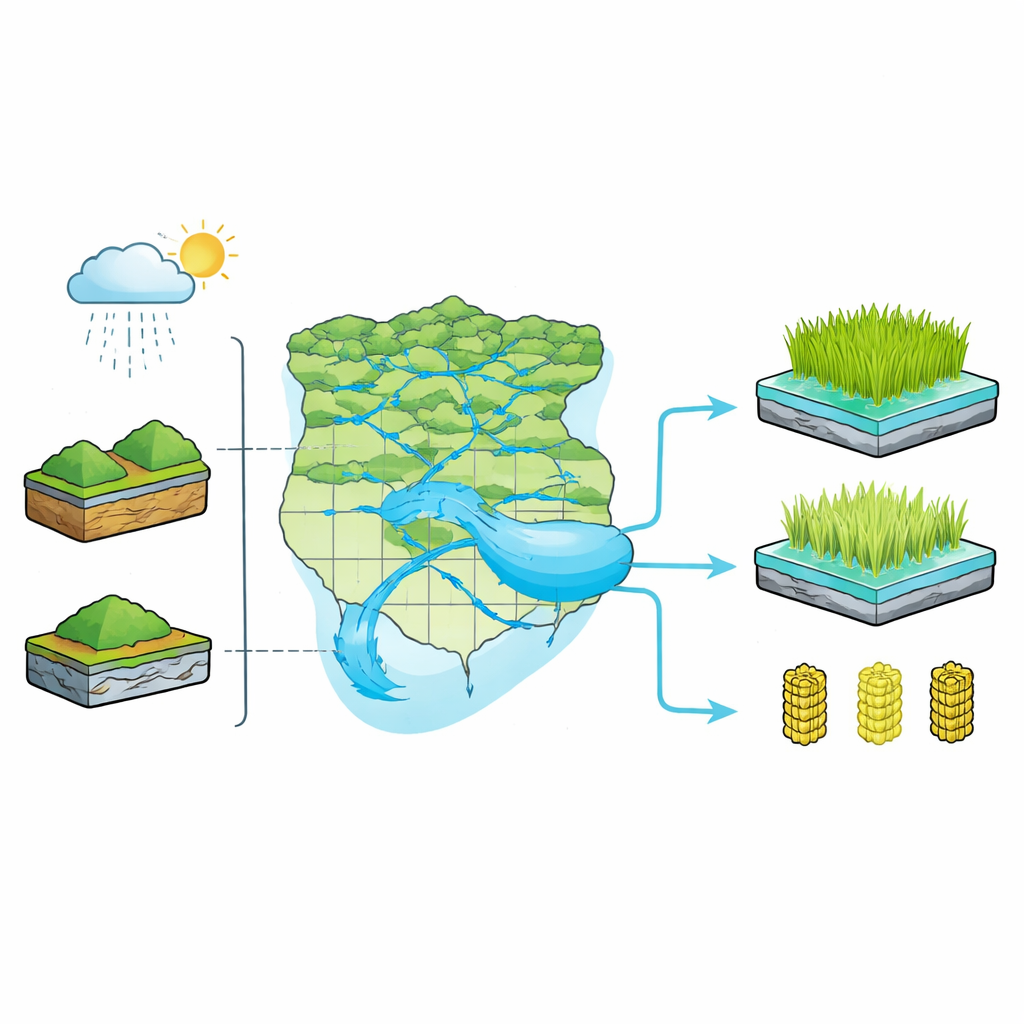
To make the virtual river basin behave like the real one, the team first assembled a detailed picture of the area: digital elevation maps to trace slopes and drainage, land-use and soil maps to see where rice is grown and what the ground is made of, and long records of rainfall, temperature, and river flow. SWAT divides the basin into many small units that share similar soil, land cover, and slope. For each unit, the model tracks rainfall, evaporation, runoff, and the water taken up by rice plants. The Malampuzha reservoir is represented as the main source of irrigation, with water automatically released to fields whenever the simulated soil becomes too dry. Because they lacked detailed field measurements of plant growth, the authors used standard rice growth settings built into SWAT and later checked the results against official harvest statistics.
Testing the Model Against the River
Before trusting any yield predictions, the researchers made sure the model could reproduce the river’s behavior. They compared simulated monthly streamflow at a key gauging station, Kuttipuram, with observed data from 1998 to 2017. By carefully tuning a set of influential parameters—such as how quickly groundwater responds, how easily water moves through soil, and how much becomes surface runoff—they achieved what hydrologists consider “good” agreement between model and measurements. Statistical scores showed that the simulated flows captured both the overall volumes and the seasonal ups and downs of the river, with most observed values falling within the model’s uncertainty band. This gave confidence that the model’s picture of water moving through the basin was realistic enough to support crop analysis.
What the Model Says About Rice Yields
With the river behavior in place, the team turned to harvests. They compared SWAT’s simulated annual rice yields for 2008–2017 with reported yields in Palakkad and Alathur. The match was encouraging: for Palakkad, the model tracked year-to-year changes quite closely, while for Alathur it still followed the main pattern even if some peaks and dips did not line up perfectly. Overall, the model tended to slightly overestimate yields, which the authors trace to simplifying assumptions—such as using the same planting and harvest dates every year and assuming perfectly efficient irrigation canals. Still, both measured and simulated data show a worrying downward trend in production over the decade, in line with hotter seasons and more erratic rains.
What This Means for Farmers and Planners
To a layperson, the take-home message is clear: what happens upstream in the river basin strongly shapes the rice harvest downstream, and modern computer models can now capture this link well enough to guide decisions. By tying together rainfall, river flow, reservoir storage, and paddy yields in one framework, the study offers a tool for planning water releases, choosing rice varieties, and adjusting planting schedules as the climate changes. Although there is room to improve the realism of crop details and irrigation losses, the work shows that Kerala’s “rice bowl” can be managed more intelligently if we treat it as part of a living river system, not just a patchwork of fields. That integrated view is essential for keeping rice on plates and farming livelihoods secure in a warming, water-stressed future.
Citation: Karunanidhi, D., Nair, G.S., Subramani, T. et al. Integrating hydrological simulation and paddy yield prediction using SWAT in the Bharathapuzha River basin of South India. Sci Rep 16, 10797 (2026). https://doi.org/10.1038/s41598-026-45201-0
Keywords: rice yield, irrigation, watershed modeling, climate impacts, Kerala agriculture