Clear Sky Science · en
Evaluating the propagation process of meteorological, hydrological, and agricultural drought dynamics in the Yellow river basin
Why Drought Cascades Matter
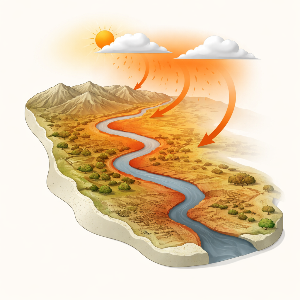
Drought is often described as a lack of rain, but in reality it is a chain reaction that ripples through rivers, soils, farms, and entire societies. In northern China’s Yellow River Basin—a region that feeds tens of millions of people—this chain is becoming more complex as climate change and heavy water use reshape when and how different kinds of drought unfold. This study takes a fresh three-dimensional look at how dry weather spreads through the basin’s rivers and farmlands over space and time, revealing patterns that can help protect water supplies, crops, and communities.
A River Basin Under Pressure
The Yellow River Basin stretches from high, cold plateaus in the west to warmer farming plains in the east. Rainfall is uneven, evaporation is high, and large areas are naturally arid or semi-arid. At the same time, the basin is one of China’s breadbaskets, with more than half of its water withdrawals going to irrigation. Since the 1980s, rising temperatures, shifting rainfall, and growing human demand have combined to make droughts more frequent and damaging. The authors focus on three faces of drought: meteorological (lack of rainfall), hydrological (low river flow), and agricultural (dry soils and stressed crops), asking how these different forms arise, interact, and move across the landscape.
Seeing Drought in Three Dimensions
To track drought as a living, moving phenomenon, the researchers used long-term records of rainfall, river runoff, and surface soil moisture from 1981 to 2022. They converted these data into standardized indices that show how far conditions stray from normal, then applied a three-dimensional "connectivity" approach that links together neighboring dry areas through space, time, and intensity. This allowed them to identify distinct drought events, measure how large and severe they became, and calculate where each event started, where it ended, and how far its center of mass migrated. They also used a statistical method called Granger causality, along with overlap and correlation measures, to test how strongly one type of drought tends to precede or respond to another, and with what time lag.
Where and How Droughts Travel
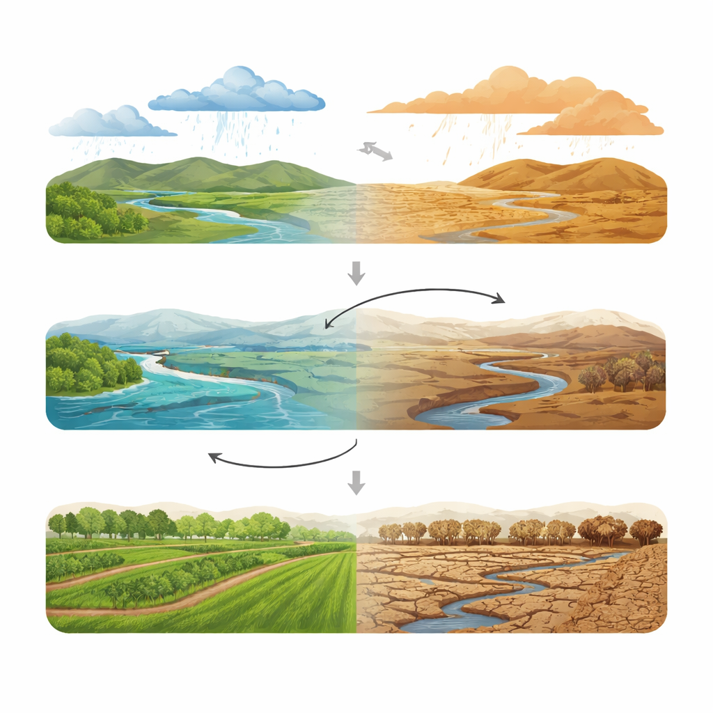
The team found that the three drought types occupy different niches within the basin. Meteorological droughts are widespread but especially common in the middle and upper reaches. Hydrological droughts cluster in the driest zones and in upstream mountains, often lasting longest and traveling the farthest as their centers shift down the river system. Agricultural droughts dominate semi-arid farming regions and have become more frequent, intense, and spatially concentrated since 2010. Before 2010, the migration paths of all drought types were relatively consistent—meteorological droughts tended to drift westward, hydrological eastward, and agricultural mainly eastward. After 2010, these paths became more tangled and less predictable, hinting at a changing climate and growing human interference reshaping how and where droughts develop.
Hidden Feedbacks Between Rivers and Fields
One of the study’s most striking results is the strength of the two-way relationship between hydrological and agricultural drought. Nearly the entire basin shows a bidirectional link: dry soils can reduce base flow to rivers, while low river levels and reservoirs feed back to soil moisture through groundwater and irrigation. Links involving rainfall are more uneven. In many regions, dry weather clearly drives river shortages and soil drying, but in others the statistical influence is weaker or runs both ways, likely because dams, diversions, and irrigation reshape the natural signal. Timing also matters. River flows typically lag behind rainfall deficits by one to two months across most of the basin. Agricultural systems respond to meteorological drought within one to five months, mainly in summer and autumn when crops and evaporation demand are highest. The response between rivers and fields is generally faster from hydrological to agricultural drought (about one to three months) than in the opposite direction.
What This Means for People and Planning
Put simply, the study shows that dry spells in the Yellow River Basin do not just flicker on and off; they evolve as moving, interacting waves of stress in the atmosphere, rivers, and soils. Hydrological droughts tend to roam farthest, agricultural droughts have intensified in recent decades, and the feedback between rivers and farmlands is now so strong that each can help predict the other. For decision-makers, these insights provide a roadmap for earlier warnings and smarter responses: if a rainfall deficit appears in spring, managers can anticipate when and where river flows and soil moisture are likely to decline in the following months, and how irrigation or reservoir operations might amplify or dampen those effects. By treating drought as a connected system rather than a single number, the approach offers a more realistic basis for safeguarding water security and food production in a warming, heavily managed river basin.
Citation: Gu, X., Li, Y., Zhang, Y. et al. Evaluating the propagation process of meteorological, hydrological, and agricultural drought dynamics in the Yellow river basin. Sci Rep 16, 14564 (2026). https://doi.org/10.1038/s41598-026-45050-x
Keywords: Yellow River Basin drought, drought propagation, hydrological drought, agricultural drought, climate and water management