Clear Sky Science · en
Four decades of hydroclimate-driven change and ecological condition in a Baltic raised bog assessed with Landsat and RSEI
Why this hidden wetland matters
Peat bogs may look like quiet, soggy wastelands, but they are actually powerful long term carbon vaults that help cool the planet. This study follows one such bog in northern Poland over forty years, asking how a warming and drying climate and old drainage ditches have changed it, and whether satellite images can tell us if the bog is truly healthy or just turning greener in disguise.
A living sponge on the Baltic coast
The research focuses on Bagna Izbickie, a raised bog near the Baltic Sea that began forming 8,000 to 9,000 years ago. Over millennia, layers of waterlogged plant material built up into a deep dome of peat. Like other peatlands, it covers a small area but stores an outsized amount of carbon. In the last two centuries, however, canals and pumps were installed to dry the landscape for farming and peat cutting. Since the 1980s, the site has been legally protected, and managers have tried to reverse the damage by blocking ditches and cutting back trees that colonized the formerly open wetland. 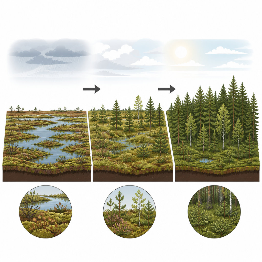
Watching change from space
To track how the bog and its surroundings changed between 1984 and 2024, the team used decades of Landsat satellite imagery. They grouped each 30 meter pixel into one of three simple land covers: forest, bog, or grassland. They also calculated an ecological score called the Remote Sensing Ecological Index, which blends four signals from the satellite data: how green the vegetation is, how moist the surface appears, how hot it is, and how much bare ground is visible. Higher values generally mean more plant cover, more moisture and cooler surfaces, all features that often indicate a healthier environment.
A shift from open bog to closed forest
The maps reveal a striking transformation. In 1984, just over half of the reserve was forest and more than a third was open bog. By 2024, forest covered almost 84 percent of the area, while bog had shrunk to only about 10 percent. Grasslands remained a small and relatively stable fraction. Forest spread especially along the edges and into areas that had once been open peatland, leaving the remaining bog patches smaller and more fragmented. These patterns match what scientists expect when drainage lowers the water table, making it easier for trees to take root on what was once too wet for them.
Greener does not always mean wetter
At first glance, the overall ecological score for the reserve improved over time. Surfaces became greener, cooler looking pixels grew rarer, and bare ground was less common. Forest and grassland both showed clear increases in this index, especially during warm recent summers, when trees and grasses apparently thrived. The bog pixels, however, told a different story. Their ecological score slipped slightly over the decades and dropped in the warm, dry years of the late 2010s and early 2020s. While the bog also became greener, its moisture signal did not show a steady recovery, and its condition reacted negatively to hotter summers. 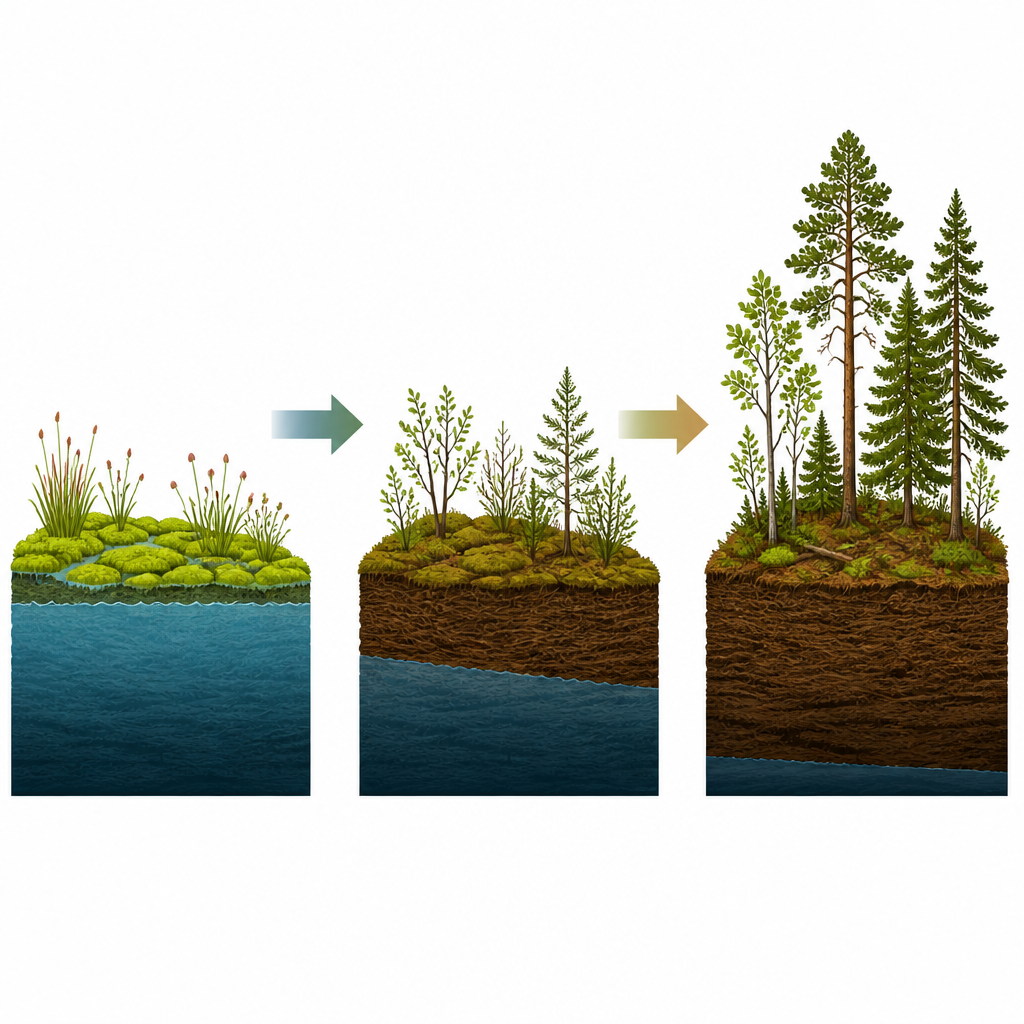
What satellites can and cannot tell us
The study highlights both the power and the pitfalls of using broad satellite indicators to judge ecosystem health. Because the ecological index rewards dense, green vegetation and hides bright bare soil, it can rise as trees invade a bog even while the water table falls and specialist peat forming plants disappear. In other words, a landscape can look better from space while losing the very wetland qualities that store carbon and support rare species. The authors argue that such indices should always be read separately for different habitat types and combined with more direct clues about water conditions, including radar based moisture measures.
What this means for peatland protection
For a lay reader, the main message is that this Baltic bog is quietly turning into a forest under the combined push of past drainage and a warming, drying climate. Restoration actions like ditch blocking and tree removal are important, but so far they have not fully halted the long term loss and vulnerability of the bog. The work shows that long satellite records are powerful tools for tracking these changes, yet it also warns that simple greening trends can be misleading. Protecting peatlands will require not only watching them from space, but also paying close attention to how wet they stay and how well they resist being overrun by trees.
Citation: Radosław, C., Stanisław, Ł., Michał, J. et al. Four decades of hydroclimate-driven change and ecological condition in a Baltic raised bog assessed with Landsat and RSEI. Sci Rep 16, 14912 (2026). https://doi.org/10.1038/s41598-026-44890-x
Keywords: peatlands, raised bog, remote sensing, forest encroachment, climate-driven drying