Clear Sky Science · en
Phase-dependent modulation of the MJO during cross-equatorial northerly surges (CENS)
Storm Highways That Cross the Equator
In parts of Southeast Asia and northern Australia, bouts of extreme rain and flooding can arrive in sudden bursts that seem to come out of nowhere. This study looks at one of the hidden "storm highways" behind those events: powerful winter winds that cross the equator from north to south and collide with a slow-moving pulse of tropical storms that circles the globe. By understanding when and how these two large-scale patterns meet, scientists can better explain—and eventually help predict—dangerous rainfall episodes over the Maritime Continent, the island-dotted region stretching from Indonesia to Papua New Guinea.
Two Giant Weather Rhythms Meet
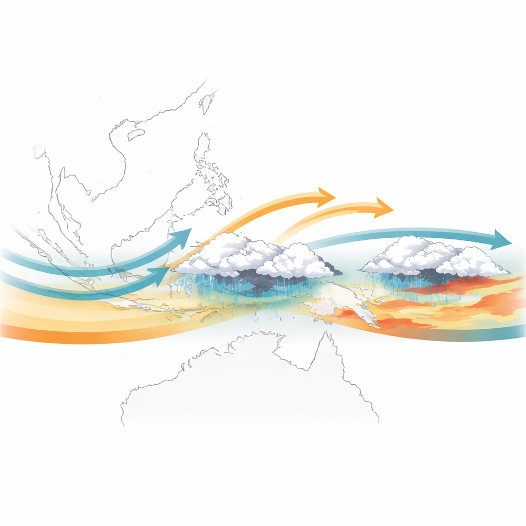
The work focuses on the cross-equatorial northerly surge, a blast of cool, dry air that spills out of high-pressure systems over East Asia during the Northern Hemisphere winter, races southward, and crosses the equator over the South China Sea and nearby passages. As these winds sweep over warm tropical waters, they quickly pick up moisture and can fuel long-lasting downpours over western Indonesia and neighboring areas. At the same time, the region is under the sway of the Madden–Julian Oscillation, a massive, slowly moving pulse of cloud and rain that travels eastward around the equator on a roughly 30–60 day cycle. When these northerly surges and the stormy phase of the oscillation overlap, earlier studies showed that rainfall can be boosted severalfold compared with either influence alone.
Why Timing Along the Storm Track Matters
Using 84 years of global weather reanalyses and nearly three decades of satellite-based rainfall data, the author examined when surges occur relative to the position of the Madden–Julian Oscillation and how rainfall and air patterns differ between days with and without surges in the same stage of the oscillation. The analysis confirms that surges strongly favor certain phases: almost four out of five surge days happen when the main storm cluster of the oscillation sits over the Maritime Continent or has just moved into the western Pacific. This preference hints that the oscillation not only sets the backdrop for surges to form but may, in turn, be nudged and reshaped by the surges themselves.
Local Cloud Bursts Versus Widespread Rains
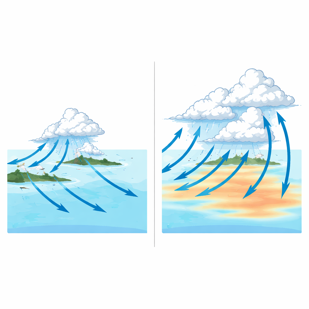
The study reveals that the impact of a surge strongly depends on where the oscillation’s stormy core is located. When that core is over the islands of the Maritime Continent, surges tend to sharpen and intensify rainfall close to Java and along northern Australia. In this stage, the extra push of air from north to south strengthens the pileup of air and moisture just south of the equator, concentrating rising motion and heavy rain in a relatively narrow belt. Later, when the stormy core has shifted east into the western Pacific, surges are linked to a much broader and deeper pattern: enhanced rain spreads over a wider swath on the western rear side of the oscillation, and even along and off the northeast coast of the Philippines. Vertical slices through the atmosphere show that in this later stage, upward motion and wind changes extend higher and farther, consistent with taller, more organized storm systems.
Warm Seas and Shifting Storm Paths
The ocean surface also reflects this phase-dependent behavior. In both stages, strong northerly winds cool the South China Sea, carving out a tongue of cooler water. But when surges occur while the oscillation is in the western Pacific phase, unusually warm patches appear and spread across that ocean sector. These warm areas remain even when years with strong El Niño or La Niña events and very intense oscillation episodes are filtered out, suggesting they are not just a background feature. One possibility is that surges help bend the storm track of the oscillation slightly southward, clearing clouds in some areas and allowing more sunlight to warm the sea. Another is that pre-existing warm waters make both the surges and the oscillation’s storms more likely or more intense. Because the study compares snapshots rather than following events through time, it cannot yet say which process dominates, but it provides clues and a testable sequence for future work.
What This Means for Future Forecasts
Overall, the study shows that these cross-equatorial wind bursts are not passive passengers in the tropical weather pattern. Their occurrence is tied to clear, phase-dependent shifts in rainfall, air flows, and sea temperatures along the path of the Madden–Julian Oscillation—from localized cloud bursts around Indonesia to broad reorganizations of storms over the western Pacific. By documenting these patterns over more than eight decades and through the full depth of the atmosphere, the work lays an observational foundation for improving forecasts of heavy rain over Southeast Asia and northern Australia. It also points to the next steps: following the timing of these events more closely and using coupled atmosphere–ocean models to determine whether warm seas are driving, or being driven by, this powerful partnership between equatorial storms and winter surges.
Citation: Moteki, Q. Phase-dependent modulation of the MJO during cross-equatorial northerly surges (CENS). Sci Rep 16, 13675 (2026). https://doi.org/10.1038/s41598-026-44735-7
Keywords: Maritime Continent rainfall, cross-equatorial surges, Madden–Julian Oscillation, tropical intraseasonal variability, Western Pacific convection