Clear Sky Science · en
Assessment of geophysical methods for burial characterization: the old city cemetery in Murfreesboro, TN
Finding Lost Stories Beneath a Quiet Graveyard
The Old City Cemetery in Murfreesboro, Tennessee, looks like a peaceful patch of grass and aging headstones. But beneath its surface lie unmarked graves, the buried remains of a 19th‑century church, and traces of Civil War history. This study shows how scientists can “see” underground without digging, using tools that read subtle changes in the earth’s magnetic and electrical properties. Their work helps preserve fragile historic sites, protect forgotten burials, and guide any future excavations with care.
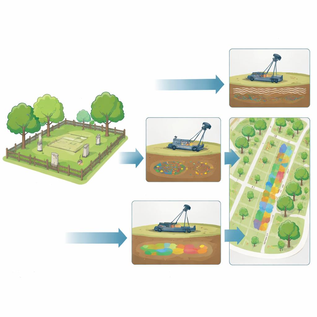
A Historic Site with Missing Markers
The cemetery covers about three and a half acres and includes the site of the original 1820 First Presbyterian Church, an early brick building that once served even as Tennessee’s statehouse. Over two centuries, the church was destroyed, the grounds were used as a wartime hospital and burial area, and many gravestones were broken, removed, or never placed. Today roughly 300 grave markers remain, but records show many more burials, especially in the southern section where enslaved people, the poor, and unknown individuals were laid to rest without durable stone markers. Local volunteers with the Rutherford County Archaeological Society wanted to understand what still lies underground so they can protect and interpret the site for the public.
Listening to the Ground with Modern Tools
To explore the hidden layout of the cemetery, the researchers used three main geophysical tools: ground‑penetrating radar, a magnetic sensor array, and two kinds of electromagnetic instruments. All of these are rolled or dragged across the ground surface, quietly measuring how the earth responds to radio waves or magnetic fields. Disturbed soil in a grave, brick foundations, metal coffin hardware, and even old fence lines can produce telltale anomalies—small but consistent departures from the background readings. The team surveyed the entire cemetery in 2019, then returned in 2021 to re‑examine key areas with finer spacing and a different electromagnetic device that could better pick up subtle soil changes.
Revealing Hidden Graves and a Vanished Church
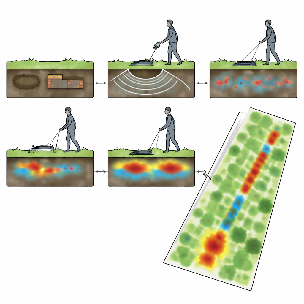
By comparing the measurements with known, marked graves in the northern part of the cemetery, the team learned what a burial “signature” looks like in each method. Ground‑penetrating radar produced repeated arch‑shaped reflections at depths of about 0.25 to 1.5 meters, consistent with grave shafts. Magnetic maps showed rows of low‑intensity anomalies where soil had been dug up and refilled, disrupting the natural alignment of tiny magnetic particles. Once these patterns were calibrated against marked graves, similar signals in areas without headstones—especially in two main survey zones and in the southern section—were interpreted as likely unmarked burials or family plots. Around the former church site, clusters of strong magnetic highs and radar reflections outlined buried rubble, iron objects (including probable iron coffins), and linear features matching parts of the documented stone foundation.
Tracing a Mysterious Underground Path
One of the most striking findings was a strong north–south feature that appeared in multiple datasets, which the authors call a long linear anomaly. It showed up clearly in both magnetic and electromagnetic surveys as a continuous band, and ground‑penetrating radar cross‑sections revealed a consistent underground object about half a meter deep and roughly a meter wide. Because it is narrow, straight, and extends across much of the cemetery, the team suggests it may be the remains of a buried brick path or similar constructed surface that once guided movement through the grounds. The feature is now slated for careful archaeological testing to confirm its nature without disturbing surrounding burials.
Why These Methods Matter for the Past and Present
By working with overlapping tools rather than a single instrument, the researchers could cross‑check patterns and gain both accurate positions and reliable depth estimates. They found that ground‑penetrating radar was particularly strong for estimating the depth and shape of individual graves, while magnetic measurements were efficient for mapping many features over a large area. The electromagnetic devices were less useful for graves themselves but excelled at highlighting broad changes in soil, including the long linear feature. Together, these methods outline where unmarked graves are most likely, refine the position of the lost church, and flag areas that may contain earlier excavations or debris. For a community trying to honor all who are buried there—especially those whose resting places were never marked—this kind of non‑invasive “x‑ray” of the ground offers a powerful guide for respectful preservation and future research.
Citation: Alam, M.I., Doll, W.E., Bartel, L. et al. Assessment of geophysical methods for burial characterization: the old city cemetery in Murfreesboro, TN. Sci Rep 16, 14007 (2026). https://doi.org/10.1038/s41598-026-44656-5
Keywords: ground penetrating radar, historic cemetery, archaeological geophysics, unmarked graves, Murfreesboro Tennessee