Clear Sky Science · en
Geophysical insights into groundwater aquifer characterization in a geologically complex region: a case study from the Meki–Alemtena area, central Ethiopia
Why hidden water under volcanoes matters
Millions of people in East Africa rely on groundwater—the water stored in rocks below our feet—for drinking, farming, and industry. In Ethiopia’s Rift Valley, this lifeline is under pressure from rapid population growth, expanding irrigation, and a harsh, often dry climate. Yet wells just a few kilometers apart can produce very different amounts and qualities of water. This study explores why that happens in the Meki–Alemtena area of central Ethiopia and shows how modern geophysical tools can reveal where the best underground water is hiding and how to tap it more wisely. 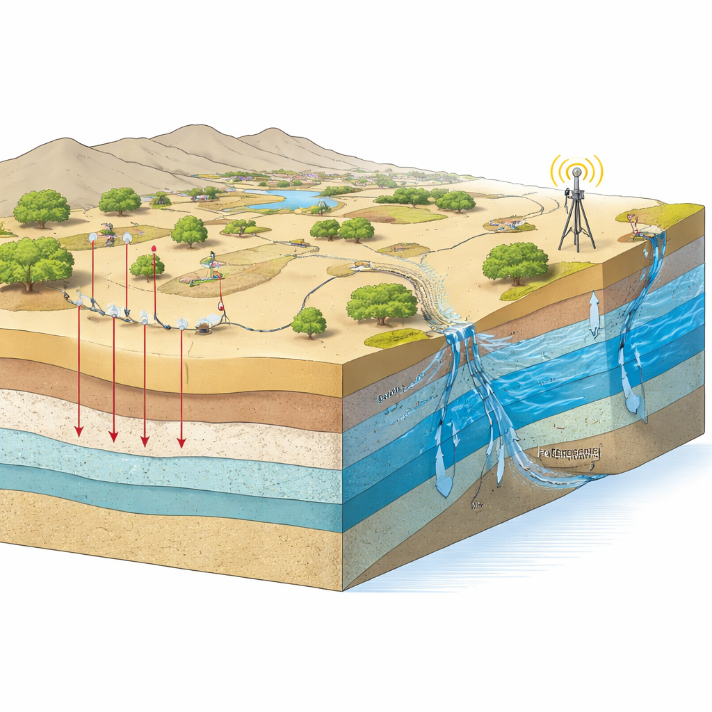
A landscape of faults, lava, and changing water needs
The study area lies between two major river and lake basins in the central Ethiopian Rift, a region shaped by volcanoes and the slow tearing apart of the African continent. The land is mostly semi-arid farmland with scattered shrubs and a growing urban footprint. Below the surface, the geology is anything but simple: layers of volcanic ash, pumice, lava flows, lake sediments, and river deposits are sliced by numerous faults and fractures. Some of these layers, such as loose river and lake sediments or broken volcanic rocks, act as sponges that store and transmit groundwater. Others, such as dense, unbroken lava, form barriers. As more wells are drilled to meet rising water demand, understanding this three-dimensional maze becomes essential to avoid drilling dry or saline wells and to protect the few zones that hold good-quality freshwater.
Listening to the underground with electricity and magnetism
To map this hidden structure, the researchers combined two main techniques. First, they performed sixteen vertical electrical soundings, injecting small electrical currents into the ground and measuring how easily they flow. Different rocks and sediments have different electrical resistivities, especially when they contain water or salt, so the resulting curves can be translated into layered cross-sections beneath each survey point. Second, they collected detailed magnetic measurements at 225 locations. Subtle variations in the Earth’s magnetic field reveal changes in rock type and the presence of buried faults and fractures. By carefully cleaning the data of noise from power lines and daily magnetic changes, then inverting and interpreting the signals, the team was able to reconstruct five to seven subsurface layers and the major structures that cut through them.
Finding the best underground reservoirs
The electrical results show a repeating pattern of thin soils and mixed clay–sand layers over thicker volcanic and sedimentary units. Low-resistivity zones, especially in fractured ignimbrite (a welded volcanic ash) and alluvial deposits, line up with water-bearing layers confirmed by nearby boreholes. Using a set of derived quantities known as Dar Zarrouk parameters, the team translated these resistivity profiles into estimates of how easily water can move through each aquifer, how thick it is, and how well protected it is from pollution at the surface. They found three main types of groundwater: saline water in the northwest where thick clay-rich and salty layers dominate, brackish water in intermediate zones, and fresher water in the elevated southeast where broken volcanic rocks and pumice are more prevalent. The highest ability to transmit water occurs in the northern and northwestern sectors, where thick fractured layers create wide, connected underground pathways. 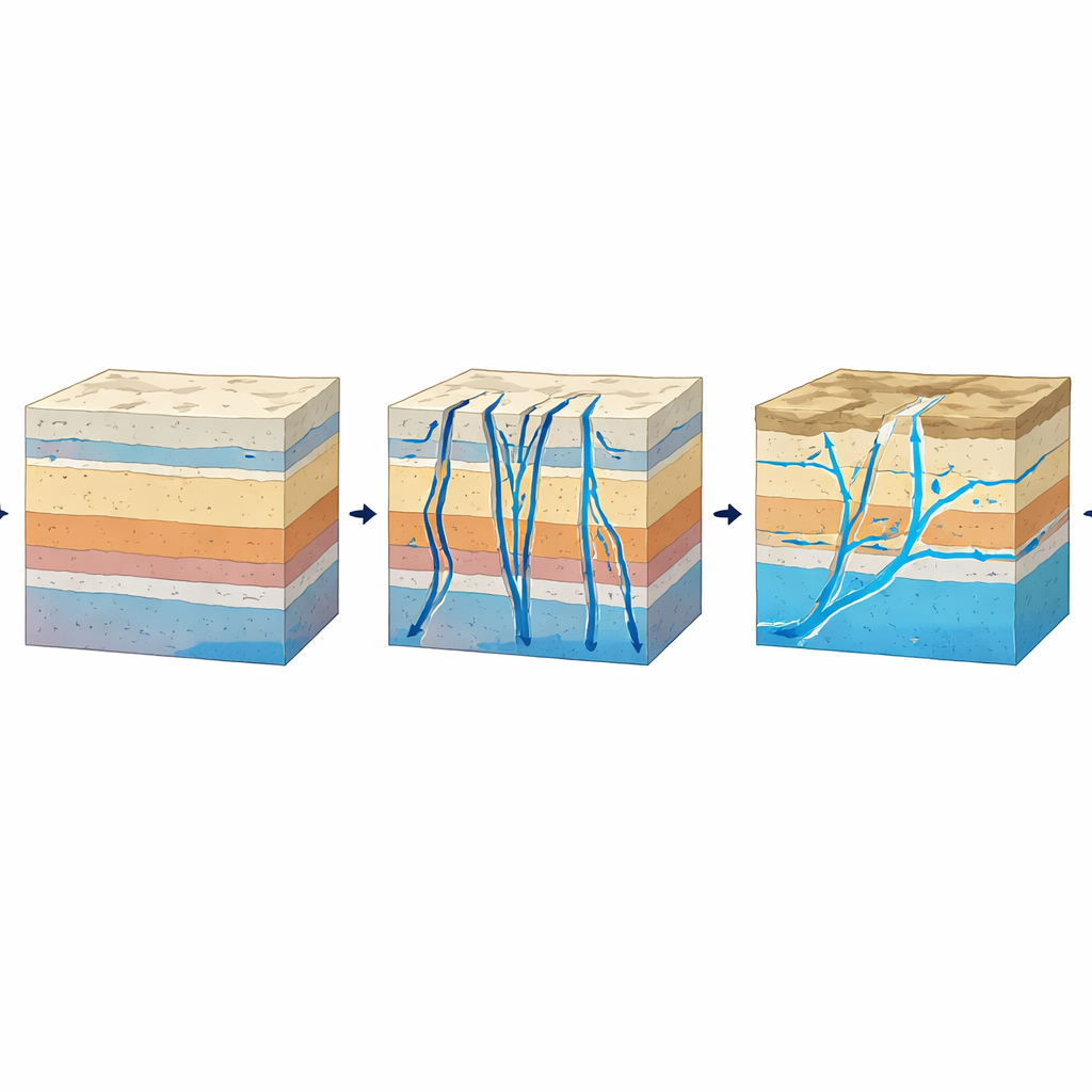
Faults as both highways and barriers for water
The magnetic maps add an important piece of the puzzle: they highlight long, narrow zones where the magnetic signal changes abruptly, marking faults and fracture corridors. Three main trends emerge—north–south, northeast–southwest, and east–west—matching known tectonic features of the Ethiopian Rift. Where these fault zones intersect the water-bearing volcanic layers, the electrical data show higher hydraulic conductivity and transmissivity, meaning water can flow more easily and wells are likely to be more productive. In contrast, compact rhyolite domes and certain fault blocks act as barriers that divert or confine groundwater. The study also assesses how well the overlying materials shield the deeper aquifers from surface contamination, finding mostly moderate to good protection but vulnerable zones in the southeast where protective clay layers are thin.
What this means for future water supplies
By weaving together electrical soundings, magnetic surveys, and borehole records, this research turns a geologically tangled region into a clearer map of where useful groundwater is stored, how it moves, and how salty or protected it is likely to be. The authors show that the best drilling targets in the Meki–Alemtena area are fractured ignimbrite and pumice-rich layers aligned with key fault zones, particularly in the north and northwest, while also flagging where saline water or low protective cover pose risks. Their workflow—linking rock properties, structural features, and basic hydraulic behavior—offers a practical blueprint for other data-scarce rift regions facing similar water stress. In everyday terms, it helps planners choose better well sites, avoid wasting money on poor aquifers, and manage a fragile underground resource more sustainably.
Citation: Mehammed, E.A., Bamnew, M.S., Tafere, T.A. et al. Geophysical insights into groundwater aquifer characterization in a geologically complex region: a case study from the Meki–Alemtena area, central Ethiopia. Sci Rep 16, 13957 (2026). https://doi.org/10.1038/s41598-026-44448-x
Keywords: groundwater, aquifers, Ethiopian Rift, geophysical survey, fault-controlled flow