Clear Sky Science · en
Investigating the impacts of urban agglomeration spatial structures on carbon emissions based on spatial networks of cities
Why the Shape of City Clusters Matters
As more people move into cities, how urban areas grow together into large city clusters can quietly shape the world’s carbon emissions. This study looks at China’s major "urban agglomerations"—groups of closely linked cities—and asks a simple but powerful question: does the way these cities are arranged and connected make it easier or harder to cut carbon pollution? The answer offers guidance for designing growing city regions that support both economic development and climate goals. 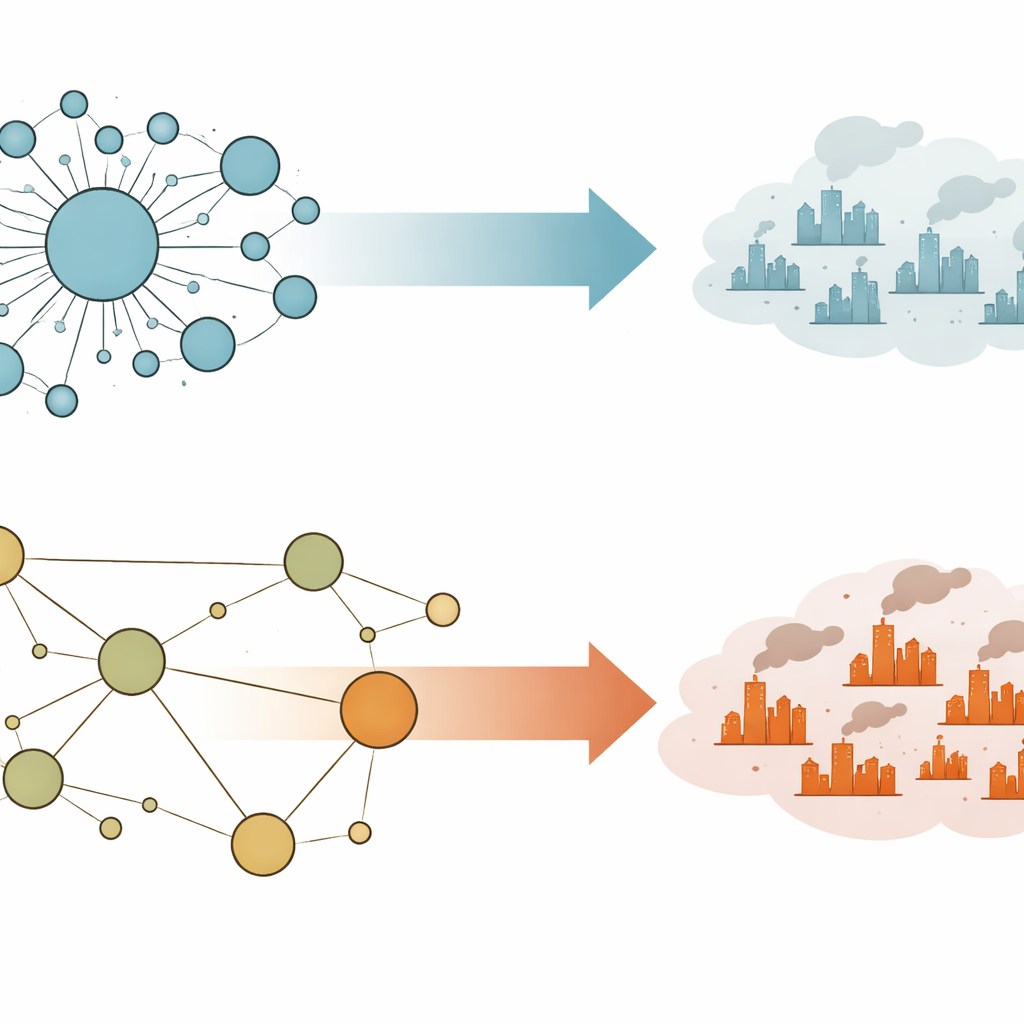
City Clusters as Living Networks
Instead of treating each city as an isolated dot on a map, the researchers view urban agglomerations as living networks. People, goods, and information flow back and forth, especially along rail lines. To capture this, the team used detailed passenger train schedules from 2010, 2015, and 2020 to map how 246 cities across 19 major Chinese urban agglomerations are actually connected. Each city becomes a node, each rail link a line with a calculated strength based on train frequency, distance, and city size. This network view reveals which cities genuinely act as hubs and which are more peripheral, beyond what simple headcounts of residents or economic output can show.
Two Ways to Be a “Center”
The study distinguishes between two kinds of centrality in a city cluster. "Morphological" centrality reflects visible size—how population is distributed across cities in a region. A cluster is more monocentric when one large city dwarfs the others, and more polycentric when several cities are similar in size. "Functional" centrality, by contrast, reflects how strongly each city is linked to others in the network. A smaller city might be functionally central if it sits at a key crossroads for travel and trade. By measuring both types of centrality, the researchers could see not only which cities are big, but which ones are truly crucial for interactions in the region.
Measuring Shape, Links, and Emissions
To understand how these patterns relate to carbon emissions, the team combined several strands of data. They used well-established datasets of city-level carbon dioxide emissions, filled any gaps with satellite-based estimates, and paired these with network measures such as overall connection strength, the tightness of local clusters of cities, and how unevenly connections are distributed. They also considered the total economic size of each agglomeration and its industrial structure. Using statistical models that track all 19 agglomerations over time, and cross-checking results with machine-learning methods, they examined how changes in spatial structure line up with changes in emissions. 
What Compact City Clusters Do to Carbon
The results overturn a common assumption drawn from studies of individual cities. Within a single metropolitan area, spreading jobs and homes across several centers can reduce commuting distances and cut emissions. But at the larger scale of city clusters, this study finds the opposite. When an urban agglomeration is more monocentric—meaning one core city clearly dominates in population and in functional importance—its total carbon emissions tend to be lower, after accounting for size and industry. Concentration appears to support shared infrastructure, tighter industrial clusters, and faster spread of cleaner technologies. At the same time, the study finds that when a few links in the network are extremely strong while many others are weak—a pattern they call high "network disparity"—emissions are higher, suggesting imbalanced development and missed chances for efficient cooperation across the region.
Designing Lower-Carbon City Regions
For non-specialists, the takeaway is straightforward: how cities are arranged and connected within a larger region matters for the climate. This work suggests that allowing one strong core city to anchor an urban agglomeration can help reduce carbon emissions, as long as smaller cities remain well connected and do not fall too far behind. Policies that support compact, well-linked regional structures—rather than scattered, uneven networks of mid-sized centers—may make it easier to share infrastructure, boost efficiency, and spread clean innovations. While the authors caution that more work is needed to fully untangle cause and effect, their findings provide a new lens for thinking about regional planning in a warming world.
Citation: Tan, G., Zhang, X., Wang, H. et al. Investigating the impacts of urban agglomeration spatial structures on carbon emissions based on spatial networks of cities. Sci Rep 16, 10863 (2026). https://doi.org/10.1038/s41598-026-44240-x
Keywords: urban agglomerations, carbon emissions, city networks, spatial structure, China urbanization