Clear Sky Science · en
Melt, fluids, and fractures beneath Ebeko Volcano (Kuril Islands) revealed by ambient noise attenuation tomography
Why hidden volcano plumbing matters
Ebeko Volcano, on a remote island in Russia’s Kuril chain, erupts frequently and sits just a few kilometers from the city of Severo-Kurilsk. People there face ash clouds, mudflows, and hot springs that bubble up across the landscape. This study uses subtle vibrations of the Earth, rather than direct drilling, to map the hidden pathways of hot rock, water, and gas beneath the volcano. Understanding this underground plumbing helps explain why certain craters blast ash every day while nearby springs quietly flow, and it can guide both hazard planning and future attempts to tap geothermal energy.
Listening to the Earth’s quiet noise
Instead of waiting for large earthquakes, the researchers took advantage of constant background tremors generated by the ocean, wind, and human activity. With a temporary network of 21 seismometers, they recorded a year of this ambient noise and processed it to create virtual seismic signals between each pair of stations. By studying how these waves fade as they travel, they could estimate how strongly the rocks beneath Paramushir Island absorb seismic energy. Areas that “soak up” more energy tend to be hotter, more fractured, or filled with fluids, while regions that let vibrations pass more easily are cooler, stiffer, or less broken up.
Shallow zones where fluids dominate
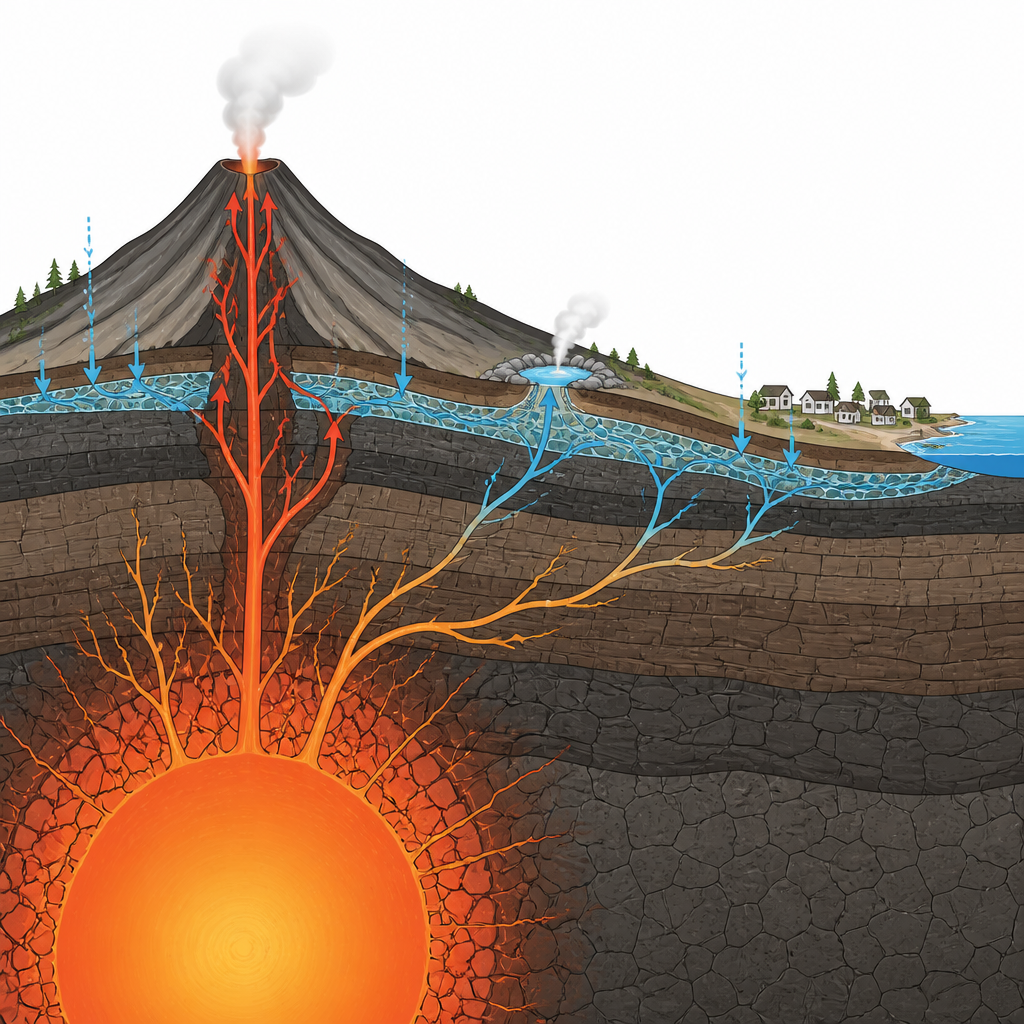
The strongest energy loss appears very close to the surface beneath Ebeko’s active craters and the nearby Yuriev hot springs, within roughly two kilometers depth. This shallow layer is interpreted as a highly broken zone of rock filled with hot fluids and gases. Repeated explosions and boiling groundwater likely keep the rock cracked and saturated, which both scatters and damps seismic waves. The same kind of strong signal stretches from the summit area toward Severo-Kurilsk, tracing a long, shallow aquifer that seems to carry warm water and steam toward the town at depths of less than one kilometer. This pattern helps explain why some springs stay hot and chemically stable even when the volcano’s activity changes.
A deep core surrounded by fluid pathways
Deeper down, about four to six kilometers beneath Ebeko, the picture changes. There the team finds a compact core that weakly attenuates seismic waves, ringed by zones that strongly absorb them. Combined with earlier studies of how fast waves travel, this pattern suggests a hot but mechanically strong magmatic core, perhaps a crystalline mush where magma has slowly cooled and stiffened while remaining very warm. Around this core, a halo of fractured, fluid-rich rock appears to act as a set of natural conduits. These pathways likely route magmatic gases toward the surface, feeding both the active vents at the summit and the Yuriev hot springs, which show remarkably steady water chemistry despite ongoing eruptions.
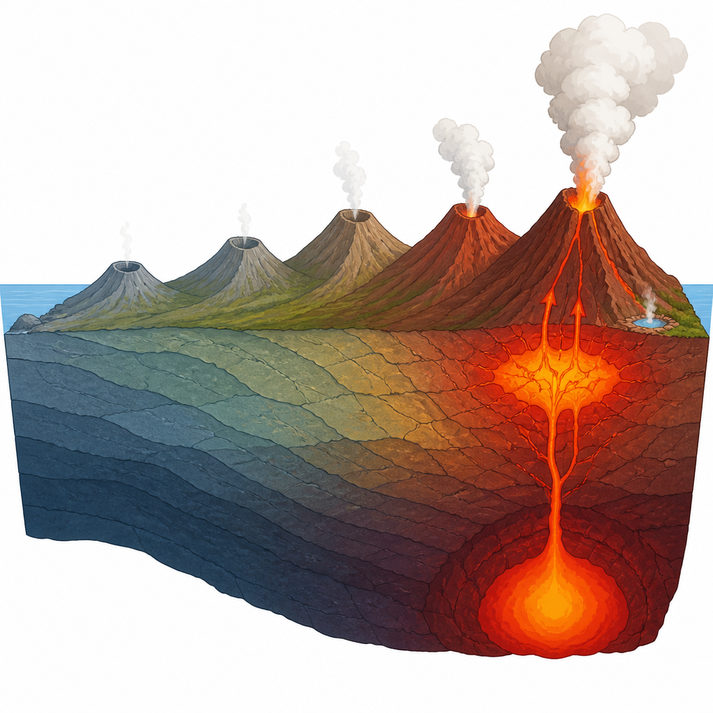
A volcanic ridge aging from south to north
The study covers not just Ebeko but the entire Vernadsky Ridge, a line of volcanoes running roughly north to south. The attenuation images reveal a clear trend: older, southern volcanoes show low energy loss, consistent with cooler, tighter rock and fading hydrothermal activity. Moving north toward Ebeko, the signals grow stronger, indicating more widespread fracturing and fluid circulation. In the middle of the ridge, beneath volcanoes considered dormant, intermediate levels of attenuation suggest lingering gas and warm fluids in the subsurface, even though surface activity is limited to occasional steaming. This gradual shift from quiet, cooled systems to a vigorously active one captures the life cycle of the ridge in seismic form.
What this means for people and heat resources
For non-specialists, the main takeaway is that listening to the Earth’s background noise can reveal where hot fluids, fractures, and magma are concentrated beneath a volcano. At Ebeko, the results show a shallow, fluid-rich cap feeding frequent blasts and fumaroles, deeper pathways that connect a hot magmatic core to springs on the flanks, and a north–south gradient that tracks how volcanic systems age and quiet down. These insights help refine hazard assessments, explain why earlier drilling hit hot but dry rock, and point to where usable geothermal resources might actually be found. More broadly, the approach offers a powerful, non-invasive way to map the hidden workings of similar arc volcanoes around the world.
Citation: Cabrera-Pérez, I., Komzeleva, V., Berezhnev, Y. et al. Melt, fluids, and fractures beneath Ebeko Volcano (Kuril Islands) revealed by ambient noise attenuation tomography. Sci Rep 16, 15134 (2026). https://doi.org/10.1038/s41598-026-43820-1
Keywords: volcano, magma, hydrothermal, seismic imaging, geothermal