Clear Sky Science · en
Experimental investigation and predictive model of entire suction range for undisturbed granite residual soil
Why this soil story matters
In many hilly, tropical regions, highways, embankments, and building foundations rest on a special kind of ground: granite that has weathered in place into reddish soil. Although it looks like ordinary dirt, this material’s ability to hold and release water controls how strong and stable the ground remains through seasons of rain and drought. This study explores how natural, undisturbed granite residual soil stores water, how that storage changes with repeated wetting and drying, and how engineers can quickly predict its behavior to design safer, longer-lasting infrastructure.
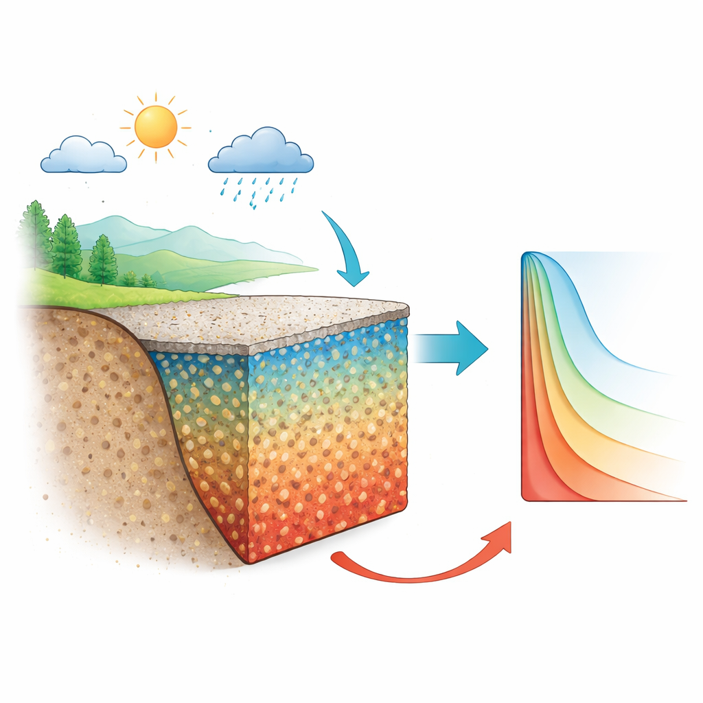
Soil that remembers its rock origins
Granite residual soil forms when solid granite slowly breaks down in place under warm, humid climates. Unlike soils that have been dug up and compacted in the lab, the undisturbed version still carries a complex network of pores and tiny cracks inherited from the original rock and later weathering. In southern China, such soils are widely used beneath roads and on cut slopes because they are readily available and economical. However, their moisture conditions can swing widely above the water table as seasons shift from wet to dry. Those moisture swings change how strongly soil particles stick together and how easily water moves, so engineers need a reliable way to describe the link between how wet the soil is and how hard it holds onto that water.
Tracing the soil’s water–holding fingerprint
The researchers focused on a key relationship called the soil–water characteristic curve, which relates the soil’s water content to its “suction” – effectively, how tightly the soil holds water as it dries. Measuring this curve over its full range, from nearly saturated to extremely dry, is usually slow and technically challenging. The team combined three indirect methods that probe different suction levels: a pressure plate setup for low suctions, a filter paper technique for intermediate ranges, and a vapor equilibrium method using salt solutions for very high suctions. They also examined the soil’s internal pore structure using mercury intrusion porosimetry, then converted those pore size data into an estimated water–holding curve using capillary physics. Together, these approaches revealed how the soil behaves across an enormous span of dryness, well beyond what is typically observed in everyday field conditions but essential for building solid predictive models.
How repeated drying reshapes the ground
To mimic years of seasonal weather, the team subjected undisturbed soil samples to up to six controlled wet–dry cycles, alternating between near-saturation and a lower moisture level representative of hot, dry conditions. Measurements showed that these cycles gradually reorganize the pore network: small pores merge into larger ones, and fine microcracks grow and spread. Mercury tests confirmed that with more cycles, the distribution of pore sizes shifts toward larger openings. This structural change makes the soil release water more readily and at lower suctions, signaling a loss of water–holding capacity and a tendency for faster moisture loss. These findings help explain why long-used road subgrades or natural slopes can slowly become more vulnerable to deformation and erosion over time.
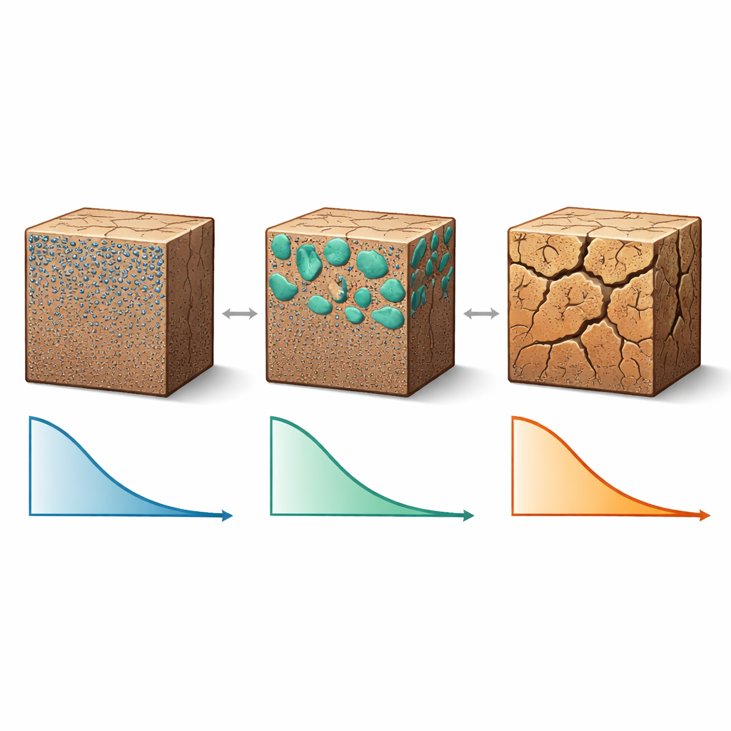
Finding faster ways to capture the full picture
By comparing methods, the study found that using all three suction techniques (pressure plate, filter paper, and vapor equilibrium) can cover the entire range needed, but the pressure plate portion is slow, often taking around a month per specimen. The researchers showed that the curve derived from pore structure data matches the pressure plate results very well in the low-suction range that matters most for engineering design. Building on this agreement, they demonstrated that a smart combination of filter paper, vapor equilibrium, and pore-based calculations can replace much of the time-consuming pressure plate testing without sacrificing accuracy. This optimized testing strategy dramatically shortens the path to a full water–holding curve while still capturing key behavior in the ranges where infrastructure performance is most sensitive.
A practical model for real-world design
Using all of the measurements together, the authors calibrated an existing mathematical framework to capture how the soil’s water–holding curve shifts as wet–dry cycles accumulate. They found that the model’s parameters change in a simple, nearly linear way with the number of cycles, allowing them to build a predictive tool: given a soil sample and an estimate of how many seasonal cycles it will experience, engineers can forecast how its moisture behavior will evolve. In plain terms, the study delivers both an efficient testing recipe and a practical prediction model for undisturbed granite residual soil. This can help planners and designers better anticipate long-term changes in ground strength and drainage beneath roads and slopes, supporting safer, more resilient infrastructure in regions where this distinctive soil is common.
Citation: Zhang, Y., Li, L. & Hu, B. Experimental investigation and predictive model of entire suction range for undisturbed granite residual soil. Sci Rep 16, 13036 (2026). https://doi.org/10.1038/s41598-026-43799-9
Keywords: granite residual soil, unsaturated soil, soil water retention, wet dry cycles, highway subgrade