Clear Sky Science · en
Assessing the spatiotemporal shifting of the Arpa river using remote sensing, GIS, and ARIMA for river morphology prediction
Why a shifting river matters
Rivers do not stay still. They slowly slide sideways, carve new paths, and reshape the land around them. For people living near the Arpa River in central India, these shifts affect farms, homes, roads, and water supplies. This study traces how the Arpa has changed over nearly five decades, and uses those lessons to estimate how it may move in the coming years. The findings help explain how nature and human activity together steer a river, and why planners need to pay attention.
Watching a river from space
The researchers relied on satellites to watch the Arpa River’s story unfold. They used a long record of Landsat images and digital elevation models, taken mostly after the monsoon season between 1972 and 2021. These images show the shape of the river channel, how wide it is, and where its center line lies within the valley. By carefully tracing the river on each image and checking their results against field measurements, they built a consistent map series of the river’s course through time.
Measuring bends and sideways drift
To turn pictures into numbers, the team drew 19 cross sections across the river and compared how the river’s center line crossed each one in different years. This allowed them to calculate how fast and how far the river bank shifted sideways at each location, and how much the overall channel width changed. They also measured how curvy the river is by comparing its winding length to the straight distance down the valley. Values greater than one reveal a meandering river. Together, these measures describe the river’s habit of swinging, narrowing, and lengthening over time.
What changed along the Arpa
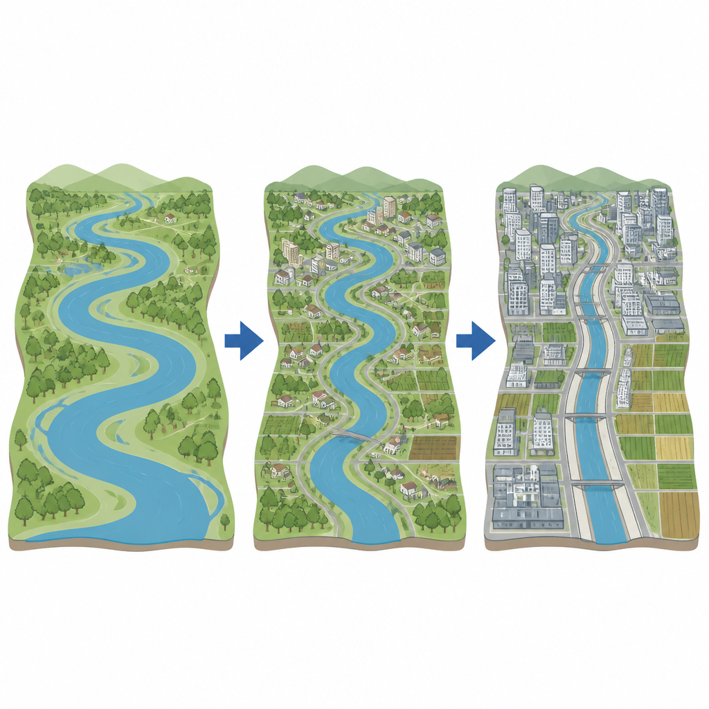
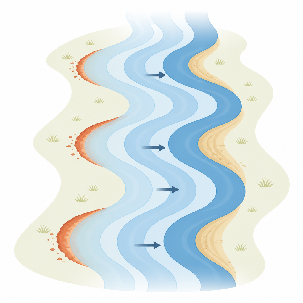
The Arpa River has shrunk and shifted noticeably. On average, its channel width fell from about 414 meters in 1972 to 282 meters in 2021, with some urban cross sections once reaching 780 meters wide but later narrowing dramatically. At the same time, the river’s total length grew from roughly 113 kilometers to over 152 kilometers, a sign that it has become more sinuous and irregular. The largest sideways shifts, sometimes hundreds of meters, occurred between 1972 and 1993, reflecting intense erosion on one bank and sediment build up on the other. Field photos confirm growing sandbars, exposed riverbed, and disturbed banks linked to sand mining, roads, dams, farming, and expanding towns.
Looking ahead with a time machine
To peek into the river’s future, the authors used a statistical tool called an ARIMA model, which learns patterns from past data and extends them forward in time. Feeding in the history of sideways movement at each cross section, they forecast the river’s likely positions in 2025, 2030, and 2035. The model suggests that the Arpa will keep shifting, often to the right bank at many locations, though leftward moves will also occur. Model checks show good accuracy at several sites, meaning these projections give a reasonable picture of likely trends rather than exact predictions at every bend.
What it means for people and planning
This work shows that the Arpa River is narrowing, becoming more winding, and continuing to slide across its valley under the combined influence of rainfall, sediment movement, dams, urban growth, and land clearing. By pairing satellite images with time series modeling, the study offers a practical way to spot where banks are most likely to erode or build up in the future. For local governments and communities, these insights can guide safer locations for buildings and roads, better protection of farmland and riverbanks, and more thoughtful watershed management before the river’s next moves catch people by surprise.
Citation: Soni, P., Patel, R.K., Patel, K. et al. Assessing the spatiotemporal shifting of the Arpa river using remote sensing, GIS, and ARIMA for river morphology prediction. Sci Rep 16, 14894 (2026). https://doi.org/10.1038/s41598-026-43449-0
Keywords: river migration, remote sensing, GIS, channel erosion, ARIMA forecasting