Clear Sky Science · en
A bayesian network approach for systemic risk analysis in unmanned aerial vehicle (UAV) operations
Why the Skies Full of Drones Need Smarter Risk Thinking
Delivery drones, aerial cameras, and emergency-response UAVs are rapidly becoming part of everyday life. Yet each flight must safely navigate bad weather, crowded cities, radio interference, and human error. This paper asks a crucial question: when many things can go wrong at once, which ones matter most? The authors build a quantitative model that traces how conditions on the ground and in the air combine with technology and pilot behavior to determine whether a drone flight is safe, successful, or dangerous to people below.
Seeing UAV Risk as a Connected System
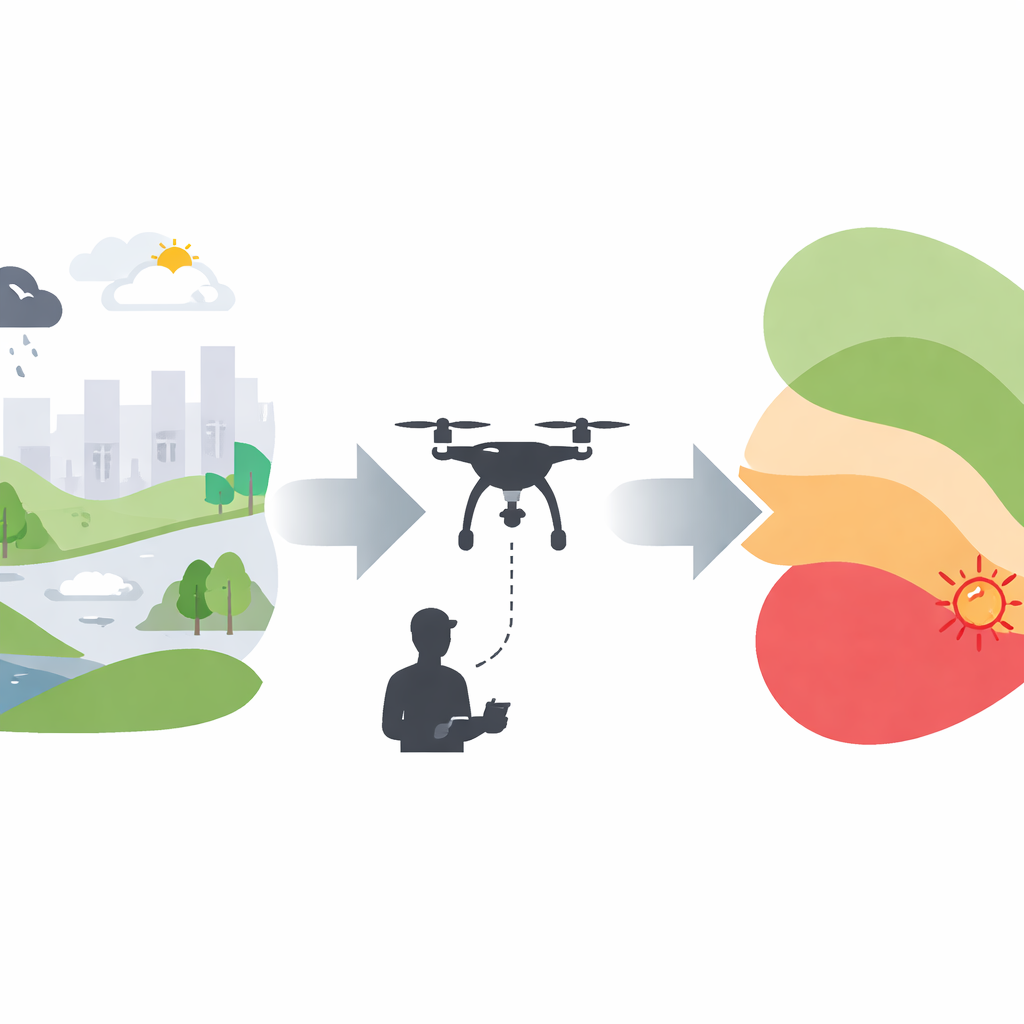
Most existing safety tools look at drone failures one piece at a time—such as a broken motor or a pilot’s mistake. That approach struggles with today’s complex operations, where weather, regulations, radio signals, software, and company pressures all interact. In this study, the authors use a Bayesian network, a kind of probabilistic map of cause and effect, to capture this web of influences. They organize twenty key factors into three layers. The first layer covers starting conditions such as weather, terrain, signal quality, company safety culture, pilot training, and mission difficulty. The second layer describes what can go wrong in flight, like unreliable hardware, software glitches, lost communications, and poor pilot awareness and decisions. The third layer tracks what ultimately happens: loss of control, whether the mission goal is met, and the level of risk to people on the ground.
Following the Chain from Conditions to Consequences
To make the model practical without needing huge datasets, the authors use a simplified way of combining risks that assumes each cause nudges the odds of failure independently. They set baseline probabilities for the starting conditions based on accident reports, regulations, and industry surveys, deliberately choosing a stressful scenario—such as complex urban terrain with possible bad weather—rather than an ideal day. They then estimate how strongly each factor tends to trigger the next one. For example, severe weather and poor maintenance both push airframe reliability downward, while a weak safety culture and low pilot experience erode pre-flight checks and in-flight decisions. This produces a full probabilistic picture showing how often each element is likely to be in a bad state and how those states cascade toward loss of control and accidents.
What the Model Says About Where Risk Really Comes From
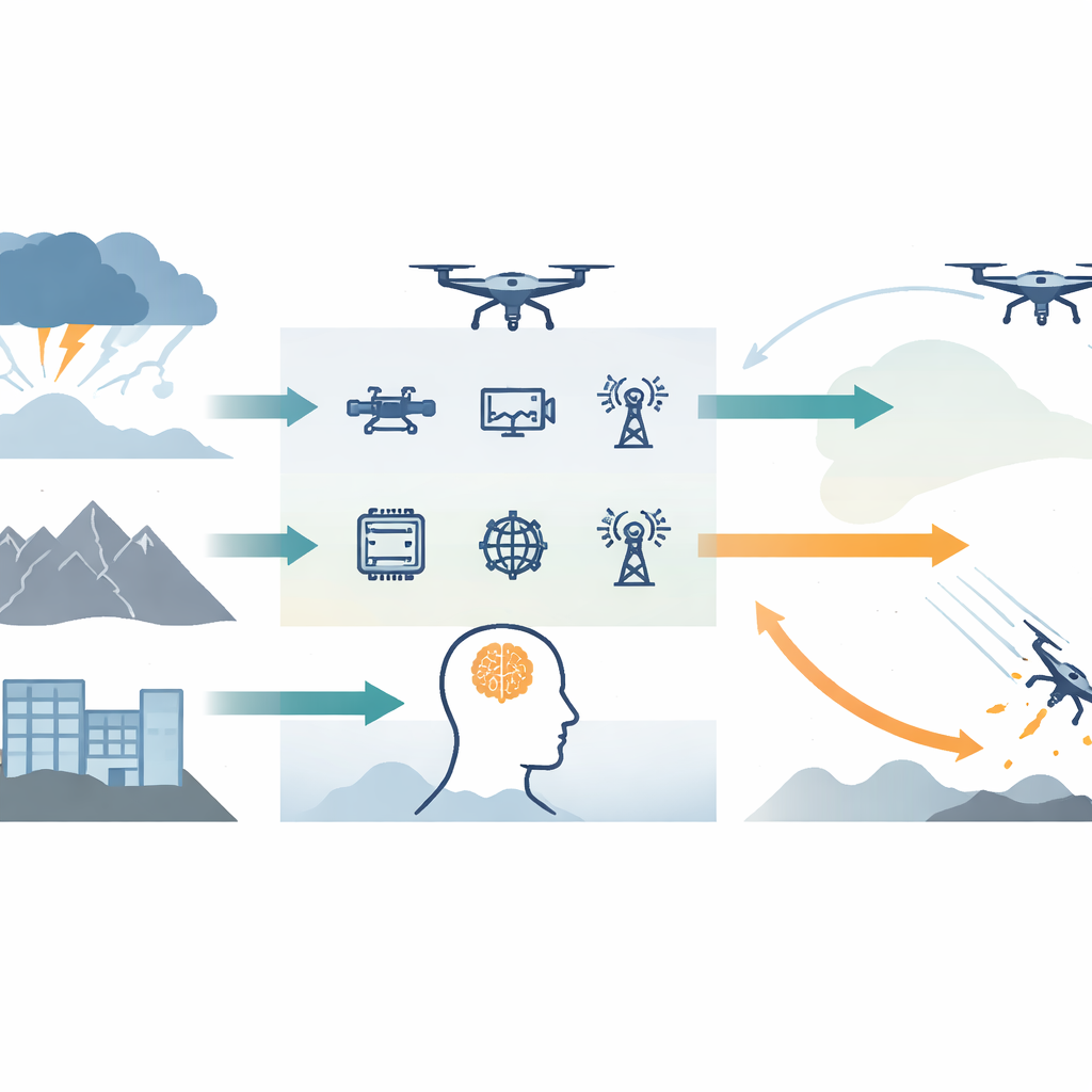
Under the stress-test conditions, the model paints a sobering picture: pilot performance emerges as a major weak point, with more than half of flights expected to suffer poor decision-making and nearly half reduced situational awareness. These human shortfalls, together with degraded navigation and communications, make a loss of control event alarmingly likely. But when the authors probe the model more deeply—asking which levers most change the odds of bad outcomes—a different pattern stands out. Across safety, mission success, and danger to third parties, two ingredients dominate: weather and terrain. Severe weather and complex, obstacle-rich environments consistently rise to the top as the strongest underlying drivers of accidents, failed missions, and risks to people on the ground. Technical problems and pilot experience still matter, but they are often amplifiers of environmental stress rather than the main source.
Why Mission Success Is Not the Same as Safety
The model also reveals that not all bad outcomes are alike. A flight can remain physically safe yet still fail its purpose. Here, signal interference—such as radio noise or satellite navigation disruption—plays a particularly important role. It may not always cause a crash, but it can corrupt data, disrupt payload control, or force early returns, all of which undermine mission success. In other words, protecting people and property is not enough; operators who care about reliable deliveries or high-quality sensing must also harden their systems against subtle communication and navigation issues, especially in dense urban settings.
From Reactive Flying to Smarter Planning
For non-specialists, the central takeaway is straightforward: for drones, where and when you fly matters even more than what you fly. The study shows that careful choices about weather windows, flight paths, and operating locations can cut risk more effectively than relying on in-flight heroics or ever-more-complex onboard technology alone. At the same time, different goals call for different safeguards: safety demands a hard focus on environmental limits and pilot readiness, while mission success also hinges on protecting signals and links. By turning a tangle of contributing factors into a clear, quantitative map, the authors offer regulators and operators a tool to prioritize investments and policies that make drone-filled skies both safer and more dependable.
Citation: Wang, L., Zhu, M. & Li, N. A bayesian network approach for systemic risk analysis in unmanned aerial vehicle (UAV) operations. Sci Rep 16, 13546 (2026). https://doi.org/10.1038/s41598-026-43333-x
Keywords: UAV safety, Bayesian networks, systemic risk, drone operations, adverse weather