Clear Sky Science · en
Segmented optimization for river ecological corridor width based on ecosystem services: a case study of the North Canal River, China
Why river strips matter to everyday life
Rivers in big cities are more than drains for stormwater or scenic backdrops. The strips of land that flank them act like nature’s multitool: they help soak up floods, clean water, cool neighborhoods, host wildlife, and provide places for people to walk and relax. This study asks a surprisingly practical question for planners and residents alike: how wide do those river green belts need to be to deliver real benefits, and should city reaches be designed differently from rural ones? Focusing on the North Canal River in Beijing, the authors show that the answer is not one-size-fits-all and provide concrete width ranges that maximize nature’s contributions under tight land pressures.
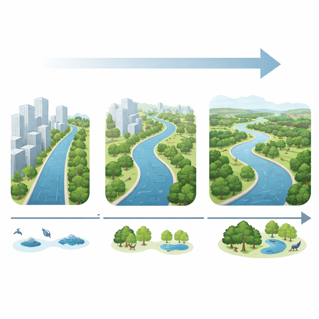
A changing river from countryside to city and back
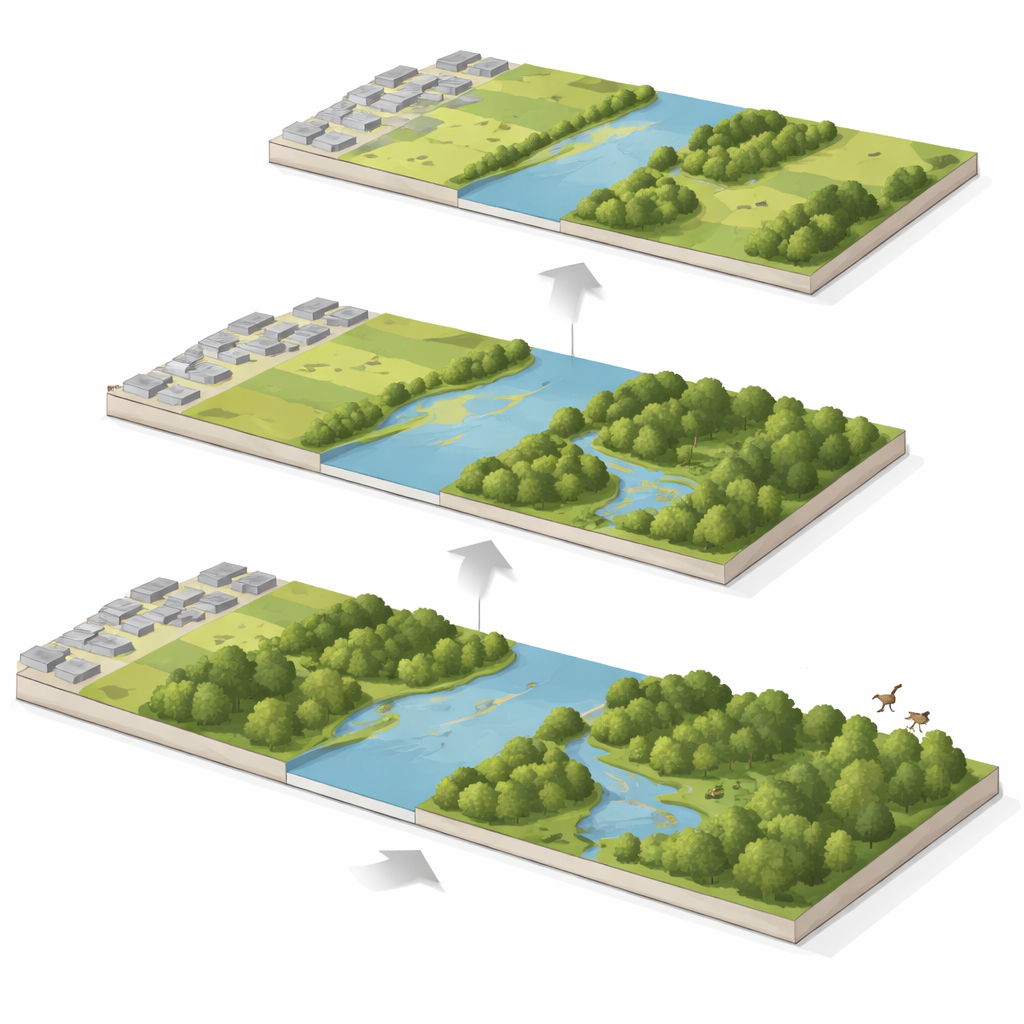
The North Canal River runs through a classic rural–city–rural sequence on the eastern side of Beijing. Upstream and downstream, farmland, grassland, and scattered woods dominate the floodplain, supporting services like water storage, soil protection, and wildlife habitat. In the middle reaches, however, dense buildings press close to the channel. Over three decades (1990–2020), the team tracked how land use changed within buffer strips of varying width along urban and rural sections, using satellite-based maps divided into cropland, forest, grassland, water, built-up land, and unused land. They then overlaid this with economic estimates of the benefits that each land type provides, from food production to recreation, to calculate an overall “ecosystem service value” for each corridor width.
How land around the river has been reshaped
The picture that emerges is one of strong contrast. Within urban reaches, cropland virtually vanished, dropping by about three quarters, while built-up land surged until the mid-2010s before slightly retreating as Beijing launched large ecological restoration projects. Water area in city sections nearly disappeared by 2010, then rebounded sharply by 2020 as new blue–green spaces were created. Grassland followed a V-shaped curve: shrinking for years, then expanding rapidly after restoration. In rural reaches, the changes were slower and less extreme. Cropland shrank by roughly one third, grassland showed an initial rise, a long decline, then partial recovery, and water surfaces remained relatively stable. Overall, rural river strips kept a more continuous mix of farmland, water, and semi-natural vegetation, while urban strips swung from hardscaped to partially re-greened in a short time.
From food and habitat to leisure and scenery
These land shifts translated into very different benefit profiles. In rural corridors, the river landscape initially excelled at producing food and supporting habitats and soil. Over time, some of that capacity declined as farmland and semi-natural areas were converted, but regulating functions—like moderating climate, holding back floods, and filtering pollutants—remained important. In contrast, urban corridors saw food and water production plummet as cropland and open water shrank. At the same time, cultural benefits tied to recreation and aesthetics boomed as riverfront parks, paths, and leisure facilities spread, especially from the 1990s to 2010. Habitat-related services inside the city stayed modest even after restoration, reflecting continued fragmentation and the dominance of buildings close to the water.
How wide is wide enough?
A key contribution of the study is to move beyond intuition and put numbers on how corridor width influences total benefits. For both city and countryside segments, making the corridor wider always increased the combined ecosystem service value—but with diminishing returns. Using a statistical technique called segmented (or breakpoint) regression, the authors found clear thresholds: in urban reaches, most of the gain is captured once the corridor is about 126 meters wide; beyond that, each extra meter adds relatively little. In rural reaches, the sweet spot is broader: benefits keep rising steeply until roughly 311 meters, after which further widening still helps but at a slower rate. These thresholds line up with what is known about how far key river processes—like overbank flooding, sediment deposition, and habitat formation—extend away from the channel.
What this means for cities and rivers
To a non-specialist, the message is clear: thin “token” green strips along rivers, especially in dense cities, are not enough to unlock the full package of benefits that healthy corridors can provide. This work suggests that, where possible, planners in built-up areas should aim for river green belts on the order of a hundred meters wide to capture most gains in cooling, recreation, and basic ecological function, even if more space is ideal. In rural zones, much wider corridors—on the order of a few hundred meters—are needed to sustain flood buffering, water regulation, and rich habitats. Rather than applying a uniform rule, the study offers a quantitative, service-based way to tailor river corridor widths to local conditions, helping cities like Beijing adapt to climate change while balancing development with the quiet but crucial work done by their riverside landscapes.
Citation: Zhu, L., Wei, Y., Zhao, J. et al. Segmented optimization for river ecological corridor width based on ecosystem services: a case study of the North Canal River, China. Sci Rep 16, 14524 (2026). https://doi.org/10.1038/s41598-026-43293-2
Keywords: river corridors, ecosystem services, urban planning, riparian buffers, climate resilience