Clear Sky Science · en
A multi-scenario identification of key ecological restoration areas integrating ecosystem service value and landscape risk in the northern Qinling foothills
Why these mountain foothills matter
The northern foothills of China’s Qinling Mountains may look like just another patchwork of farms, towns, and hills, but they quietly support drinking water, fertile soils, clean air, and wildlife for millions of people. As cities spread and fields expand, this living safety net is being stretched thin. The study behind this article asks a practical question: where, exactly, should limited restoration money and effort go so that nature’s benefits are protected while cities still grow? By blending satellite data, computer modeling, and risk mapping, the authors offer a roadmap for keeping this mountain–plain transition zone both livable and resilient.
Land caught between city and mountains
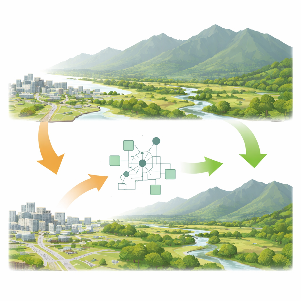
The research focuses on the Shaanxi portion of the Qinling foothills, where the country’s heartland cities press up against a major ecological barrier. Over the last three decades, farmland, forest, and grassland have steadily given way to construction land—buildings, roads, and other hard surfaces—especially around the city of Xi’an and along the Wei, Ba, and Hei rivers. This shift has chipped away at the area’s ability to store water, prevent floods and erosion, and regulate climate. At the same time, it has raised ecological risks such as habitat fragmentation, pollution, and greater vulnerability to extreme weather. The region is a textbook example of the tensions that arise in fast-urbanizing, environmentally sensitive zones.
Measuring nature’s help and nature’s danger
To understand these tensions, the team combined two big-picture measures. One is ecosystem service value, which puts a monetary-like figure on benefits from forests, grasslands, water bodies, and other land types—things like water regulation, soil protection, and local climate control. The other is a landscape ecological risk index, which captures how likely the landscape is to suffer serious ecological damage given its current pattern of land uses. Using land-use maps from 1990 to 2020, they found that the value of nature’s services first declined and then partially recovered, while overall risk slowly eased. Forest and grassland were the main sources of benefits, and water bodies punched above their weight by providing especially high-value services. Yet pockets of high risk persisted around central Xi’an and along major rivers, where construction land is dense and natural areas are fragmented.
Peering into possible futures
The study did not stop at the past. Using a land-use simulation tool called PLUS, the researchers projected how the foothills might look in 2030 under four different policy pathways. One assumes business-as-usual development with no extra rules. Another focuses on strict ecological protection, limiting the spread of construction land and promoting forest and grassland. A third locks in cropland to prioritize food security, and a fourth seeks a middle road between protection and growth. The simulations show that uncontrolled expansion erodes farmland and ecological land, while a food-first push risks sacrificing grassland and water bodies. By contrast, the ecological protection and balanced development scenarios do a better job of maintaining nature’s services while lowering ecological risk, leading to more compact cities and stronger green buffers.
Finding hotspots where help is most needed
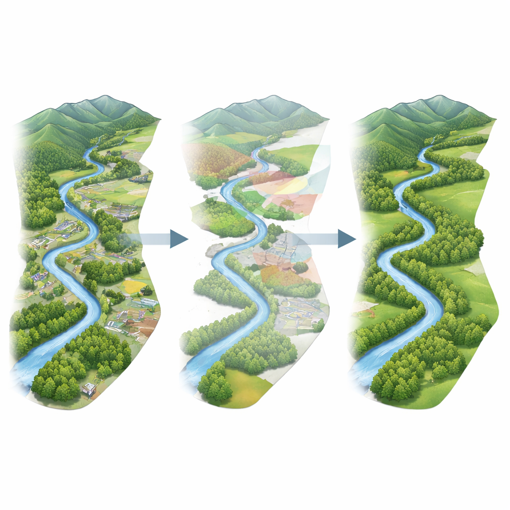
Crucially, the authors overlaid the maps of nature’s benefits and ecological risk to pinpoint areas that both do a lot for people and face serious pressure. These “high value–high risk” hotspots cluster along river corridors and their surrounding forests and grasslands—places that help regulate floods, store water, and support biodiversity, yet sit directly in the path of urban and agricultural expansion. Statistical tools showed that factors like temperature, elevation, economic activity, and population density jointly shape these patterns. In other words, the very areas that are most important for regional ecological security are also the ones most exposed to the impacts of climate change and human disturbance. The authors argue that these riverine and fringe zones should be first in line for restoration and protection.
What this means for people and policy
Put simply, the study finds that not all green spaces are equal. Some parts of the Qinling foothills quietly carry more of the load when it comes to clean water, fertile soil, and climate regulation—and those same places are under the greatest strain from city growth and land conversion. By jointly mapping nature’s value and ecological risk, and then testing different future development paths, the authors provide a science-based way to decide where restoration will do the most good. For residents and decision-makers, the message is clear: guiding growth toward more compact, carefully planned patterns and investing in river corridors and mountain–plain transition zones can secure vital ecosystem services while keeping risk in check, helping this key region develop without undermining the natural systems it depends on.
Citation: Ye, Y., Yu, K., Wang, Y. et al. A multi-scenario identification of key ecological restoration areas integrating ecosystem service value and landscape risk in the northern Qinling foothills. Sci Rep 16, 13186 (2026). https://doi.org/10.1038/s41598-026-43157-9
Keywords: ecosystem services, ecological restoration, land use change, urban expansion, Qinling Mountains