Clear Sky Science · en
Lake bathymetric reconstruction and water storage estimation method based on terrain feature similarity
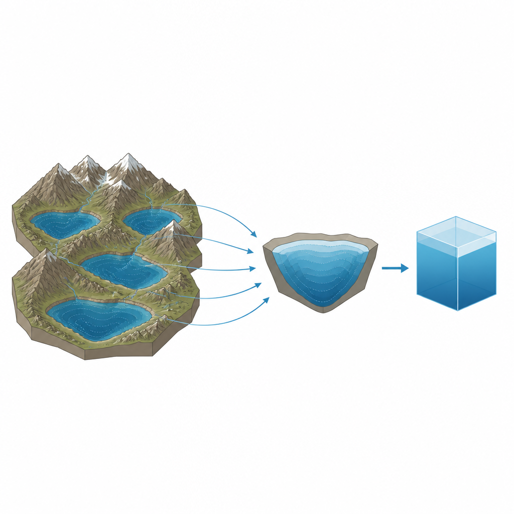
Why hidden lake floors matter
Lakes on the Qinghai–Tibet Plateau are shrinking or swelling as the climate warms, but for most of them we do not know how much water they actually hold. Measuring the shape of a lake floor directly is difficult and costly in this remote, high‑altitude region, so even basic figures like depth and storage are uncertain. This study presents a way to estimate the underwater shape and water volume of plateau lakes using only surrounding land terrain data, helping scientists track water resources and climate impacts where field surveys are rare.
Reading the landscape around the water
The authors build on a simple idea: a lake basin is usually a continuation of the landforms around it. Steep slopes and deep valleys on shore often hint at steep underwater sides, while gentle shores suggest broad, shallow floors. Instead of sending boats and sonar across every lake, the team uses digital elevation models of the land around the shoreline to infer what lies beneath the water. This approach is especially valuable on the Qinghai–Tibet Plateau, which hosts more than 1,400 lakes larger than 1 square kilometer but has depth measurements for only a small fraction of them.
Turning terrain data into a lake floor
The method starts by identifying where land stops and water begins in the elevation data, then defining a buffer zone of land around each lake that is scaled to the lake’s size. Within this ring, the model calculates how slopes change in several directions and picks key points where the terrain pattern shifts. From these points, it traces profiles toward the lake, fitting simple mathematical curves such as straight lines, parabolas, exponential shapes, or wave‑like forms to match the land slopes. By extending these fitted curves under the water surface, the model stepwise fills in an estimated three‑dimensional shape of the lake bottom, while also allowing for a layer of sediment that makes the measured water depth shallower than the underlying rock basin.
Capturing complex basins from many directions
Unlike earlier techniques that pushed a single profile inward from one direction, this model advances from multiple sides at once and lets information flow between neighboring directions. At each depth step it adjusts the supposed lowest point of the basin and re‑chooses the best curve shape, so steep shelves, gentle shoals, and curved basins can all be approximated. The authors validated their approach on nine lakes across the plateau, ranging from small, irregular basins to large deep lakes. For four lakes with detailed sonar profiles, the reconstructed depths matched observations reasonably well, with typical differences of a few meters and overall depth patterns captured especially well in the 5 to 50 meter range.

How well the method estimates water volume
To see whether these reconstructed lake floors give realistic water storage, the team compared their volume estimates with an independent dataset based on satellite altimetry for several large lakes. For Mapam Yumco, a deep lake with a fairly regular bowl shape, the volume estimate differed by less than 3 percent. Other lakes showed larger gaps, particularly Dongge Co’nag, where the basin appears to have multiple deep centers and more tangled underwater geometry. In general the model tends to underestimate water volume, because it smooths out sharp underwater ridges and pits and because small errors in the early depth steps accumulate as the algorithm marches toward deeper water.
What this means for tracking plateau water
For a non‑specialist reader, the key message is that we can make useful “best‑guess” maps of unseen lake floors using only satellite‑derived land heights around the shoreline. On the Qinghai–Tibet Plateau, where direct surveys are rare, this approach provides a practical way to estimate how much water is stored in many lakes and how that storage is changing with climate. The method works especially well for medium‑sized lakes with relatively simple shapes, and it highlights where extra data or refined models are needed for very small, very large, or structurally complex basins. As higher‑resolution terrain data and better correction techniques become available, this type of terrain‑based reconstruction can become a key tool for monitoring water resources and lake ecosystems in remote mountain regions.
Citation: Zhang, X., Qi, C., Xu, D. et al. Lake bathymetric reconstruction and water storage estimation method based on terrain feature similarity. Sci Rep 16, 15096 (2026). https://doi.org/10.1038/s41598-026-43121-7
Keywords: lake depth, Tibetan Plateau, water storage, digital elevation model, underwater topography