Clear Sky Science · en
Assessing the environmental costs of multi-scale recurrent neural networks for sustainable extreme rainfall nowcasting
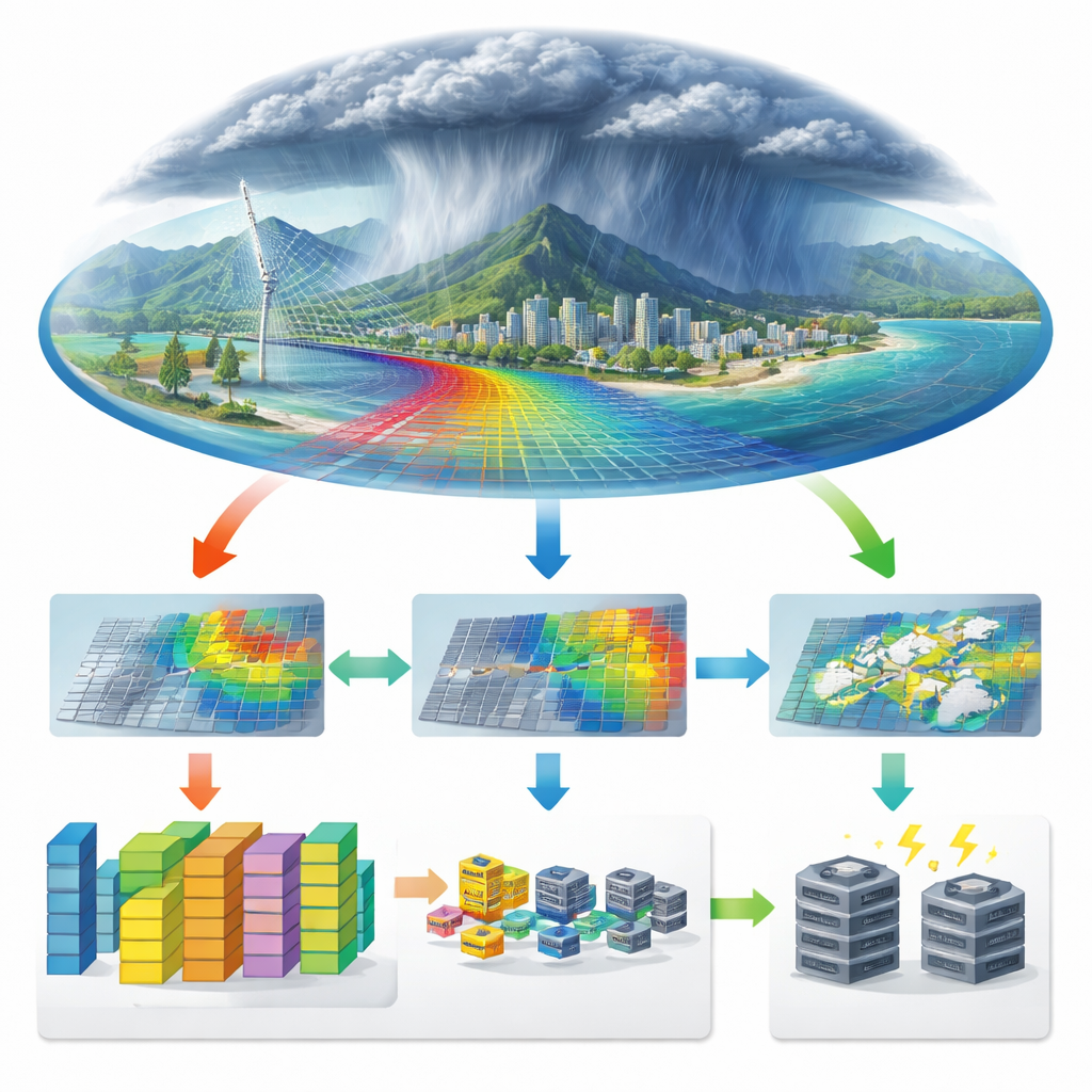
Why faster, greener rain forecasts matter
As cities around the world face more sudden downpours and floods, especially in places with limited resources, getting a few extra minutes of warning can save lives. But the computers behind state-of-the-art weather forecasts are power-hungry, expensive, and often out of reach for the regions that need them most. This paper asks a simple but pressing question: can we design artificial intelligence tools that predict dangerous rainfall while also being affordable and environmentally responsible?
From supercomputers to smart patterns in radar images
Today’s short-term rainfall forecasts, called “nowcasts,” are usually produced by large physics-based models that simulate the atmosphere in detail. These systems work well for many situations, but they struggle with very short lead times of one to two hours, exactly when people need clear guidance about an incoming cloudburst. They also demand massive supercomputing resources. By contrast, newer AI models learn directly from huge collections of weather radar images, treating the evolution of storms like frames in a video. Recurrent neural networks, which are designed to capture how patterns change over time, have already shown they can beat traditional models for near-term rainfall prediction.
The hidden cost of powerful AI
However, these AI systems bring their own problem: they can be extremely large, requiring lots of memory, electricity, and specialized graphics processors. That cost is more than financial. Training and running such models consumes energy that leads to carbon emissions and indirect water use at power plants. The regions hit hardest by extreme rainfall—such as tropical cities in the Global South—are often least able to afford this hardware, deepening an existing climate and technology gap. The authors found, through a review of past studies, that almost no one had actually measured these environmental impacts for rainfall nowcasting, even as models grew bigger and more complex.
A leaner way to read the skies
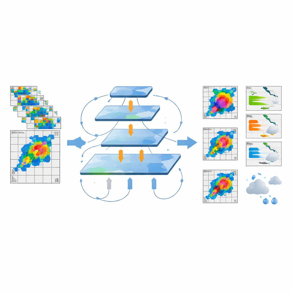
The study focuses on a technique called a multi-scale recurrent neural network framework, or MS-RNN, which reorganizes existing AI models so they process radar images at several resolutions at once. Instead of handling every detail at full size, the network repeatedly compresses and then reconstructs the images, allowing it to capture broad storm structures and fine features more efficiently. The researchers adapted three popular nowcasting models to use this multi-scale design and tested them on two real radar datasets: one from the Italian Alps and another from the highly complex terrain and urban landscape of Rio de Janeiro, Brazil. They tracked not only forecast accuracy, but also memory use, run time, electricity consumption, estimated carbon emissions, and associated water use.
What the experiments show about speed, accuracy, and footprint
On the Alps dataset, the multi-scale versions of the models dramatically cut their resource needs. Memory use dropped by roughly half, training time was cut by about half or more, and electricity consumption fell by up to about 70 percent. This translated into similar reductions in estimated carbon emissions and water consumption, with savings of more than 60 percent for some model variants. At the same time, forecast quality stayed the same or even improved slightly across standard error measures and a score that captures how well the models hit heavy-rain targets. In Rio de Janeiro, where the weather patterns and terrain are more challenging and the radar images smaller, the gains were more modest. The multi-scale models still used less energy and emitted less carbon, but their forecasts were slightly less accurate than the original versions—though the differences were small enough that the authors argue the trade-off is often worthwhile in resource-limited settings.
Limits and next steps for extreme downpours
Even with these improvements, all of the tested models still struggled with the rarest, most intense rainfall bursts. Special error scores that put extra weight on extreme events revealed that heavy downpours remain hard to predict reliably, partly because they are underrepresented in the training data. The authors point to newer approaches that combine AI with physical knowledge about storms or use advanced generative models to sharpen radar images, but note that these methods are usually even more computationally demanding—and almost never report their energy or water use. The study therefore calls for future work that designs models with efficiency in mind from the start and that routinely publishes environmental metrics alongside accuracy results.
What this means for people on the ground
In everyday terms, the paper shows that it is possible to build AI tools that give useful short-term rainfall warnings while consuming far less memory, power, and water than many current systems. For cities like Rio de Janeiro, where floods and landslides are frequent and budgets are tight, such “green AI” approaches could help bring advanced early-warning systems within reach, rather than reserving them for well-funded weather centers. The work does not solve the challenge of perfectly predicting the most extreme storms, but it charts a practical path toward forecast systems that are both more sustainable and more equitable.
Citation: Brum, D., Teylo, L., Silva, F.P.d. et al. Assessing the environmental costs of multi-scale recurrent neural networks for sustainable extreme rainfall nowcasting. Sci Rep 16, 12846 (2026). https://doi.org/10.1038/s41598-026-43029-2
Keywords: extreme rainfall, weather radar, deep learning, sustainable AI, nowcasting