Clear Sky Science · en
Nonlinear drivers and spatial heterogeneity of urban heat islands in lake-dense regions across ecological stress–structure–service interactions
Why Lakes Can Help Cool Our Growing Cities
As summers grow hotter, many cities are turning into heat traps that threaten health and comfort. In regions dotted with lakes and wetlands, water and greenery can act as powerful natural air conditioners—but only if they are not overwhelmed by concrete and traffic. This study looks at a large lake region in China to understand how human activity, land layout, and nature’s own services interact to shape urban heat, offering guidance on how to design cooler, more livable cities.
Where Water, Farmland, and Cities Collide
The research focuses on the Dongting Lake region in central China, a landscape crisscrossed by rivers and edged by forests, farms, and expanding cities. Using satellite data and detailed maps for 2023, the authors tracked land surface temperature as a measure of how hot different places become. They compared this with information on population, buildings, roads, vegetation, water bodies, and ecological functions like water storage and habitat quality. The goal was to see how patterns of stress from human activity, the structure of the land, and the benefits nature provides combine to create hot spots and cool refuges. 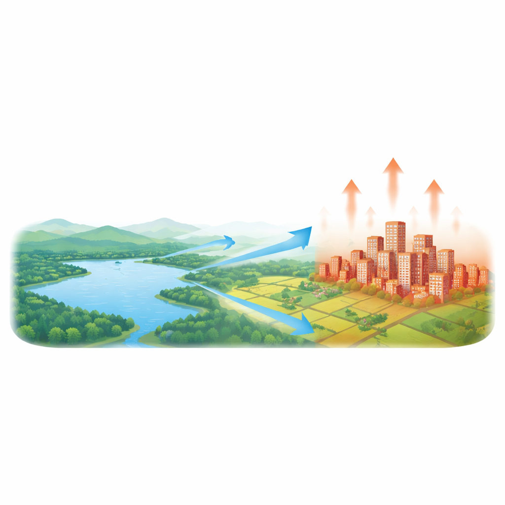
A Three-Part Lens on Urban Heat
To untangle these complex interactions, the study introduces a three-part view of ecological security. The first part, called stress, captures how strongly human activities press on the environment—through dense populations, busy roads, carbon emissions, and hardened surfaces. The second part, structure, looks at the physical arrangement of land: slopes, vegetation cover, water networks, and how well blue and green areas are connected. The third part, service, measures what ecosystems actually do for people and climate, such as moderating temperature, storing water, protecting soil, and supporting wildlife. Together, these three dimensions form a “stress–structure–service” chain that describes how heat is generated, spread, and then softened—or not—by nature.
From Hot Urban Cores to Cool Ecological Shields
By combining dozens of indicators, the authors sorted the region into five ecological security levels, from highly stressed to well protected. The resulting map revealed a clear pattern: the hottest conditions clustered in low-security zones where cities and transport corridors crowd the lake edges. Here, concrete, tall buildings, and intense human activity push temperatures up and make heat more variable from place to place. Around these hot cores lies a ring of mixed farmland and scattered ecological land that acts as a buffer, while the outer belt of forests, wetlands, and open water forms a relatively cool “safety shield.” Across this gradient, average surface temperatures dropped and became more stable as ecological security improved, confirming that healthier ecosystems help tame urban heat.
How Human Pressure and Nature’s Defenses Compete
To move beyond simple correlations, the study used advanced machine learning to explore how different factors influence heat in nonlinear ways. Overall, human pressure emerged as the strongest driver of warming, especially building height, building density, the share of built-up land, and economic concentration. Land structure played a double role: in some settings, more connected green space and certain rainfall patterns helped cool the surface, while in highly urbanized areas the same features sometimes coincided with added heat, for example where “green” areas were surrounded by dense construction. Ecosystem services generally pushed temperatures down—healthy habitats, good water regulation, and landscapes that support recreation and well-being were closely linked to cooler surfaces—but their effect was strongest in already secure, greener zones. 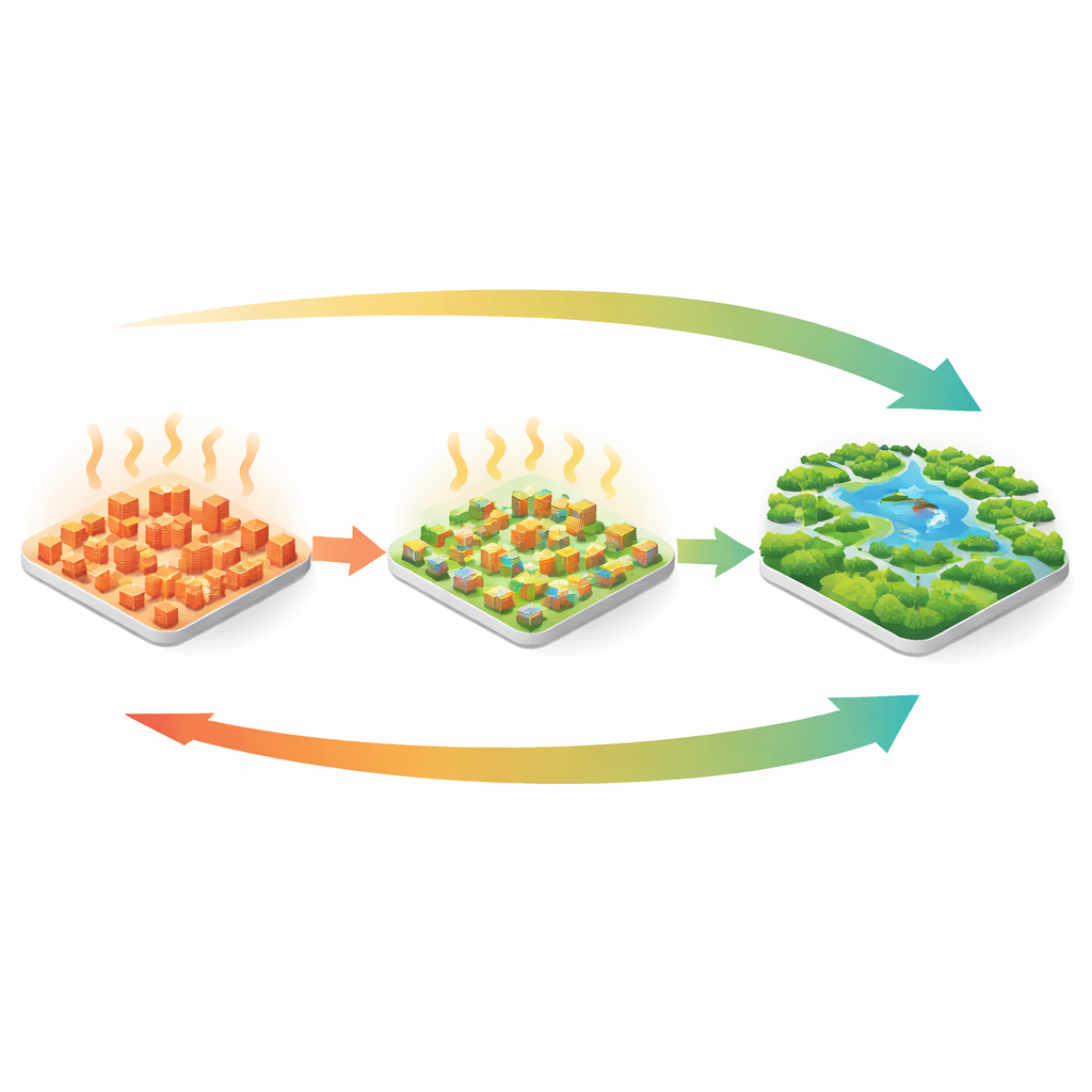
Designing Smarter Heat-Resilient Cities
Perhaps the most important finding is how the balance of power shifts along the ecological security gradient. In heavily stressed areas, human activity largely dictates the heat, and nature’s cooling capacity is overwhelmed. In middle zones, land layout begins to matter more, and careful design of blue–green corridors and ventilation paths can either amplify or ease heat. In the most secure zones, robust ecosystems take the lead, forming broad, self-regulating cool belts that protect nearby urban areas. For city planners and residents, the message is clear: keeping lakes, wetlands, forests, and connected green spaces intact is not just about scenery—it is a practical strategy for cutting heat risk. Reducing building intensity where stress is highest, improving the continuity of blue–green networks in transition areas, and safeguarding strong ecological buffers around cities together offer a pathway toward cooler, more climate-ready lake regions.
Citation: Xiong, S., Yang, F. & Fan, H. Nonlinear drivers and spatial heterogeneity of urban heat islands in lake-dense regions across ecological stress–structure–service interactions. Sci Rep 16, 10636 (2026). https://doi.org/10.1038/s41598-026-42976-0
Keywords: urban heat island, lake regions, ecological security, green and blue infrastructure, climate-adaptive planning