Clear Sky Science · en
Long-term remote sensing assessment of Natura 2000 protected areas in Poland (2004–2023)
Why these hidden landscapes matter
Across Europe, millions of people live within a short drive of a Natura 2000 site – a protected area meant to safeguard wildlife and natural habitats. But do these places actually hold their ground as the climate warms, droughts intensify, and land use keeps changing? This study uses nearly two decades of satellite data to take a national "health check" of Poland’s Natura 2000 Special Areas of Conservation, asking whether they behave differently from the surrounding countryside over time.
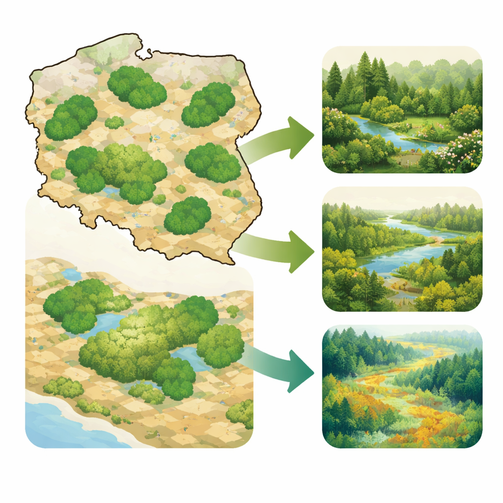
Looking at Poland from space
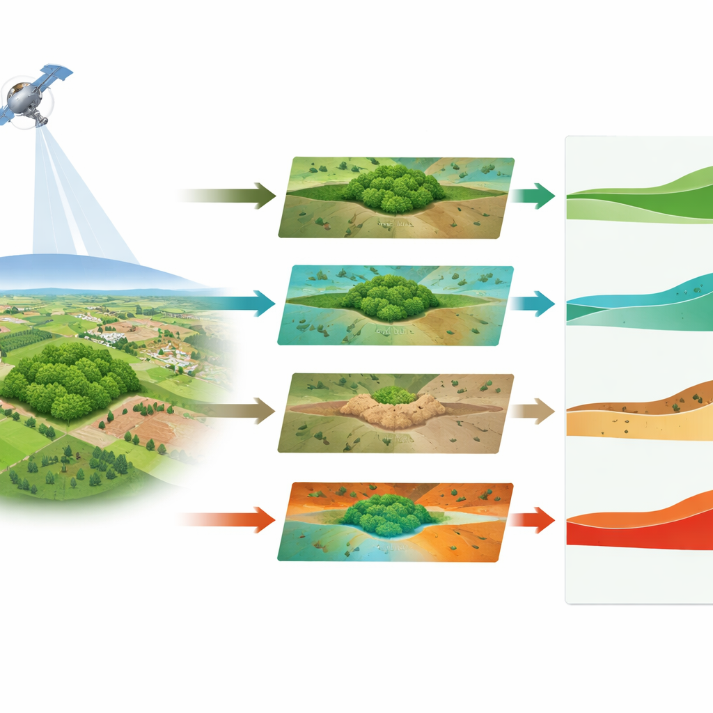
Instead of tracking individual species or small patches of habitat, the authors zoomed out to the landscape scale. They analyzed 330 large protected sites across Poland, together covering almost one fifth of the country, and compared them with the rest of the national territory. Using NASA’s Landsat 7 satellite, they built yearly maps (for 2004–2023) of four simple surface characteristics: how green the vegetation is, how moist the ground and plant cover appear, how much bare or hardened surface is exposed, and how warm the land surface becomes. These indicators do not directly measure biodiversity, but they provide a consistent, countrywide view of how ecosystems are changing – or staying the same – under shared weather and land-use pressures.
Greener, cooler and less exposed
The protected areas stood out right away. They were, on average, greener than the rest of Poland throughout the 20-year period, and they stayed that way. Vegetation greenness increased both inside and outside Natura 2000, reflecting a wider Central and Eastern European "greening" trend linked to a longer growing season and land-use shifts. However, greenness rose more slowly inside the protected network, and its year-to-year swings were smaller. This suggests that these sites already had high, stable plant cover and left less room for rapid change. Moisture-related signals also showed relatively steady behavior: while Poland experienced notable drought years, the protected sites tended to lose less moisture signal during these extremes than the wider landscape, hinting at more persistent wet or shaded conditions.
Slower change on the ground
One of the clearest differences emerged in the indicator linked to bare and hardened surfaces. Across the country, exposed soil and built-up signatures generally declined over time, consistent with expanding vegetation in many areas. Yet this decline was slightly stronger inside Natura 2000 sites, meaning that surfaces there became even less exposed relative to their surroundings. In practical terms, these places saw weaker signals of soil exposure or surface degradation than neighboring lands. Land surface temperature told a related story: although year-to-year variation was large and no clear long-term warming or cooling trend appeared in the satellite record, protected areas were consistently cooler at the surface than the national background, in line with their higher share of forests, wetlands and semi-natural grasslands.
Checking against nearby landscapes
Because protected sites are not randomly located – they tend to be placed where nature is already in good shape – the authors tested their conclusions against paired "ring" areas surrounding each site. These adjacent belts share similar regional climate and human pressures, but are not themselves protected. Even in this stricter comparison, the same broad pattern held: vegetation inside the sites greened up a bit more slowly, surface moisture behaved similarly but with slightly steadier trajectories, and the strongest contrast remained in surface exposure, which worsened more in the surrounding rings than inside the protected cores. Surface temperatures, by contrast, warmed or cooled at similar rates inside and outside, despite the consistently cooler absolute values in protected areas.
What this means for nature protection
To a lay reader, the takeaway is that Poland’s Natura 2000 reserves act as relatively stable islands in a changing landscape. They remain greener, show fewer signs of bare or degraded ground, stay a bit moister during drought years, and keep cooler surface conditions than the countryside around them. The study stops short of claiming that legal protection alone causes these patterns; many sites were already valuable and relatively undisturbed before they were formally designated. Still, by following hundreds of sites for twenty years from space, the research shows that the current Natura 2000 network is closely associated with persistent, steady environmental conditions. This kind of long-term, satellite-based monitoring offers a powerful complement to on-the-ground surveys, helping society track whether protected areas continue to function as anchors of ecological stability in an era of rapid climate and land-use change.
Citation: Mateusz, P., Sender, J. Long-term remote sensing assessment of Natura 2000 protected areas in Poland (2004–2023). Sci Rep 16, 12448 (2026). https://doi.org/10.1038/s41598-026-42863-8
Keywords: Natura 2000, remote sensing, protected areas, landscape stability, climate resilience