Clear Sky Science · en
Hydrodynamic and water quality simulation of Yangzonghai Lake, Southwest China, using the two-dimensional CE-QUAL-W2 model
Why this lake story matters
Many of the world’s lakes are quietly filling with excess nutrients from farms, towns, and industry. This process, known for turning clear water green and weedy, threatens drinking supplies, fisheries, and tourism. In southwest China, Yangzonghai Lake is one such vulnerable “plateau lake,” perched at high elevation and supplying water and livelihoods to nearby communities. This study uses a powerful computer model to understand how water moves through the lake, how pollution spreads and builds up, and how much we must cut pollution to restore the lake to a healthier state.

A long, narrow lake under pressure
Yangzonghai Lake stretches more than 12 kilometers but is only a few kilometers wide, making it behave like a long, narrow river-lake system. It sits high on the Yunnan Plateau, where thin air, strong sunlight, and cool water create different behavior from lowland lakes. The lake receives runoff from surrounding farmland, towns, and small industries, as well as several rivers that deliver nitrogen, phosphorus, and organic matter. These substances can fuel algae growth, cloud the water, and reduce oxygen, harming fish and other aquatic life. Authorities in China classify water quality into several classes, and Yangzonghai has struggled to meet the stricter Class II standard aimed at protecting drinking water and recreation.
Using a digital twin of the lake
To untangle this complex system, the researchers built a “digital twin” of Yangzonghai using a tool called CE-QUAL-W2, a two-dimensional computer model designed for long, stratified lakes and reservoirs. They divided the lake into thousands of small boxes along its length and depth and fed the model detailed records of river flows, rainfall, evaporation, water withdrawals, and local weather. They also entered measurements of key pollutants from 2016 to 2018. The model then calculated day by day how water levels changed, how temperatures layered from warm at the surface to cool at depth, and how nutrients and algae moved and reacted inside the lake.
What the model revealed about lake behavior
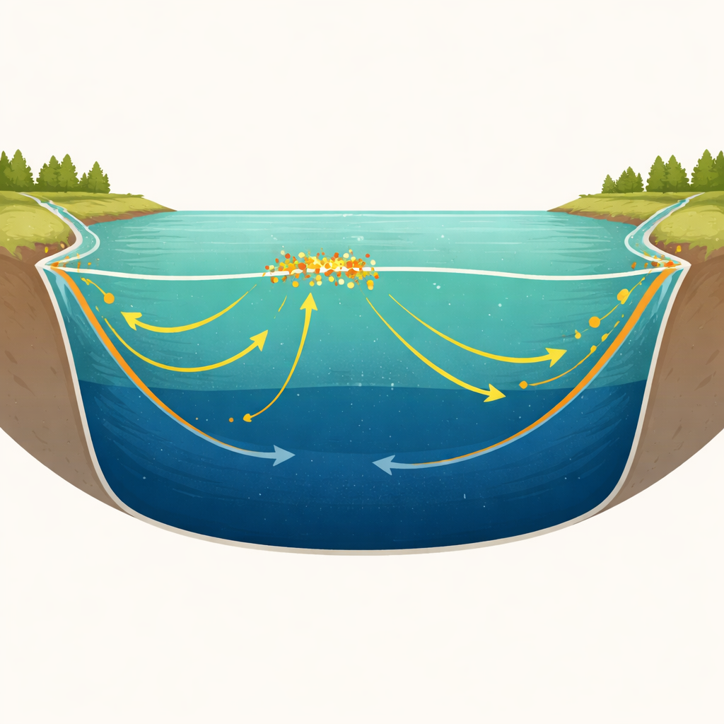
The simulated lake closely matched observed water levels and reasonably captured surface temperatures, including the seasonal pattern of strong layering in summer and full mixing in winter. During warm months, a sharp temperature boundary forms about 12–20 meters below the surface, acting like a lid that prevents deeper water from mixing upward. Under these stratified conditions, nitrogen, phosphorus, and organic matter pile up near the surface, especially near the main river inlets on the north and south shores. Algae flourish, as shown by rising chlorophyll-a levels, while water clarity drops. In contrast, the deeper water stays cooler and more stable, with limited direct exposure to the new pollution arriving from the watershed.
Tracing where the pollution comes from
By tracking flows from each river and shoreline area, the model showed that more than 70 percent of the nutrient and organic pollution entering Yangzonghai comes from external sources, dominated by two rivers that drain heavily farmed and developed land. Over the study period, total nitrogen, total phosphorus, and organic pollution indicators often exceeded the limits allowed even for the looser Class III standard, particularly during strong summer layering. Although the model did not explicitly simulate nutrient release from lake sediments, the pattern of high external loads and surface-layer buildup pointed to incoming rivers as the main culprits, with internal recycling playing a secondary but still important role.
How much cleanup is enough?
The team then used the model as a test bed for management options. They ran a series of “what if” scenarios that gradually cut external loads of nitrogen, phosphorus, and organic matter by 10 percent steps, asking how lake concentrations would respond. The results show that to meet average Class II standards, Yangzonghai needs annual reductions of about 43 percent in total nitrogen, 26 percent in total phosphorus, and 10 percent in organic pollution. To satisfy stricter high-percentile targets, the cuts must be even deeper—up to half the nitrogen and around a third of the phosphorus. The relationship is not linear: after a certain point, extra cuts produce smaller visible improvements because stored pollution and internal cycling keep feeding the system.
What this means for people and policy
For decision-makers, the study translates complex lake physics and chemistry into clear numeric targets. It shows that simply trimming fertilizer use or upgrading a few wastewater outlets will not be enough; sizable, sustained reductions from the whole watershed are required, combined with future efforts to better understand and curb nutrient release from lake sediments. At the same time, the work highlights the value and limits of modeling: CE-QUAL-W2 can reliably guide policy for long, narrow plateau lakes, but better data on weather, inflows, and lake-bed processes will sharpen its predictions. For communities that depend on Yangzonghai and similar lakes, these insights offer a realistic roadmap for restoring clearer water, healthier ecosystems, and safer supplies in the face of growing pressures.
Citation: Tang, C., Wang, J., Zhao, L. et al. Hydrodynamic and water quality simulation of Yangzonghai Lake, Southwest China, using the two-dimensional CE-QUAL-W2 model. Sci Rep 16, 12521 (2026). https://doi.org/10.1038/s41598-026-42817-0
Keywords: lake eutrophication, nutrient pollution, water quality modeling, plateau lakes, watershed management