Clear Sky Science · en
Comparing novel backward hydrological models for watershed-scale precipitation estimation: an evaluation of inverted PDM and Kirchner-hybrid structures
Why tracking hidden rain matters
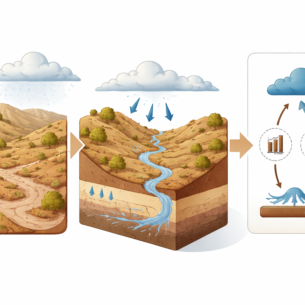
In many dry parts of the world, knowing how much rain actually reaches the ground can mean the difference between water security and crisis. Yet these are often the very places with the fewest weather stations and the trickiest atmospheres for satellites to read. This study explores a new way to “see” rainfall indirectly, by listening to how the land itself responds. Instead of watching storms from above, the authors use changes in soil wetness and streamflow to work backward and reconstruct how much rain must have fallen.
Rain you can’t measure directly
Traditional rainfall estimates mostly come from three sources: ground gauges, weather radar, and satellite products. Gauges give precise readings at specific points, but they are sparse or even absent in many arid and remote regions. Satellites and weather models offer global coverage, yet they struggle in semi-arid climates like the American Southwest. There, rain can evaporate before it hits the ground (a phenomenon known as “virga”), or arrive in short, intense bursts that satellites miss between overpasses. The result is that “top-down” products—those that infer rain from clouds and atmospheric signals—often show storms where little water actually reaches the soil, or miss the sudden downpours that drive flash floods.
Listening to the land instead of the sky
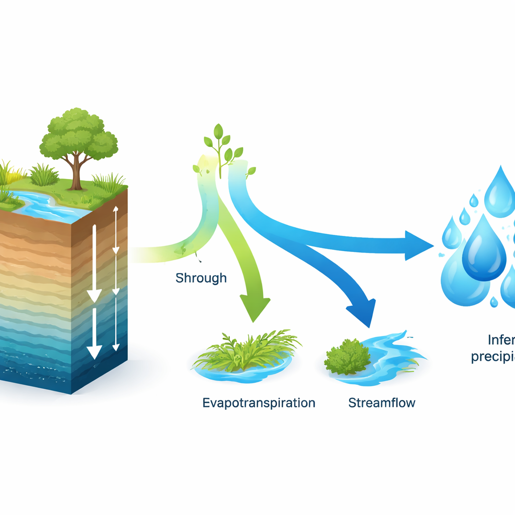
To tackle this problem, the study turns the usual logic of hydrology on its head. Rather than starting with rainfall and predicting how water moves through a catchment, “backward hydrology” starts from what we can observe on the ground—how wet the soil is and how streams rise and fall—and infers the rainfall that must have produced those changes. The authors test two new model structures that do this inversion: an “Inverted PDM,” which runs a classic rainfall–runoff model in reverse, and a “Kirchner-Hybrid” model that blends a soil moisture–based approach with a simple description of how streamflow recedes after storms. Both rely on the idea that the soil and channels remember rain, smoothing its noisy, short-lived pulses into more stable signals that can be mathematically unpacked.
Building a better picture from many data sources
The researchers apply these models to the Walnut Gulch Experimental Watershed in semi-arid Arizona—a demanding test bed famous for its intense summer thunderstorms, dry winters, and very “flashy” streams that flow briefly and lose much of their water into sandy beds. This watershed is unusually well instrumented, with dense networks of rain gauges, soil moisture sensors, and a long record of streamflow, which serve as a high-quality reference. To mimic data-scarce regions while still allowing rigorous checking, the team drives their backward models not just with local sensors but also with a merged soil moisture product created by combining several satellite and reanalysis datasets. A statistical method called modified collocation assigns more weight to the most reliable sources, producing a single, spatially consistent time series of soil wetness and evaporation for the models to use.
How the new models stack up
When the authors compare their reconstructed daily rainfall to the “true” basin-average rain from gauges, the backward models clearly outperform a suite of widely used global precipitation products. The Kirchner-Hybrid model driven by the merged soil moisture dataset delivers the best overall performance, followed closely by the standard SM2RAIN method and the new Inverted PDM. In practical terms, these approaches capture the total amount and day-to-day variability of rainfall more accurately than the best benchmark atmospheric product. Interestingly, models that relied directly on point soil moisture sensors tended to overfit and then perform worse when tested on unseen data, while those driven by the spatially merged soil moisture behaved more robustly. This suggests that, for catchment-scale applications, having regionally representative data is more important than having the most precise local measurement at a single spot.
Strengths, trade-offs, and limits
The backward models are especially good at getting the overall water balance right—they avoid the wet bias caused by virga and other atmospheric quirks, and they do not systematically over- or underestimate rainfall on average. However, they are more cautious when it comes to deciding whether it rained at all on a given day. Because they only “see” rain that actually changes soil moisture or produces streamflow, they tend to miss small, short-lived events that leave little trace in the ground data. In contrast, the best global products are better at flagging that a storm occurred, but they do so at the cost of more false alarms and larger volume errors. All methods, whether top-down or bottom-up, share a lingering weakness: they underestimate the most extreme cloudbursts, where very intense rain falls over a small part of the watershed.
What this means for managing water
For a lay reader, the key message is that it is now possible to reconstruct surprisingly accurate rainfall histories in dry, poorly instrumented regions by watching how the soil and streams respond, using globally available satellite and model data. The new inverted models developed here show that familiar hydrological tools can be run backward to estimate rain, and that carefully merged soil moisture products can even outperform dense ground networks for basin-scale questions. In practice, this means better estimates of how much water actually enters rivers, replenishes soils, and supports ecosystems—critical information for drought planning, reservoir operation, and long-term climate studies in regions where traditional rain measurements are scarce or unreliable.
Citation: Dastjerdi, P.A., Nasseri, M. Comparing novel backward hydrological models for watershed-scale precipitation estimation: an evaluation of inverted PDM and Kirchner-hybrid structures. Sci Rep 16, 14265 (2026). https://doi.org/10.1038/s41598-026-42647-0
Keywords: precipitation estimation, soil moisture, semi-arid hydrology, backward hydrology, satellite rainfall products