Clear Sky Science · en
Spatial heterogeneous relationship between environmental quality and human disturbances: a case study in Ili Valley, China
Why this valley matters to us
The Ili River Valley in northwest China is a mountain basin where farms, towns, and wild lands all press against each other. This study asks a question that concerns communities worldwide: how do growing human activities—roads, cities, and farmland—change the quality of the local environment, and why do those changes differ so much from place to place? By looking closely at this one valley using satellite data and spatial statistics, the researchers show that the link between people and nature is more nuanced than simple “more people, worse environment.” Their findings offer clues for how to grow economies while keeping landscapes healthy.
Taking the valley’s pulse from space
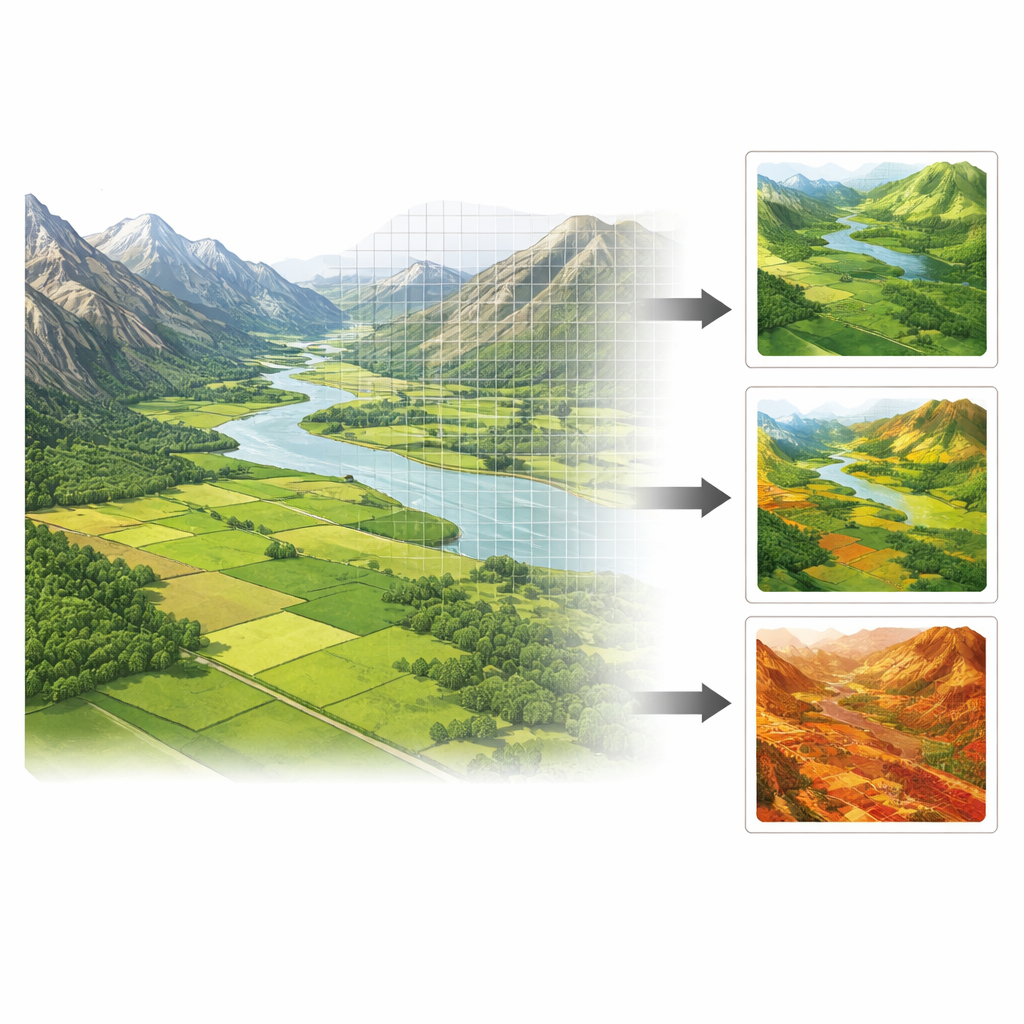
To track the valley’s environmental health, the team used a composite satellite-based measure called the Remote Sensing Ecological Index. Instead of focusing on a single sign of change, such as plant greenness or surface temperature, this index blends four pieces of information: how green the land is, how moist it is, how hot it gets, and how dry or built-up the surface has become. All these signals were extracted from Landsat images between 2009 and 2021 and combined on a one-kilometer grid, producing values from poor to excellent environmental quality. In parallel, the researchers built a human disturbance index that added up pressures from land use (cropland, grassland, paved surfaces), population density, night lights, and transport networks. Together, these two indices allowed them to map where the land is thriving or stressed, and how strongly it is being shaped by people.
Where the land is doing well—and where it is not
The Ili Valley turned out to be a patchwork. On average, its environmental quality hovered at a moderate level and improved overall from 2009 to 2018, before slipping slightly by 2021. The valley floor, with its extensive croplands and relatively mild climate, generally showed moderate to good conditions. Middle-elevation hills with dense grass and forest cover also scored well. By contrast, the high mountains flanking the valley, with their thin vegetation and bare rock, consistently showed fair to poor environmental quality. When the team looked at how these conditions were arranged in space, they found strong clustering: large “hot spots” of good quality in the eastern, greener parts of the valley and “cold spots” of poor quality in high, dry western and marginal areas. Over time, some cold spots shifted into hot spots, especially in the river corridor, suggesting local improvements but also instability.
How human pressure spreads across the land
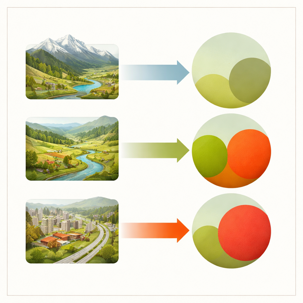
Human disturbance was anything but evenly spread. It was highest on the valley floor, especially around the city of Yining and along major roads and railways, and lowest at higher elevations where access is difficult. Disturbance rose markedly between 2009 and 2021 as population grew, towns expanded, and transport links multiplied. Using local spatial statistics, the authors identified four repeating patterns of how environmental quality and human pressure line up. Some areas had low disturbance and low quality, mainly harsh highlands where nature struggles regardless of human presence. Others showed low disturbance but high quality, often well-preserved mountain ecosystems. More surprisingly, many cropland belts around towns combined high disturbance with high environmental quality, thanks to irrigation and careful land management that keep vegetation lush in summer. The most worrisome zones were urban centers and transport corridors, where high disturbance coincided with low environmental quality.
Untangling cause and effect in space
Because neighboring areas often share similar conditions, the researchers used specialized spatial regression models that explicitly account for these geographic linkages. After comparing approaches, they found that a model focused on spatially structured errors best captured how environmental quality depends on nearby human disturbance. The results showed that the direction and strength of this dependence shift from one type of area to another. In cold spots and more mixed “random” zones, stronger human presence was actually associated with better environmental quality, likely reflecting investment in restoration, irrigation, or more careful land use in already fragile places. In hot spots, however, additional disturbance tended to erode environmental quality, even if the effect per year was modest, raising concerns about long-term, possibly irreversible damage.
What this means for future choices
For a lay reader, the key message is that people and nature in the Ili Valley are tightly intertwined, but not in a one-size-fits-all way. In some struggling landscapes, smart human action can lift environmental quality, while in already healthy areas, unchecked growth can slowly chip away at natural benefits. The study argues that managing land by “pattern” rather than by average—treating intensive farm belts, growing cities, wild mountain zones, and mixed-use regions differently—can better balance livelihoods and ecological health. By showing how satellite data and spatial models reveal these hidden patterns, the work offers a practical roadmap for planners who want to guide development without sacrificing the valley’s long-term environmental resilience.
Citation: Abulizi, A., Yu, T. & Yerkenhazi, A. Spatial heterogeneous relationship between environmental quality and human disturbances: a case study in Ili Valley, China. Sci Rep 16, 13215 (2026). https://doi.org/10.1038/s41598-026-42477-0
Keywords: environmental quality, human disturbance, remote sensing, spatial heterogeneity, Ili River Valley