Clear Sky Science · en
Optimization of ultra-low volume spray for multi-drone based on wind sensitivity
Smarter Spraying for Safer Cities
When city health departments spray for mosquitoes, they walk a tightrope: put enough pesticide where it is needed to stop disease, but avoid wasting chemicals, drifting over homes, or burning fuel with long drone flights. This study explores how a team of small drones can plan their routes in a wind-aware, intelligent way so that ultra-low-volume spraying in cities becomes more effective, safer for residents, and less energy-hungry.
Why Drones Are Changing Mosquito Control
Traditional mosquito control often relies on workers carrying backpack sprayers or trucks driving through neighborhoods. These methods can leave untreated patches, expose workers to chemicals, and make it hard to document exactly where spraying happened. Drones promise to change that. Multiple small aircraft can be sent out together, flying low and quietly over targeted areas, with their paths logged in detail. However, they must still obey strict public health rules: avoid sensitive locations, keep spray out of buffer zones, and work within narrow time windows when weather is suitable and people are indoors.
How Wind and Time Shape Where Spray Really Lands
Simply drawing straight “lawnmower” lines over a map is not enough, because droplets do not fall straight down. Wind stretches each spray cloud into a long oval, pushing more pesticide downwind and narrowing it across the wind. At the same time, the active ingredient breaks down under sunlight and heat, so its strength fades as minutes pass. The authors combine these effects into a single, simplified model that treats each spray puff as an elongated, wind-shaped blur that weakens over time. This allows them to score any flight plan on four practical measures at once: how much of the target area is covered above an effectiveness threshold, how evenly the dose is spread, how much drifts into no-spray buffer zones, and how much energy the drones spend flying.
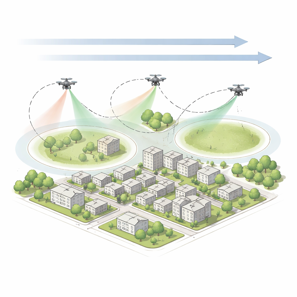
Teaching a Digital “Wolf Pack” to Plan Flight Routes
Designing coordinated routes for several drones under shifting wind is a complex puzzle with many possible answers and many ways to fail. Rather than solve it with exact equations, the researchers use a bio-inspired search method modeled on how a pack of gray wolves hunts. In this approach, a “pack” of candidate flight plans chases after better and better solutions over many iterations, guided by the best plans found so far. The team upgrades this method in several ways: they start from a more diverse set of initial routes by mirroring each random guess, they split the pack into cooperating sub-groups that each refine parts of the overall plan, and they periodically “shake up” the search if improvement stalls. This enhanced method, called C-GWO+, is tailored to explore different wind patterns efficiently while respecting no-spray zones, flight limits, and refueling needs.
What the Simulations Show in a City-Block Test
The authors test their system in a realistic urban scenario roughly the size of a small city block, with a steady breeze and three drones given a limited number of waypoints. They compare their optimized routes against a dense serpentine “lawnmower” pattern and against several other popular search algorithms. In repeated runs, C-GWO+ produces plans that treat more of the target area while keeping the dose more even and drift very low. Compared with a basic grey wolf method, it boosts coverage and uniformity and slightly reduces overspray, without increasing energy use. Against the lawnmower baseline, it cuts total flight distance by about 43% while avoiding the heavy overlaps and uneven dosing that the brute-force pattern creates. Other advanced algorithms, like particle swarm and sparrow-inspired searches, converge more slowly and get stuck more often in poor solutions.
From Single Flights to Real-World Campaigns
Although a single simulated mission covers only part of the block above the chosen effectiveness threshold, the authors argue that real mosquito control campaigns rely on repeated sorties. In that context, the method’s strength is not maximizing coverage in one pass but choosing the most valuable wind-aligned “spray corridors” first, with high uniformity and almost no drift into buffer zones. Because a full run of the planner takes around 15 seconds, it could be rerun between flights—or even during a mission—if new wind readings arrive. The study also outlines how the spray model and planning weights can be tuned for different situations, from cautious operations near sensitive areas to aggressive coverage during a disease outbreak, all while keeping overspray within strict limits.
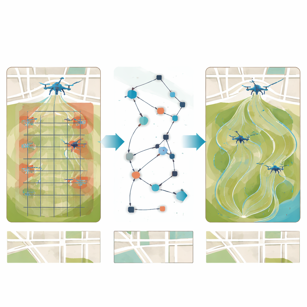
What This Means for Urban Health Protection
In plain terms, this work shows how to teach a swarm of drones to “read” the wind and plan their paths so that more of each droplet lands where it matters and less goes to waste. By knitting together wind-shaped spray footprints, chemical decay over time, safety buffers, and battery limits into one planning system, and by using a smart search strategy to explore many possible routes, the authors demonstrate a practical way to make aerial mosquito control both greener and more reliable. While real-world trials in changing winds are still needed, the approach offers a promising blueprint for safer, more traceable, and energy-efficient spraying in modern cities.
Citation: Zheng, D., Wang, B., Lin, Y. et al. Optimization of ultra-low volume spray for multi-drone based on wind sensitivity. Sci Rep 16, 12999 (2026). https://doi.org/10.1038/s41598-026-42125-7
Keywords: drone spraying, mosquito control, wind-aware path planning, optimization algorithm, urban public health