Clear Sky Science · en
From rural hollowing to smart shrinkage: zonal governance considering spatial non-stationary effects
Why Empty Villages Matter
Across the world, more people are leaving the countryside for the city. In places like rural China, this shift is not just a story of dreams and opportunity; it is also about villages dotted with empty houses, aging residents, and underused land. This article explores why some rural areas hollow out faster than others and how planners can turn inevitable population decline into a chance to reshape villages in smarter, more sustainable ways.
Seeing Rural Decline in a New Light
Rather than treat every emptying village as a problem to be reversed, the authors introduce the idea of "smart shrinkage"—accepting that fewer people will live in the countryside, and planning deliberately for a smaller, better-functioning rural world. They focus on Huai’an, a largely agricultural city in Jiangsu Province, eastern China, where rapid urbanization and strong nearby cities have drawn many villagers away. By studying more than 1,300 villages with detailed household surveys, maps, and statistics, the researchers measure hollowing in two main dimensions: how many households have all members living away, and how many houses stand vacant. Combined, these measures reveal where rural decline is mild, moderate, or severe.

How Place Shapes Who Stays and Who Leaves
The team frames each village as part of a “field” of forces. Villages differ in where they sit relative to cities and towns, in their natural surroundings, economic strength, social fabric, and daily living conditions. These differences create invisible pulls and pushes that make some places more attractive to live in than others. In Huai’an, villages closest to the city center tend to hold onto their residents, because people can commute to urban jobs while still living in the countryside. Farther out, beyond a practical commuting distance, villagers are more likely to buy homes near their workplaces, leaving their original houses empty. As a result, hollowing follows a ring-like pattern: low around the city and higher in outer belts, with especially severe depopulation in some outlying counties.
Teaching a Model to Read the Landscape
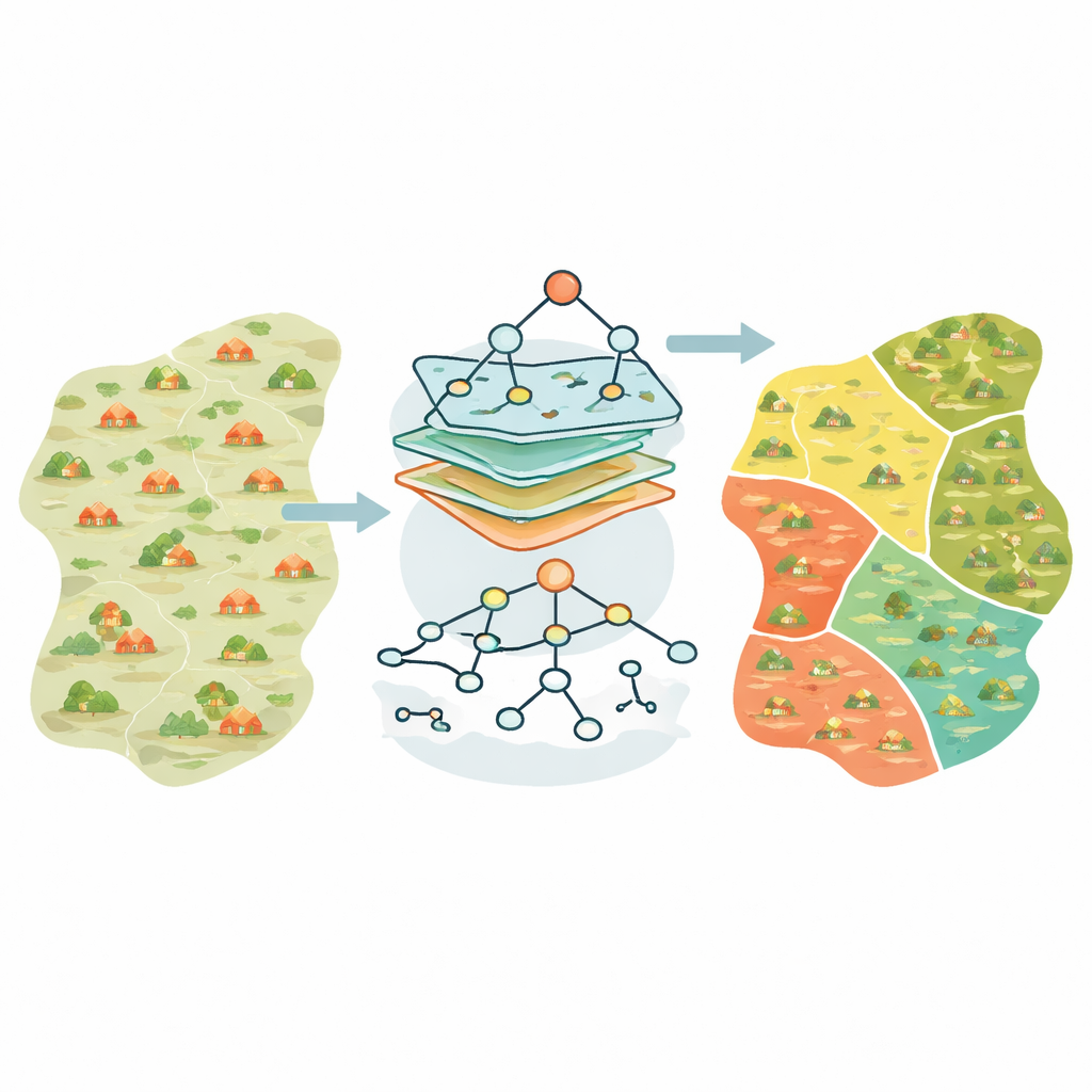
To uncover these patterns in detail, the researchers use a machine-learning method that combines a powerful prediction engine (XGBoost) with geography-aware weighting. This hybrid model, called GWXGBoost, allows the influence of each factor—such as distance to the city, density of shops, or share of multi-storey homes—to vary from place to place. A second tool, SHAP, helps explain exactly how each factor nudges a village toward more or less hollowing. The model outperforms standard statistical approaches: it predicts hollowing levels more accurately and, crucially, reveals that the same feature can help stabilize one village while deepening decline in another, depending on location.
Different Villages, Different Futures
By clustering villages with similar patterns of influence, the authors divide the region into six distinct zones. Inner suburban villages close to the city have relatively low hollowing and benefit from good access to jobs and services; here, the focus should be on supporting local industries and maintaining strong daily-life amenities. Outer suburban belts show much higher hollowing, but for different reasons: in some areas, many residents own homes elsewhere, while in others scattered settlements, poverty, or poor transport play larger roles. The study suggests tailored responses: improving roads and public services in remote shrinking areas, reusing or consolidating abandoned housing, and promoting modern agriculture and community-based tourism where local initiative is strong.
Turning Loss into a Plan
For non-specialists, the key message is that rural population loss is not automatically a sign of failure. In regions like Huai’an, downsizing is partly a natural byproduct of urban growth. The challenge is to plan for “less” in a way that protects quality of life, preserves land and landscapes, and strengthens the prospects of those who remain. This work shows that, by combining on-the-ground surveys with smart geographic modeling, governments can pinpoint what drives hollowing in each area and design zone-specific strategies. Smart shrinkage, in this sense, is about accepting fewer people but aiming for better homes, better connections, and better use of the countryside that remains.
Citation: Chen, C., Wang, C., Cao, L. et al. From rural hollowing to smart shrinkage: zonal governance considering spatial non-stationary effects. Sci Rep 16, 11913 (2026). https://doi.org/10.1038/s41598-026-41875-8
Keywords: rural depopulation, village hollowing, smart shrinkage, rural China, spatial machine learning