Clear Sky Science · en
Determination of the temporal-spatial pattern distribution and evolution of industrial heritage in Northeast China and its influencing factors
Why old factories still matter today
Across Northeast China, rusting smokestacks, abandoned rail yards, and aging workshops are more than leftovers from a bygone era. They are physical records of how modern China was built, how cities grew, and how people lived and worked through wars, revolutions, and reforms. This study looks at 635 such industrial sites and asks where they are, how they spread over time, and what forces shaped their rise and decline. By treating these places as clues on a giant regional map, the researchers show how natural resources, railroads, rivers, landforms, climate, and government policies together carved out the industrial landscape that still shapes life in the Northeast today.
Following a century of change
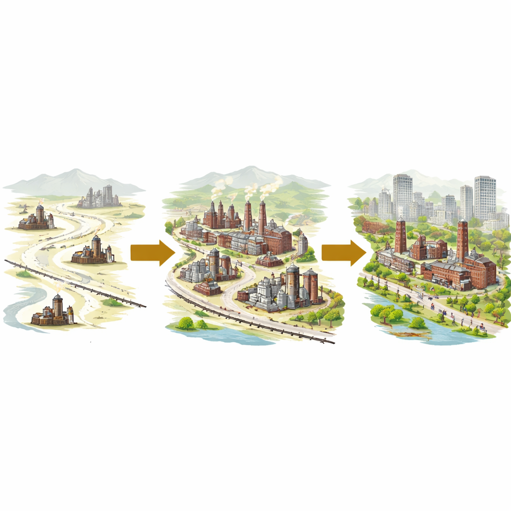
The authors divide the history of industrial development in Northeast China into five broad periods, beginning around 1900. In the colonial era, Russia and Japan built railways, mines, and military-linked factories to serve their own interests, leaving behind a distinctive mix of brick-and-wood workshops and reinforced-concrete plants with foreign architectural touches. After 1949, the new government turned the same region into the backbone of national heavy industry, pouring investment into steel, machinery, and automobiles with support from the Soviet Union. Later, during the Great Leap Forward and subsequent adjustments, huge oil fields, chemical complexes, and power plants appeared, followed by a turbulent phase of political upheaval and then by reform and opening, when some state factories upgraded while others declined or closed. By the late twentieth century, the basic pattern of what we now call “industrial heritage” in the Northeast was largely set.
From scattered workshops to crowded corridors
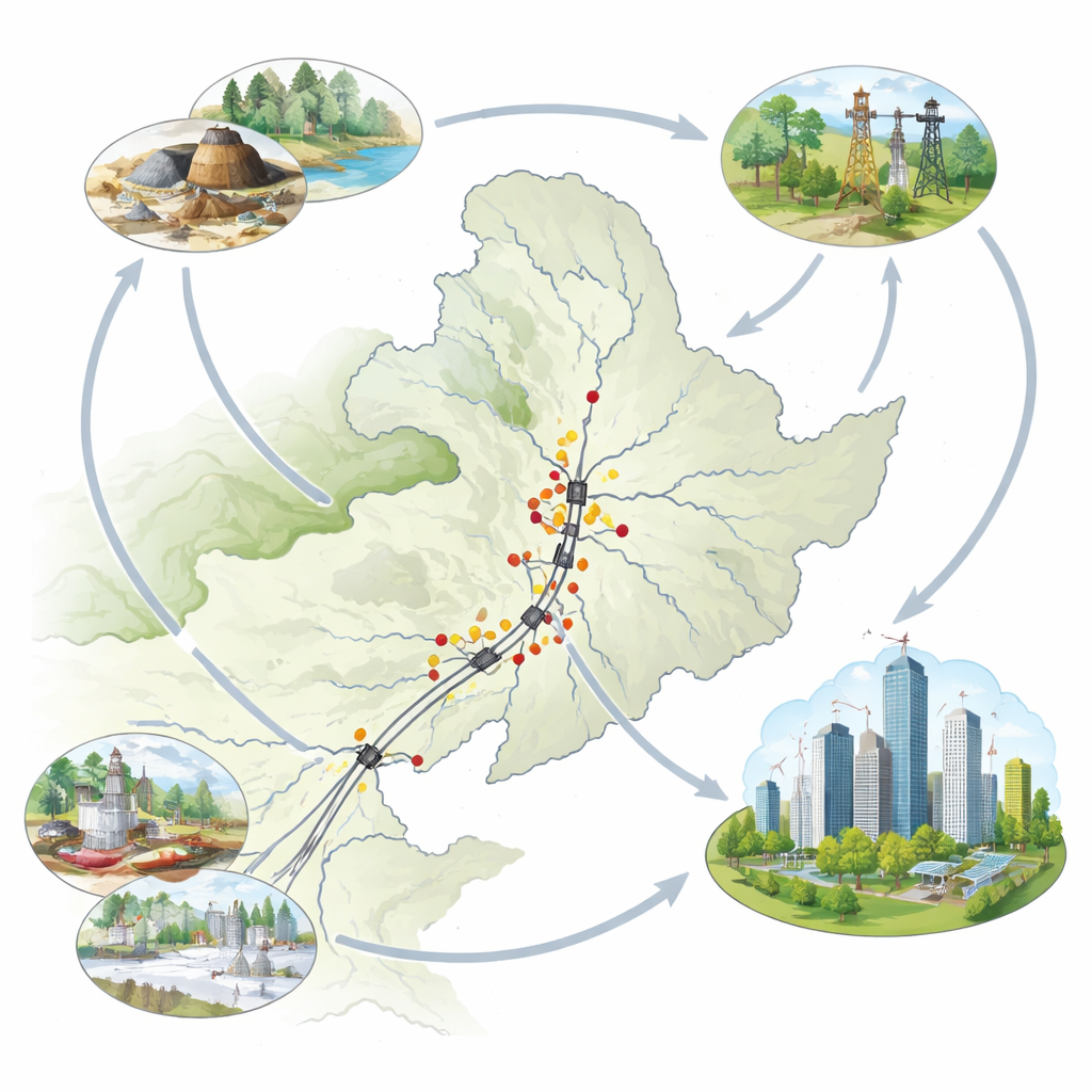
Using geographic information systems, the team mapped every site and measured how close they are to one another. Early on, industrial facilities were relatively scattered, reflecting experimental projects and limited transport links. As the decades passed, the sites became steadily more clustered. Most ended up lining key railway corridors or gathering around resource-rich zones such as major coal, iron, and oil deposits. The center of activity shifted in waves: first hugging rail lines, then swinging toward mining and energy frontiers, and later returning to transport axes as reforms encouraged more market-oriented growth. Over time, the middle of the region—home to strong administrative centers and better infrastructure—evolved from a relatively quiet zone into the main concentration of industrial sites, while the far north and south played a smaller supporting role.
Different provinces, different stories
The study shows that each part of Northeast China built its own industrial identity. Liaoning, with its ports on the Bohai Sea and rich iron ore, became the heartland of steelmaking and heavy machinery. Heilongjiang, endowed with vast coal seams and the famous Daqing Oilfield, is marked by mines, refineries, and transport hubs. Jilin, with fertile farmland and an automobile hub in Changchun, leans toward food processing, light industry, and vehicle production. Eastern Inner Mongolia, developed later, is dominated by energy and transport facilities stretching across open grasslands. These differences arise from a blend of geology and policy: where resources lay underground, where railways and rivers could be built, and how each era’s development plans favored certain sectors and cities over others.
Nature, climate, and policy as hidden architects
Beneath these visible patterns lie quieter forces. Mountains ring a broad central plain, steering factories toward flatter, river-fed land where large complexes and rail junctions are easier to build. Harsh winters and deep freezes pushed designers to favor compact, heated buildings, underground tunnels, and dense heating networks—features that helped some early structures survive surprisingly well. At the same time, policy decisions repeatedly redirected where investment flowed. Colonial rail concessions, the First Five-Year Plan, the spread of industry to inland areas, the restructuring of state firms, and today’s push to revitalize the Northeast all left their marks. The result is a layered landscape where colonial plants, socialist megafactories, and post-reform relics often sit side by side along the same transport routes and riverbanks.
Turning rust into a shared future
The authors argue that these old industrial sites are not just obstacles to redevelopment or raw material for commercial projects; they are essential witnesses to the making of modern China. Yet many have been lost to neglect, conflict, and short-sighted land deals, and those that remain face pressure from shrinking cities and rapid real-estate turnover. Drawing on their mapping results, the researchers call for smarter, region-wide strategies: recognizing and protecting key clusters, linking sites into heritage corridors that cross provincial borders, and using digital tools to document and interpret this history. In simple terms, the study shows that understanding where and why factories were built is the first step toward reusing them wisely—turning the industrial past of Northeast China into a cultural and economic resource for the decades ahead.
Citation: Ban, Y., Chen, J., Liu, C. et al. Determination of the temporal-spatial pattern distribution and evolution of industrial heritage in Northeast China and its influencing factors. Sci Rep 16, 13206 (2026). https://doi.org/10.1038/s41598-026-41854-z
Keywords: industrial heritage, Northeast China, urban revitalization, railway corridors, resource-based cities