Clear Sky Science · en
Geospatial assessment of habitat degradation and climate impacts on migratory crane habitat in Pakistan’s Wetland ecosystems
Why these wetlands and birds matter to us
Along Pakistan’s Indus River, thousands of cranes arrive each year after flying over the towering Himalayas. These striking birds depend on rivers, fields, and marshes that also sustain local farming and communities. This study asks a simple but urgent question: as towns grow and the climate warms, are we quietly squeezing these shared landscapes to the point where both cranes and people will suffer?
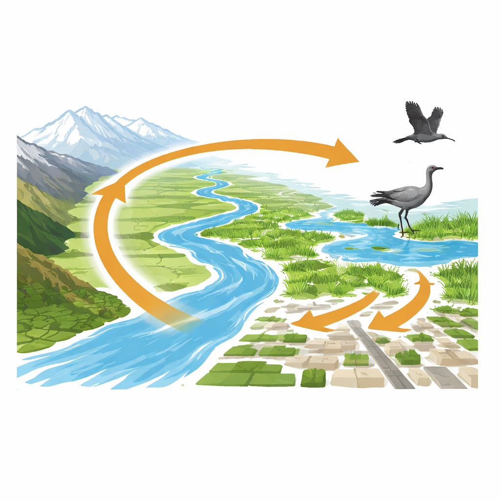
Watching the land change from space
The researchers focused on two districts in Khyber Pakhtunkhwa—Bannu and Lakki Marwat—which sit on a key migration corridor known as the Indus Flyway. Using three decades of satellite images, they mapped how the ground cover has shifted since 1994. Five broad types of land were tracked: open barren land, built-up areas such as towns and roads, croplands, tree cover, and water bodies like rivers and wetlands. By comparing maps from 1994, 2004, 2014, and 2024, they measured how much area each type gained or lost and where these changes occurred.
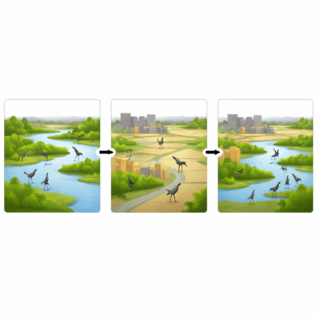
Growing towns, shrinking green spaces
The satellite record tells a clear story of human expansion. Built-up areas increased by about 22 percent of the total landscape, while tree-covered areas declined by just over 4 percent. Much of this growth came at the expense of once-open ground and patches of trees that had served as quiet resting and feeding areas for cranes. Some barren and farmed land also turned into settlements. Although croplands and water bodies grew slightly overall, they are now more fragmented—broken into smaller pieces by roads, houses, and other infrastructure. For long-distance travelers like cranes, this patchwork means fewer safe, continuous stretches where they can land, feed, and roost undisturbed.
Health of vegetation and water over time
To go beyond simple land categories, the team used well-established satellite indices that act as thermometers for plant life and surface water. A vegetation index revealed that greenery declined across the region into the early 2000s, signaling stress from drought, land clearing, and intensifying agriculture. After about 2013, this trend reversed: average vegetation values rose, aligning with major tree-planting campaigns in Pakistan, including the Billion Tree and Ten Billion Tree initiatives. Water-related indices showed that surface water around rivers and wetlands has fluctuated but generally improved in recent years, with more shallow water areas that are especially valuable for cranes to feed and rest. Climate records from 1984 to 2024 add another layer: temperatures have crept upward by nearly one degree Celsius, and monsoon rains have become slightly stronger and more variable, reshaping wetland extent from year to year.
Mapping crane corridors and pressure points
By combining land cover, vegetation, water, and climate data, the scientists highlighted the most important movement routes for Demoiselle and Eurasian cranes. A flow-style analysis of the landscape singled out the Kurram River and Lora Nala as critical corridors guiding birds from upland areas toward larger water bodies such as Baran Lake and the Indus River. Yet these same corridors are where towns and infrastructure have grown fastest, and where pollution and wetland encroachment are increasingly common. The result is a narrowing chain of suitable stopover sites: cranes are being funneled into fewer locations, where crowding, disturbance, and hunting can all have outsized effects.
What the findings mean for cranes and people
The study concludes that while tree planting and some water recovery have helped, unchecked urban growth and ongoing habitat fragmentation still pose serious risks for migratory cranes in Pakistan’s wetlands. In plain terms, the places cranes need to rest and feed are being chipped away and broken into smaller pieces, even as climate change makes their journey less predictable. The authors argue that the same satellite tools used in this research can help Pakistan identify priority wetlands and river stretches, steer new development away from these natural "service stations," and target restoration—such as re-wetting drained areas and reinforcing native vegetation—where it will matter most. Protecting these corridors would not only safeguard an ancient migration spectacle but also help maintain healthy rivers and wetlands that support local livelihoods.
Citation: Suliman, M., Hongxue, L., Khalid, F. et al. Geospatial assessment of habitat degradation and climate impacts on migratory crane habitat in Pakistan’s Wetland ecosystems. Sci Rep 16, 10536 (2026). https://doi.org/10.1038/s41598-026-41758-y
Keywords: migratory birds, wetlands, Pakistan, remote sensing, climate change