Clear Sky Science · en
Integrating optical and radar satellite data for conflict-related change detection in Ukraine
Seeing War’s Impact from Space
In eastern Ukraine, active fighting has made it too dangerous for experts to walk streets, inspect farms, or measure environmental damage on the ground. This study shows how freely available European satellites can fill that gap. By combining two kinds of satellite vision—one that sees color and texture, and another that senses surface roughness through clouds and darkness—the authors build an automated system that maps ruined buildings, abandoned fields, and changing vegetation over several years of war.
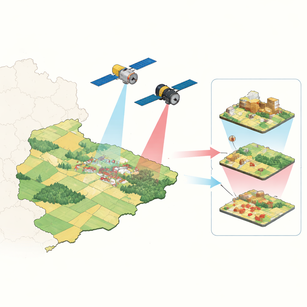
Two Kinds of Eyes in the Sky
The research focuses on part of Donetsk Oblast, including the hard‑hit city of Bakhmut. The team draws on two satellite families from the European Copernicus program. Sentinel‑2 provides optical images similar to photographs, revealing colors and land‑cover types such as crops, trees, water, and built‑up areas. Sentinel‑1 sends out radar pulses and records their echo, allowing it to see surface structure and moisture day or night, regardless of cloud cover or smoke. Together, these sensors create a continuous record of how towns, fields, and forests have changed from 2022 to 2025, even while battles raged on the ground.
Sorting the Landscape into Simple Categories
To understand change, the authors first teach computers to recognize what the land looked like before and during the war. They group each pixel into one of six easy‑to‑interpret classes: bare ground, built‑up area, crops, grass and scrub, trees, or water. Three different machine‑learning methods vote on the class of every pixel, and a follow‑up smoothing step fixes isolated mislabels that do not match their surroundings. This context‑aware correction respects the fact that some categories naturally sit next to each other, while others rarely do. When tested, this blended approach matches or exceeds the accuracy of a state‑of‑the‑art global product called AlphaEarth, especially for vegetation classes, while still relying only on open data.
Tracking Destruction in Cities and Silence in Fields
Once the landscape is mapped, the radar record is mined for signs of disruption. In cities and towns, the method combines two radar‑based tests: one that flags sudden, statistically significant shifts in radar brightness, and another that highlights strong, reliable changes across a time series. These radar change maps are overlaid on a detailed building footprint layer from Microsoft. If enough pixels within a building’s outline show damage, that building is marked as destroyed. In the Bakhmut area, this automated process estimates that about 64% of buildings larger than a small house were heavily damaged. When compared with high‑resolution damage maps from the United Nations’ UNOSAT service for another city, it correctly finds more than 80% of the destroyed buildings, despite working with much coarser imagery.
Revealing Hidden Shifts in Farmland and Nature
Outside cities, the radar tools are tuned differently. Here, the main challenge is to distinguish war‑related scars from normal seasonal cycles of planting and harvest. The authors combine several radar change detectors and restrict them to non‑urban areas, then compare these signals against the land‑cover maps year by year and season by season. The results are stark. In May 2022, cropland covered roughly one‑fifth of the study area; by 2025 it had shrunk to less than 2%, while grassland and young woodland spread. Seasonal radar analysis from 2019 to 2025 shows a collapse in the usual pattern of field work in 2022 and 2023, with only a partial recovery later. These patterns mirror official statistics reporting a dramatic fall in agricultural production in Donetsk Oblast, suggesting widespread abandonment of fields due to danger, mines, and displacement.
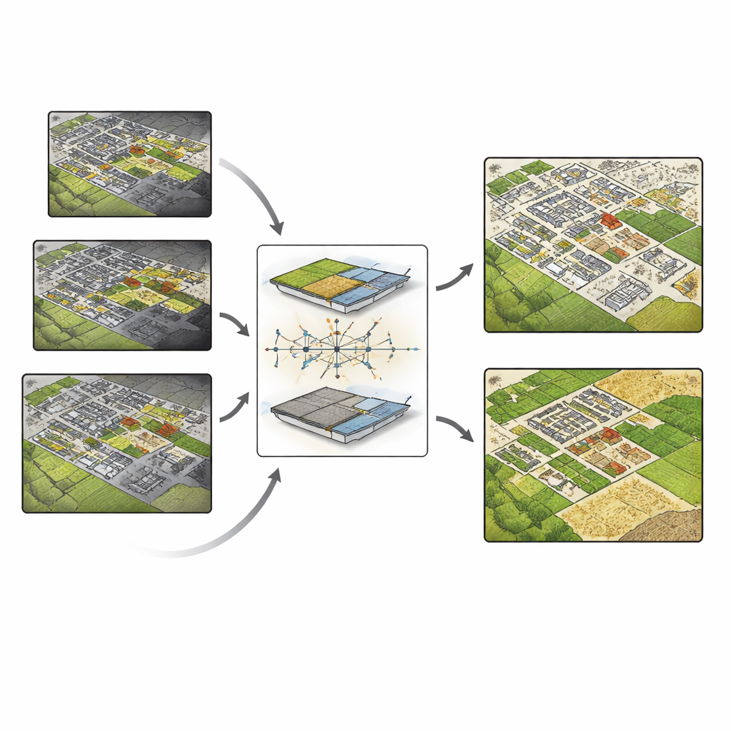
What This Means for Monitoring Wars
Overall, the study demonstrates that free, medium‑resolution satellites can do much more than provide dramatic before‑and‑after photos. With careful blending of optical and radar data, targeted algorithms for cities and countryside, and clever use of context, they can deliver consistent, large‑area estimates of building destruction and land‑use disruption. The authors’ approach outperforms existing global products for key land‑cover classes and aligns well with independent war‑damage assessments. This kind of automated, open‑source system could help governments, aid agencies, and researchers rapidly quantify damage, plan recovery, and track how war reshapes both human settlements and the surrounding environment—without putting people in harm’s way.
Citation: Karwowska, K., Slesinski, J., Sekrecka, A. et al. Integrating optical and radar satellite data for conflict-related change detection in Ukraine. Sci Rep 16, 12557 (2026). https://doi.org/10.1038/s41598-026-41424-3
Keywords: satellite conflict monitoring, Ukraine war damage, Sentinel radar and optical, land cover change, remote sensing methods