Clear Sky Science · en
Spatiotemporal imbalance of regional water shortage risk based on copulas and concentration index
Why this matters for everyday life
Clean, reliable water underpins drinking, farming, industry, and healthy ecosystems. In Central Yunnan, China, water has become so scarce and unevenly distributed that it threatens regional development and daily life. This study looks ahead to a massive new water transfer project and asks a simple but vital question: will it actually lower the risk of running short of water, and will those benefits be shared fairly across seasons and places?
A region caught between rain and drought
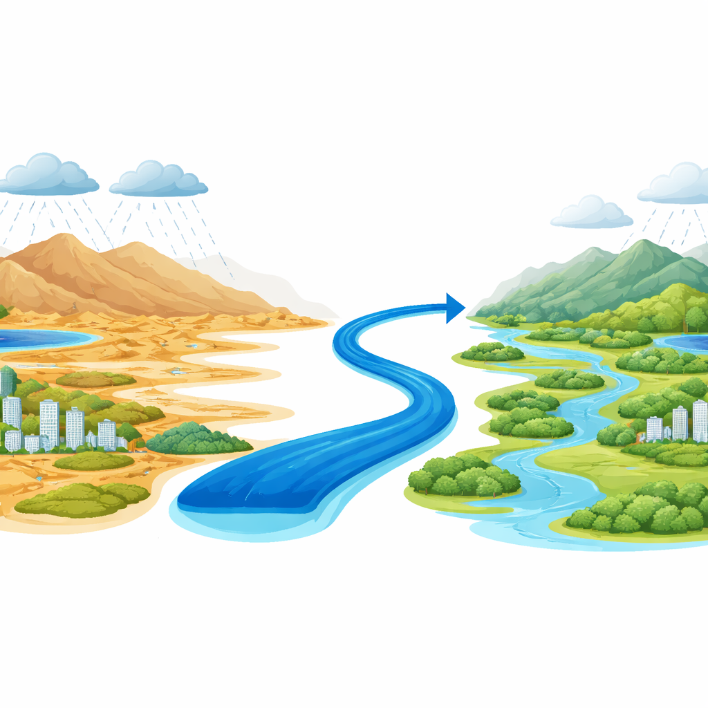
The research focuses on the Yuxi area in Central Yunnan, a mountainous plateau where monsoon rains arrive in a dramatic burst from summer to early autumn. Most of the year is dry, and rising temperatures plus decreasing rainfall are making droughts more frequent and severe. Local rivers depend almost entirely on rain, groundwater has been over-pumped and polluted, and more than half of the available water is already tapped. Agriculture uses the largest share and is highly sensitive to swings in rainfall, while cities and factories require steady supplies year-round. Against this backdrop, China is building the Central Yunnan Water Diversion Project, designed to pipe in billions of cubic meters of water each year from a distant river system.
A new way to measure water risk and unevenness
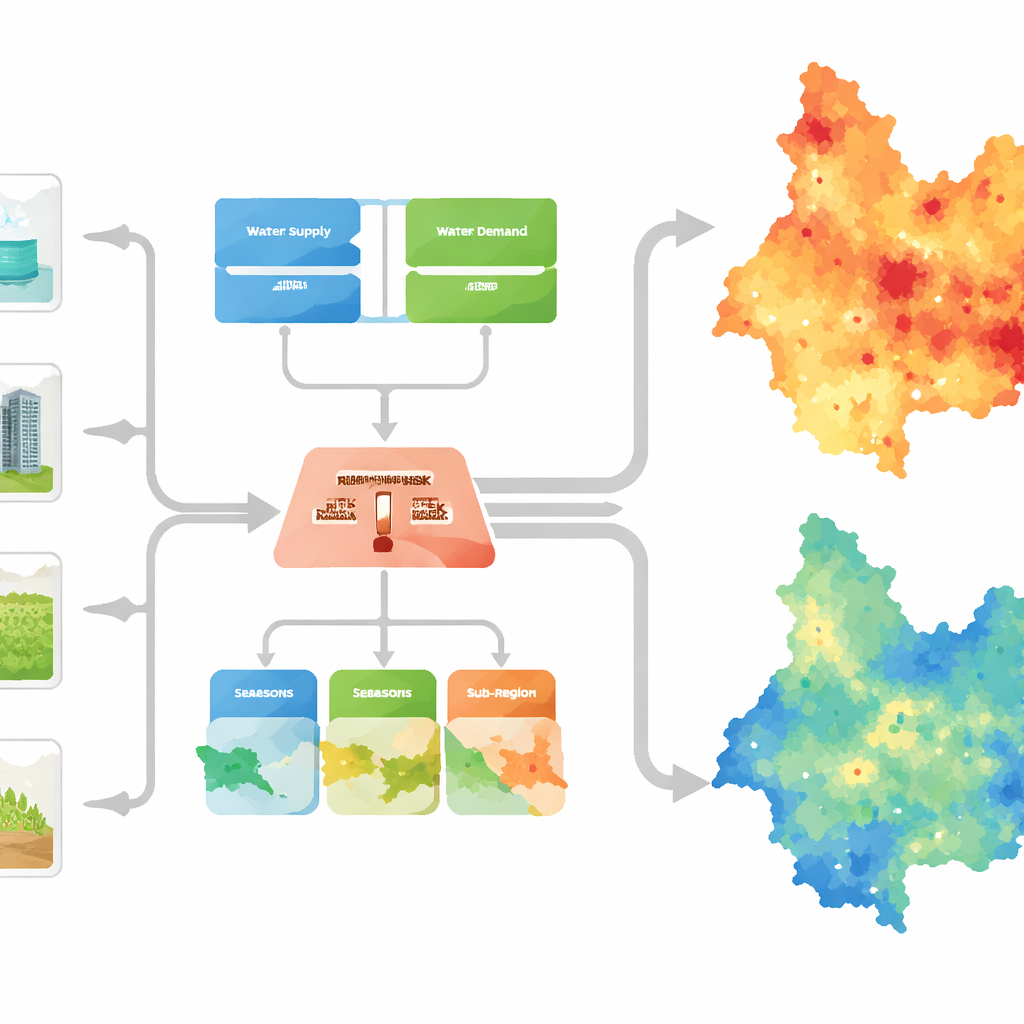
To judge how serious water shortages are, the authors treat risk as a blend of two ingredients: how likely a shortage is to happen, and how severe the consequences would be. They combine long records of monthly water supply and demand with advanced probability tools that can handle complex, irregular patterns rather than assuming tidy bell-shaped curves. Their framework accounts for four types of water use—domestic, industrial, agricultural, and ecological—and weights them by importance, putting people’s basic needs first while still counting impacts on crops and nature. To capture fairness, they adapt a simple inequality index related to the Gini coefficient, widely used in economics, to show how uneven water shortage risk is across both time (months and seasons) and space (13 small sub-regions within Yuxi).
What the past tells us about current risk
Using data from 1960 to 2011, the study reveals that Yuxi’s water shortage risk is strongly seasonal and closely tied to rainfall. Spring stands out as the most dangerous period, with around four out of five years falling into a medium-risk zone and many dry years pushing risk much higher. Years with lower rainfall show much greater swings between wet and dry months, and the overall trend over recent decades is toward rising risk. Spatially, some sub-regions benefit from better rainfall, more groundwater, or more reservoirs, while others regularly face much tighter supplies, creating a clear geographic imbalance in who bears the brunt of shortage.
Looking ahead to 2030 and 2040
Building on these historical patterns, the authors project water supply and demand for 2030 and 2040 under two futures: one without the new diversion project and one with it fully in place. Without extra water, the entire receiving area is expected to enter a high-risk zone by both dates, as population and economic activity grow and climate change further stresses local sources. With the diversion, however, the picture changes sharply. By 2030, imported water would cut the average shortage rate from about half of demand to roughly one-tenth, pulling overall risk down to a moderate level. By 2040, with even more transferred water, shortages could fall to just a few percent of demand and risk could drop into the low category across almost all sub-regions, especially in densely populated and industrial areas.
Who benefits and what remains uneven
The study also probes how evenly these improvements are shared. Today, spatial inequality in water shortage risk is pronounced, with some sub-areas far worse off than others. With the diversion, the imbalance index falls sharply, suggesting that by 2040 the region would see not only lower overall risk but also a much fairer distribution between places. In contrast, the pattern over the course of a year changes less. Even after the project, spring remains the most vulnerable season, and the index of month-to-month imbalance stays around the same level. This is largely because agriculture, which still depends heavily on rainfall, dominates total water demand, while the project mainly targets urban and industrial users.
What this means for people and policy
For residents, farmers, and planners in Central Yunnan, the findings carry a clear message: large-scale water transfers can dramatically reduce the chance and severity of regional shortages, and can help level the playing field between better- and worse-off areas. Yet they are not a silver bullet. Seasonal drought, especially spring dryness driven by the monsoon climate and thirsty crops, will remain a challenge. The authors argue that their framework offers a practical tool for designing smarter allocation rules, emergency plans, and long-term strategies that combine new infrastructure with careful demand management to keep taps flowing, fields productive, and ecosystems alive in a warming, more uncertain world.
Citation: Qian, T., Zhou, D., Yuan, Z. et al. Spatiotemporal imbalance of regional water shortage risk based on copulas and concentration index. Sci Rep 16, 10078 (2026). https://doi.org/10.1038/s41598-026-41016-1
Keywords: water scarcity, inter-basin water transfer, climate-related drought, risk assessment, Yunnan China