Clear Sky Science · en
InSAR analysis reveals insights into the Ms 6.2 earthquake rupture and tectonic dynamics of the northeast margin of the Qinghai‒Tibet plateau
Why this earthquake matters
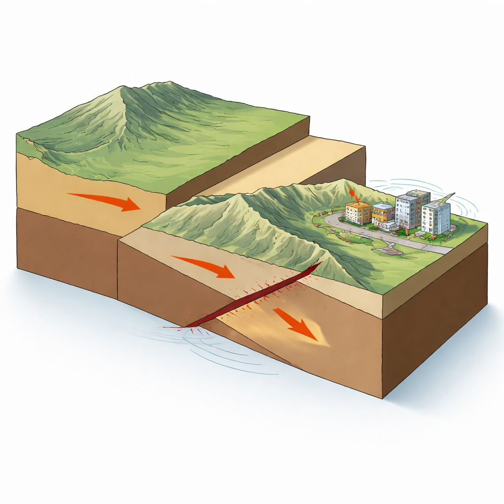
On a winter night in December 2023, a magnitude 6.2 earthquake struck Jishishan County on the northeastern edge of the Qinghai–Tibet Plateau in China, causing heavy losses in a region not used to such strong shaking. Beyond the human tragedy, this event offers a rare window into how one of Earth’s great mountain systems continues to grow and shift. By tracking tiny changes in the ground from space, the authors show how this single quake fits into the slow collision between the Indian Plate and Eurasia and what that means for future risk.
Watching the ground move from space
The study relies on a technique called InSAR, which compares pairs of radar images taken by satellites before and after an earthquake. By measuring how the returning radar signal changes, scientists can detect ground motions of just a few centimeters over wide areas. Here, the team used images from the European Sentinel‑1 satellites, looking at the region from two different directions as the spacecraft passed overhead. Careful processing—filtering out noise from the atmosphere, correcting for the satellites’ orbits, and unwrapping the repeating radar signal—produced detailed maps of how the surface rose or sank during the quake.
What the deformation patterns reveal
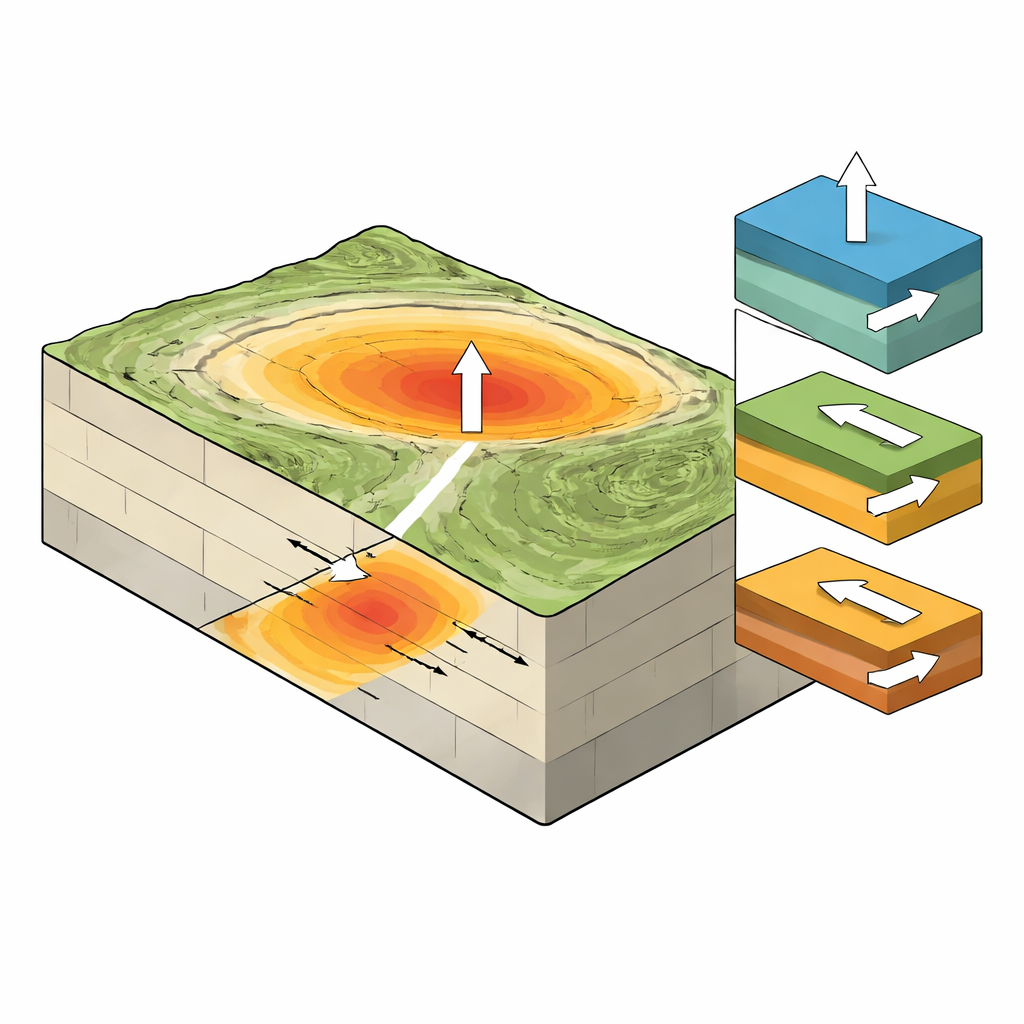
The resulting maps show an oval‑shaped zone of uplift and subsidence about 15 by 25 kilometers, squeezed between the northern and southern margin faults of the Lajishan mountains. Ground in the hardest‑hit area moved mainly upward toward the satellite, with no sharp step that would indicate a crack reaching the surface. A cross‑section through the deformation field shows a smooth, continuous curve rather than a sudden jump, confirming that the fault slipped at shallow depth but remained buried. The maximum vertical motion along the radar line of sight was on the order of several centimeters, yet this modest surface shift corresponds to tens of centimeters of slip at depth.
Reconstructing the hidden fault
To turn the surface pattern into a picture of what happened underground, the authors fit a mechanical model of a slipping fault to the InSAR data. They used a well‑known elastic model to describe how the crust would deform for different fault shapes and then adjusted the parameters until the simulated surface motion matched the satellite observations. The best‑fitting solution reveals a northwest‑striking fault plane dipping to the northeast at about 50 degrees. Most of the slip was concentrated in a patch roughly 15.6 kilometers long and less than a kilometer wide, at depths between the surface and 15 kilometers, with a maximum slip of about 0.7 meters. The motion was dominated by thrusting—one side of the fault pushing up and over the other—with a smaller right‑lateral component, meaning the blocks also slid past each other sideways.
A crowded neighborhood of moving blocks
Placing this event in its wider setting, the authors examined regional fault maps and aftershock locations. The Jishishan quake sits where several major structures meet: the Lajishan fault zone, the Western Qinling belt, and the deep valley of the Yellow River. The northeastern margin of the plateau is squeezed from the southwest by the advancing Indian Plate but blocked to the north and east by stiff crustal blocks beneath the Alashan and Ordos regions. The study suggests that, under this pinched regime, smaller crustal blocks between the big players rotate like books on a shelf. A probable right‑lateral “adjustment” fault near the junction of Lajishan, the Yellow River, and Jishishan appears to take up some of this twisting motion, helping to keep the main rupture from breaking the surface while still releasing built‑up strain.
What this means for future quakes
For non‑specialists, the key message is that the Jishishan earthquake was not an isolated jolt but part of a larger pattern of how the northeastern edge of the Tibetan Plateau continues to grow and widen. The event came from a shallow thrust fault that slipped by up to 70 centimeters just below the surface, focusing strong shaking where people live even though no obvious surface crack formed. By combining satellite measurements, fault modeling, and regional tectonics, the study shows that this margin of the plateau relieves stress through local block rotation and hidden thrusting. That insight improves our picture of how strain accumulates and is released at the front line of the Himalayan collision—and provides an important scientific basis for assessing the risk of future strong earthquakes in this densely populated region.
Citation: Sun, G., Guo, F., Guo, X. et al. InSAR analysis reveals insights into the Ms 6.2 earthquake rupture and tectonic dynamics of the northeast margin of the Qinghai‒Tibet plateau. Sci Rep 16, 9913 (2026). https://doi.org/10.1038/s41598-026-40753-7
Keywords: Jishishan earthquake, InSAR, thrust fault, Qinghai–Tibet Plateau, seismic hazard