Clear Sky Science · en
Spatio-temporal differentiation and obstacle diagnosis of coupling coordination of pseudo human settlements in China’s urban agglomerations
Why Our Online Lives Shape Our Cities
The way people in China search, chat, shop, and play online is no longer just a private habit—it is quietly reshaping how whole regions grow. This study looks at 19 major urban clusters across China and asks: how well do their digital "living spaces" keep pace with the real bricks‑and‑mortar cities where people actually live? By tracking years of Internet activity, the authors show where virtual life and real life are moving in step, where they are out of sync, and what is holding back more livable, smarter cities.

A New Kind of Living Space
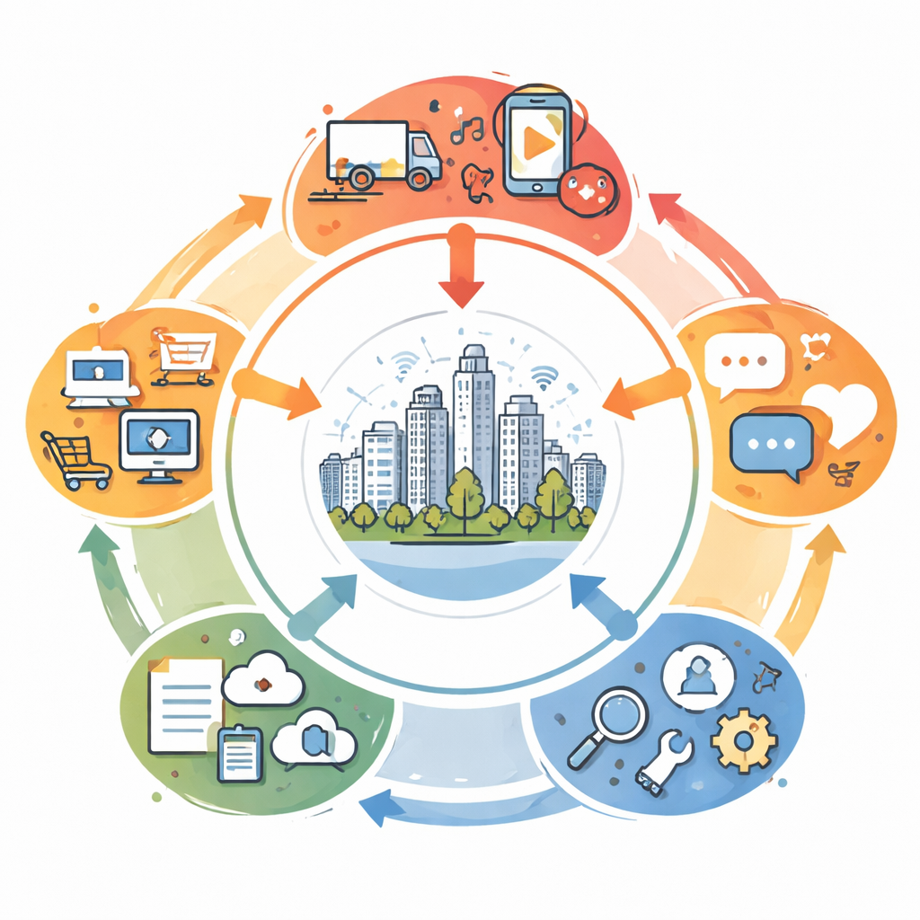
The authors introduce the idea of "pseudo human settlements"—the vast, invisible environments we inhabit through our phones and computers. These are the online places where we work, learn, socialize, shop, and seek entertainment. They mirror and extend our real neighborhoods but exist only as data flowing through networks. In China, where digital services are tightly woven into daily routines, these virtual spaces now act like a second layer over the country’s physical cities, influencing how people use time, money, and urban infrastructure.
Measuring the Fit Between Online and Offline
To see how well this digital layer lines up with real-world urban regions, the study focuses on 19 large urban agglomerations—clusters of cities that function together as single economic engines. Using search data from Baidu, China’s dominant search platform, the authors build an index that captures activity in five parts of online life: everyday living services, entertainment, social connections, information and knowledge, and practical tools such as maps and weather apps. They then apply a "coupling coordination" model to judge not only how strongly these digital subsystems are linked, but also how smoothly they grow together over time.
Uneven Growth Across the Map
The numbers tell a mixed story. On the one hand, the different parts of the digital environment are now tightly bound together almost everywhere—the systems strongly interact. On the other hand, the degree of balance among them remains modest, and many urban regions stay in various states of "disorder," meaning some digital functions lag behind others. Over 2011–2024, the country moved through three broad phases: first, disorder dominated; then early signs of better balance appeared; finally, coordinated types began to expand, though they are still a minority. Eastern coastal clusters such as the Yangtze River Delta and the Pearl River Delta lead the way, while western and some central regions remain behind, reinforcing a familiar pattern of "east high, west low" and a strong "core–periphery" divide.
Tracing Shifts Over Time and Space
By analyzing how coordination levels change year by year and where they are concentrated, the study shows that overall progress is not smooth. Coordination improved rapidly up to around 2015, then entered a period of ups and downs and gradual stabilization. Spatial analysis reveals that the "center of gravity" of better coordinated digital environments has been drifting southward, following growth in both eastern coastal cores and some southwestern regions that benefit from new infrastructure and development programs. Some urban clusters remain stubbornly stuck at low coordination levels, while others jump between categories, signaling a more dynamic and experimental digital transformation.
What Is Holding Cities Back
To move from scattered improvements to broadly livable smart regions, the authors dig into which parts of the digital environment act as bottlenecks. They find that two dimensions—basic living services and practical tools—consistently pose the biggest obstacles. That includes things like weather apps, navigation, online real‑estate platforms, reading platforms, and cloud storage. In richer coastal regions, the challenge is often high demand straining available services; in less developed areas, the problem is thin infrastructure and limited supply. Specific applications that many people rely on become telling markers of these gaps, revealing where information is unreliable, services are uneven, or platforms do not yet match users’ expectations.
Building Fairer, Smarter Urban Futures
For non‑specialists, the key message is that digital and physical city building cannot be separated. The study argues that better coordination of policies across regions, targeted investment in lagging urban clusters, and careful tuning of digital platforms can help close the gap between where people live and how they live online. By strengthening everyday digital services and tools—especially in housing, transport, weather, and cloud-based information sharing—China’s urban regions can move from today’s patchwork of strong and weak spots toward more balanced, people‑centered development. In simple terms, when our online "settlements" are planned as carefully as our streets and buildings, cities are more likely to become truly smart, livable places for everyone.
Citation: Tian, S., Wang, J., Wang, J. et al. Spatio-temporal differentiation and obstacle diagnosis of coupling coordination of pseudo human settlements in China’s urban agglomerations. Sci Rep 16, 10354 (2026). https://doi.org/10.1038/s41598-026-40731-z
Keywords: digital urbanization, urban agglomerations, smart cities, China internet data, virtual human settlements