Clear Sky Science · en
Spatial, temporal, and spatiotemporal variations of chronic respiratory disease in charcoal-producing areas, northwest Ethiopia
Smoke, Maps, and Hidden Health Patterns
Many families in northwest Ethiopia rely on charcoal, both as a source of income and as fuel for cooking. But the same smoky fires that drive local economies may also be quietly damaging people’s lungs. This study asks a simple question with big implications: where and when are chronic breathing illnesses most common in charcoal-producing areas, and do these cases cluster in particular places and years rather than appearing at random?
Following Illness Across Place and Time
The researchers focused on three neighboring zones in the Amhara region—Awi, East Gojjam, and West Gojjam—known for intensive charcoal production. They examined seven years of health records, from mid-2012 to mid-2019, for adults aged 15 and older who were diagnosed with chronic respiratory diseases such as asthma and chronic obstructive pulmonary disease. These conditions can cause long-lasting cough, wheezing, and shortness of breath that interfere with daily life and can become life-threatening. By combining routine health data with digital maps and specialized statistical software, the team set out to see whether certain districts consistently stood out as hot spots for lung disease.
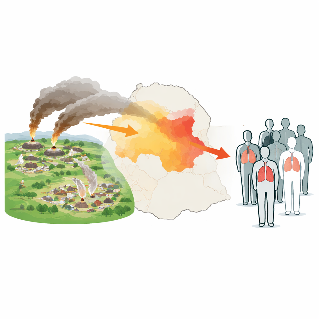
Turning Health Records into Risk Maps
To uncover patterns, the scientists used tools that look for clustering in space and time. In simple terms, these methods compare how many cases appear in each district and year with how many would be expected if the disease were spread evenly across the region. If some areas have far more cases than expected, they are flagged as clusters. The team drew on geographic information systems to plot districts, then applied scan statistics and related tests to determine whether the observed patterns were truly unusual or just random noise. Because the data came from routine reporting, the researchers also took steps to clean and cross-check the records to reduce errors and misclassification.
Hot Spots Around Charcoal Hubs
The results revealed that chronic respiratory disease in this part of Ethiopia is far from randomly scattered. Overall, about 4,600 cases occurred per 100,000 people over the seven-year period, but the burden varied sharply from place to place. The Awi zone showed the highest overall rates, and one town in Awi reported an annual rate above 7,000 cases per 100,000 people in the final year of the study. When the team examined spatial patterns, they found a strong tendency for neighboring districts with high rates to cluster together. The most prominent cluster covered eleven districts—mostly in Awi, with several in West Gojjam—where residents were more than four times as likely to be reported with chronic respiratory disease as people living outside this area. Hot spot analyses also highlighted the northwest and southwest parts of the study region, which overlap with areas known to produce large volumes of charcoal.
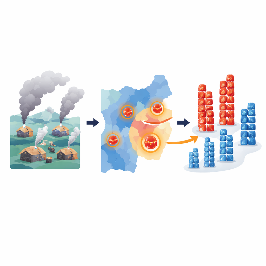
When Breathing Problems Surged
Time mattered as well as place. The disease burden rose over the seven-year period, with the annual rate increasing by nearly 140 percent. A purely time-based analysis pointed to a particularly intense peak from 2018 to 2019, when tens of thousands more cases occurred than would have been expected from earlier years. Space–time analysis, which looks at location and year together, showed that this late surge was concentrated in many of the same high-risk districts already identified in Awi and West Gojjam, as well as in specific towns in East Gojjam. In some of these locations, risk levels were many times higher than in the rest of the region.
What This Means for Communities
For people living and working in charcoal-producing districts, these findings suggest that breathing problems are not just a matter of individual fate; they are heavily shaped by where you live and when you are exposed. The study cannot prove that charcoal smoke alone is to blame, and it could not account for all personal risk factors, such as smoking or indoor air quality. Still, the clear and repeated clustering of chronic respiratory disease around known charcoal hubs signals that these communities should be priority areas for prevention. Targeted actions—such as cleaner cooking technologies, safer charcoal production methods, and better access to diagnosis and care—could help reduce the burden of long-term lung disease for those most exposed to smoke.
Citation: Gebeyehu, M.T., Begosew, A.M., Teni, M. et al. Spatial, temporal, and spatiotemporal variations of chronic respiratory disease in charcoal-producing areas, northwest Ethiopia. Sci Rep 16, 13041 (2026). https://doi.org/10.1038/s41598-026-40554-y
Keywords: chronic respiratory disease, charcoal production, air pollution, spatial clustering, Ethiopia