Clear Sky Science · en
Research on the early warning indicator system for red tide disasters in the nearshore sea area in Qinhuangdao
Why seaside color changes matter
Beachgoers in northern China have increasingly seen stretches of coastal water turn an eerie rust-red or brown. These “red tides,” caused by explosive growth of microscopic algae, can kill fish, damage tourism, and threaten human health. The new study focuses on the busy nearshore waters of Haigang District in Qinhuangdao, asking a practical question: can we spot the warning signs of a red tide early enough to react? By combining smart buoys at sea with satellite observations from space, the researchers set out to identify which changes in water quality best signal that a harmful bloom is about to form.

Watching the sea with smart buoys and satellites
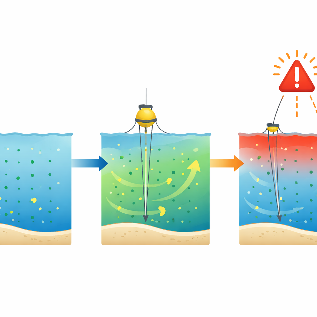
To track the build‑up and behavior of red tides, the team deployed automated buoys equipped with multiple sensors in the nearshore sea area off Haigang District. From late April to the end of October 2024, these instruments measured water temperature, saltiness, cloudiness, acidity, dissolved oxygen, nitrate nutrients, and chlorophyll‑a, a pigment that reflects how much plant‑like plankton is in the water. At the same time, four Earth‑observing satellites collected data on sea color and chlorophyll over a wide area. Using a pattern‑recognition method, the scientists translated the satellite signals into maps of when and where red tides appeared, then checked those maps against occasional field surveys to ensure that the blooms were real.
How often the sea turned red
The monitoring revealed that red tides were not rare events in these coastal waters. Over just seven months, the area experienced 16 separate blooms, lasting a combined 55 days and covering more than ten thousand square kilometers. Individual events usually persisted for one to two days in late spring and early summer, but from August through October they tended to be larger and longer‑lived, sometimes stretching to 11 days. The average area affected by a single red tide was more than 600 square kilometers, and blooms were especially extensive in August. This pattern underscores that late summer and early autumn are the most dangerous seasons for harmful algal outbreaks in the region.
What changed in the water before and during blooms
The buoy records showed that the physical and chemical setting of the sea shifted across the season. Surface waters warmed from about 5 °C in late spring to over 30 °C in mid‑August before cooling again, while salinity was higher in spring and early summer and dropped later, likely as rainfall and river runoff diluted the coastal zone. Chlorophyll‑a levels, a stand‑in for algal biomass, were low from April to July but climbed sharply from August onward, mirroring the more frequent and longer blooms. Nitrate, a key nutrient, stayed modest for much of the period but spiked in late August and again in October. Dissolved oxygen and its day‑to‑day swings, along with water cloudiness and acidity, also varied, giving the researchers a rich set of potential warning indicators to test.
Picking the most reliable warning signs
To turn these measurements into a working alert system, the team treated each environmental factor as a candidate alarm and asked how often it correctly matched days when satellites saw a red tide. They compared the share of true events captured with the share that were missed, a balance between catching as many blooms as possible and avoiding constant false alarms. Extremely high chlorophyll‑a thresholds did signal blooms but occurred so rarely that most red tides slipped past unnoticed. In contrast, certain ranges of nitrate concentration and, especially, the size of daily oxygen swings provided more dependable clues. When nitrate rose to about 0.19 milligrams per liter, the system correctly flagged roughly three out of five bloom days. Even more striking, using the variation in dissolved oxygen rather than its absolute level produced a warning scheme that, at chosen settings, did not miss any of the recorded events.
Why this matters for coasts and communities
For coastal managers, fishermen, and tourism operators, the study’s message is that red tides can be anticipated by watching a few key signals rather than every possible water‑quality change. In the Qinhuangdao nearshore zone, frequent, long‑lasting blooms clustered in late summer and early autumn, and the most practical early warnings came from monitoring how strongly dissolved oxygen fluctuated and when nitrate nutrients crossed a critical range. By deploying multiple buoys in likely bloom areas and combining their readings with satellite views, authorities can gain days of lead time to adjust fishing, shellfish harvesting, or beach activities before a bloom peaks. In simple terms, this work helps turn the sea’s subtle chemical whispers into a clear early warning that the water is about to turn red.
Citation: Yu, L., Yuchen, W., Ning, Z. et al. Research on the early warning indicator system for red tide disasters in the nearshore sea area in Qinhuangdao. Sci Rep 16, 11456 (2026). https://doi.org/10.1038/s41598-026-40344-6
Keywords: red tides, harmful algal blooms, early warning, coastal monitoring, Qinhuangdao