Clear Sky Science · en
Deep learning-enhanced shoreline dynamics and vulnerability assessment in Niger Delta area of Nigeria
Why this coastline matters to everyday life
The Niger Delta in southern Nigeria is home to millions of people, vital oil and gas facilities, rich fisheries, and vast mangrove forests. Yet its shoreline is steadily crumbling away, with villages, farmland, and roads being eaten by the sea. This study asks a practical question with global relevance: can modern satellite images and artificial intelligence help us quickly pinpoint which stretches of coast are most at risk, so that scarce resources for protection and relocation can be used wisely?
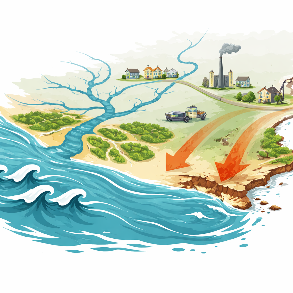
Watching the edge of the land move
The researchers focused on how the Niger Delta coastline has shifted over the past two decades. Instead of sending survey teams into muddy creeks and dangerous surf, they turned to long-running Landsat satellite missions, which have photographed Earth for decades. They examined images from 2002, 2015, and 2023 and used an approach that makes water stand out clearly from land. This allowed them to trace the precise line where ocean and land meet, then track how that line has crept inland or seaward over time.
Teaching computers to see the shore
To handle the huge volume of satellite data, the team used a deep learning tool called CoastSat. This system relies on a type of artificial intelligence originally developed to find structures in medical scans. Here, it was retrained to separate water, breaking waves, sandy beaches, and other surfaces in coastal scenes. By letting the computer perform this fine-grained sorting at the level of individual pixels, the scientists could draw shoreline positions with greater accuracy than older, manual methods and do so consistently for large areas of the delta.
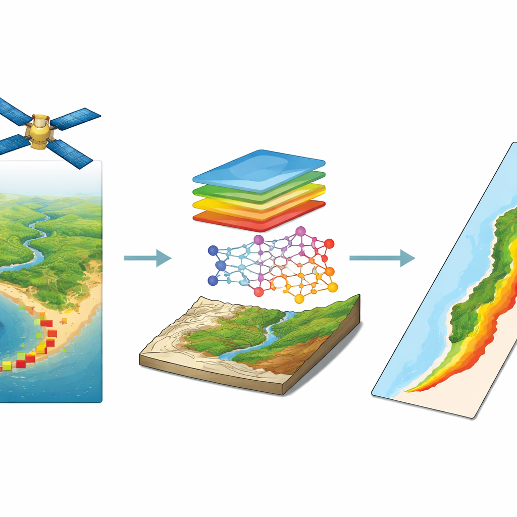
Measuring erosion and grading risk
Once they had the shoreline at three different dates, the team measured how far it had moved at thousands of points along the coast. The results were stark: about three quarters of all measured locations showed erosion, with some spots retreating by more than eight kilometers and losing hundreds of meters of land per year. The worst changes occurred where sandy barrier islands shift, tidal channels wander, and river sediments have been reduced by upstream dams. To turn these patterns into a practical guide for planners, the authors built a Coastal Vulnerability Index that blends elevation, ground steepness, distance from the sea, and tidal conditions into a single number that can be mapped.
What controls danger along the coast
The vulnerability maps reveal a clear geography of risk. Low-lying, steeply sloping strips of land near river mouths and estuaries in states such as Rivers, Akwa Ibom, and southern Delta emerged as hotspots, while higher, more inland zones like parts of Ondo State were less exposed. To test which ingredients in their index mattered most, the researchers used statistical models. They found that the shape of the land surface—how high it is and how quickly it rises—dominates coastal danger in this region, overshadowing even tides. Areas closer to the shore are also more threatened, but the effect of tides, though real, is smaller in comparison.
What this means for people and planning
For non-specialists, the main message is straightforward: in the Niger Delta, the places that sit low and close to the sea are already eroding rapidly and are structurally more at risk than others. By combining smart image analysis, satellite records, and careful statistics, this study produces coastline-wide maps that show where that risk is highest today. These maps can guide where to restore mangroves, strengthen shorelines, restrict new building, or plan relocations. While the method misses some fine details and social factors, it offers a powerful, repeatable way to keep watch on a fragile coast that supports both Nigeria’s economy and the daily lives of its coastal communities.
Citation: Nnam, V.C., Odumosu, J.O., Uche, I. et al. Deep learning-enhanced shoreline dynamics and vulnerability assessment in Niger Delta area of Nigeria. Sci Rep 16, 12595 (2026). https://doi.org/10.1038/s41598-026-39405-7
Keywords: coastal erosion, Niger Delta, shoreline monitoring, vulnerability mapping, satellite remote sensing