Clear Sky Science · en
Enhancing groundwater recharge mapping in arid regions with geospatial multi-criteria analysis in the Eastern desert of Egypt
Why Hidden Water Matters in Desert Lands
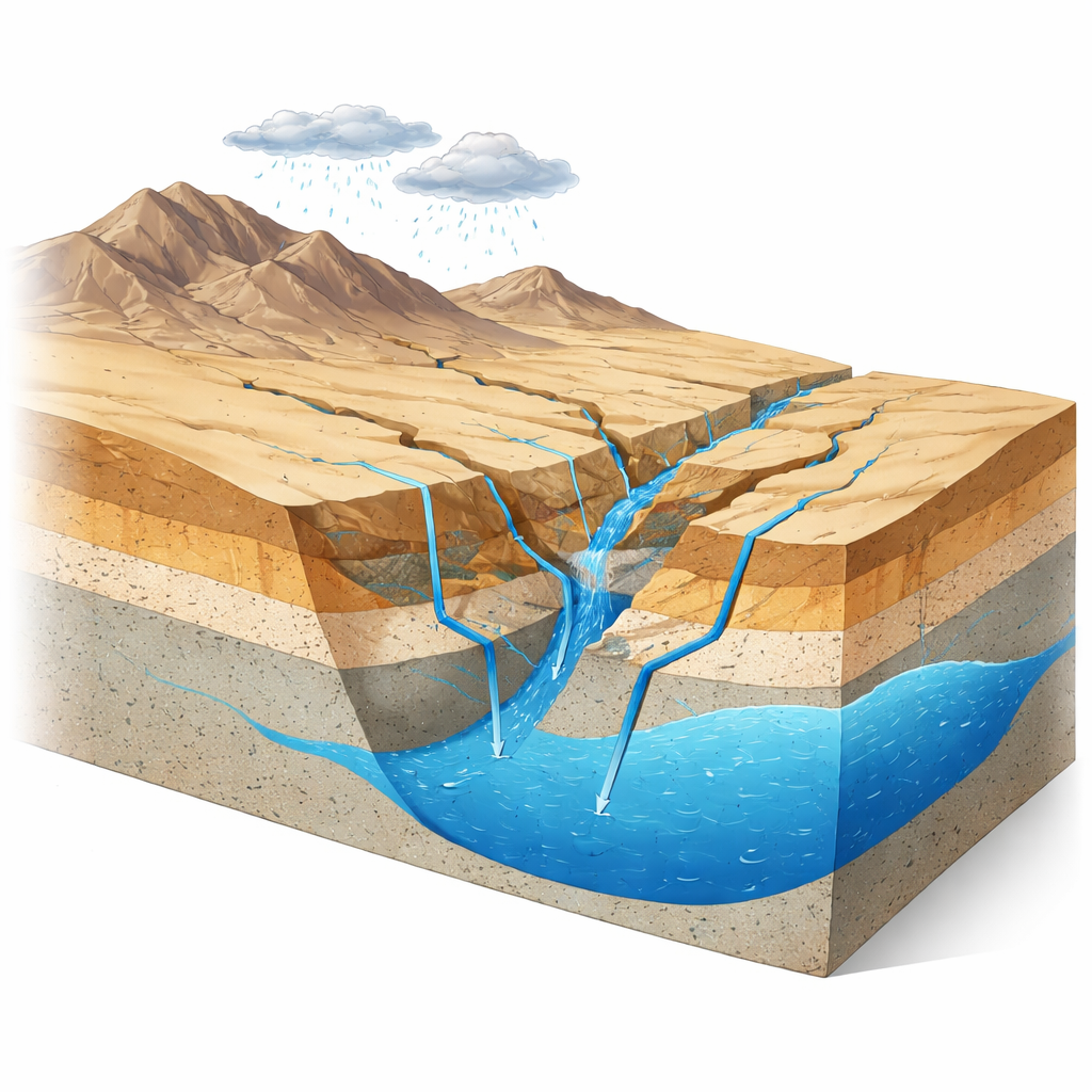
In dry countries like Egypt, most rivers and lakes are scarce or already fully used, yet millions of people, farms, and towns still need reliable water. Much of that water can only come from underground stores called aquifers, which are slowly refilled when rare rains soak into the ground. This study focuses on a remote region between the Nile Valley and the Red Sea and asks a simple but vital question: where, exactly, does precious rainwater manage to seep below the surface and recharge these underground reserves? The answer can guide smarter drilling, farming, and infrastructure so that limited desert water is not wasted.
Finding the Best Places for Water to Sink In
The researchers examined a large desert basin along the Qift–El Quseir road in Egypt’s Eastern Desert. This landscape lies in the ancient Arabian–Nubian Shield, built from hard, fractured rocks overlain in places by younger sands and gravels. The area is extremely dry—typically only a few millimeters of rain fall each year—yet many communities still depend on wells tapping three main aquifers: shallow valley deposits, a deep sandstone formation, and limited water in fractured basement rocks. Because rain is so rare and the rocks are complex, it is not obvious which locations actually allow water to soak in and replenish these aquifers.
Satellites, Maps, and a Structured Scoring System
To tackle this puzzle, the team combined satellite images, digital elevation data, rainfall records, soil and land-cover maps, and existing geological information. They paid special attention to features that control how water moves: the steepness of slopes, the density of river-like channels that carry runoff, the presence of long fractures and faults, and the types of rocks and soils at the surface. Using a decision-making framework known as the Analytic Hierarchy Process, they compared these factors pairwise to decide which were more important for allowing rainwater to sink down. In this desert of hard rocks, the density of fractures and the nature of the rock units emerged as the top controls, with terrain shape and drainage patterns also playing key roles.
Drawing a Map of Recharge Hotspots
Each factor was converted into a map and rated from low to high in terms of its favorability for recharge. These layers were then combined into a single “groundwater recharge potential index,” effectively a score for every point in the basin. The resulting map divides the region into four classes, from moderate-to-low up to excellent potential. About 22 percent of the basin lands in the excellent to very good category, and another 35 percent is rated very good to good. These hotspots are mostly located where broad valley floors cut across permeable sands and gravels or where major fracture zones intersect, especially downstream in Wadi El Mathula near Qift and along key structural corridors linked to regional fault systems.
Checking the Map Against Real Wells
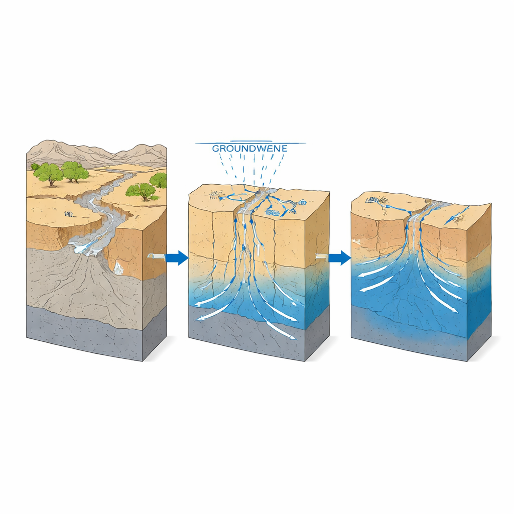
To test whether the mapped hotspots truly mattered underground, the researchers compared them with independent field data. Earlier geophysical surveys had already outlined where sediments are thickest and where fractures are most intense, while chemical measurements from wells revealed where groundwater is fresher or saltier. Low-salt, higher-quality waters and thicker, more transmissive sediments tended to cluster in the areas the new map labeled as high recharge potential. A statistical test known as receiver operating characteristic analysis showed that the map does a reasonably good job of distinguishing productive, recharge-favored zones from poorer ones, even when uncertainties in the expert weightings were explored using thousands of random simulations.
How Much Water the Desert Really Gains
Beyond showing relative suitability, the team also estimated how much rain actually reaches the aquifer each year. Although the basin receives very little rainfall overall, they calculated that roughly 27 percent of that rain ends up as effective recharge—about 9.7 million cubic meters annually. This surprisingly high fraction reflects the way rare storms funnel water into a few favorable corridors, such as wide, gravel-filled valleys and fault-controlled depressions, where it can infiltrate efficiently. The two best recharge classes together cover a bit more than half the area but contribute nearly four-fifths of all recharge, emphasizing that a small share of the landscape does most of the work.
Turning Maps into Smarter Water Decisions
For decision makers, the message is clear: not all desert ground is equal when it comes to refilling aquifers. Certain structurally controlled valleys and sandstone outcrops in the Qift–El Quseir region act as true recharge gateways and deserve priority for protection, careful well placement, and possibly engineered structures such as small recharge dams or infiltration basins. By pinpointing these hotspots, the study offers a practical tool for planning new wells, safeguarding key areas from land degradation, and designing managed recharge projects. More broadly, it shows how combining satellite data, digital mapping, and structured evaluation can help dryland countries stretch their limited rainfall further and build more sustainable groundwater-based water supplies.
Citation: Saber, M., Kantoush, S.A., Sumi, T. et al. Enhancing groundwater recharge mapping in arid regions with geospatial multi-criteria analysis in the Eastern desert of Egypt. Sci Rep 16, 11347 (2026). https://doi.org/10.1038/s41598-026-39134-x
Keywords: groundwater recharge, arid regions, remote sensing GIS, Egypt Eastern Desert, water resource planning