Clear Sky Science · en
Assessment of the spatiotemporal coupling relationship between ecological environment quality and tourist spatial activities in Qianjiangyuan National Park
Why this park study matters to you
National parks promise two things most of us care about: beautiful nature and a chance to escape everyday life. But every extra hiker on a trail or car on a mountain road also adds pressure to the very landscapes we go there to enjoy. This study of Qianjiangyuan National Park in eastern China asks a simple but crucial question: can increasing tourism and a healthy environment grow together, rather than at each other’s expense?
Looking at a park from space and from the ground
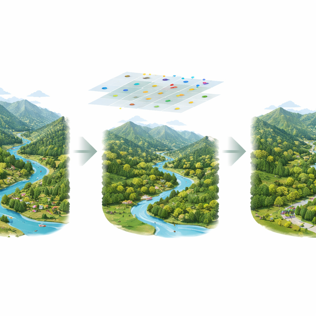
The researchers combined two very different views of the park. From above, they used satellite images from 2017 to 2024 to grade how healthy the land was, based on how green, moist, hot or dry each area appeared. From the ground, they drew on thousands of GPS tracks and geotagged photos that hikers had uploaded to popular Chinese outdoor apps. These digital footprints revealed where people actually go, when they visit, and which spots they stop to photograph. Together, these data sources allowed the team to map both the park’s ecological condition and the intensity of tourist use across space and time.
Where nature thrives and where people gather
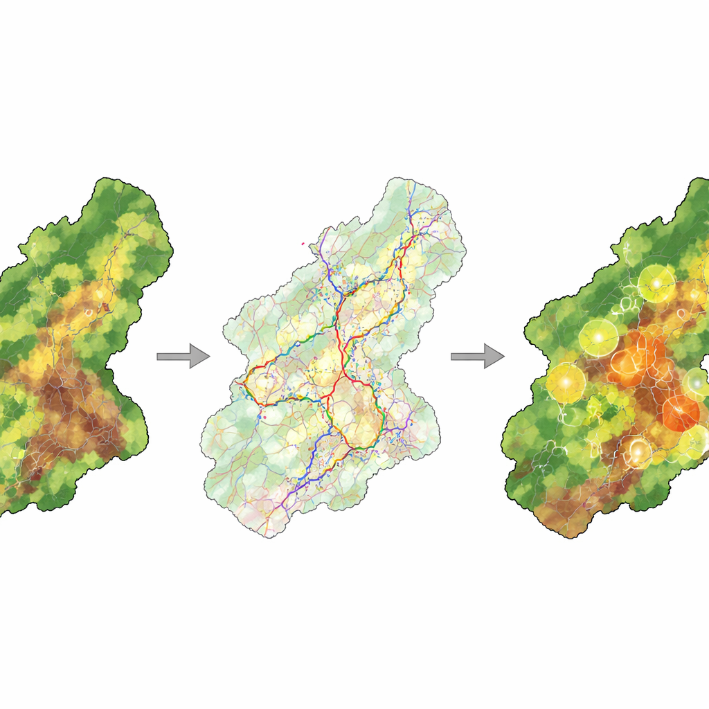
The satellite-based index showed that Qianjiangyuan National Park has generally high environmental quality. In most years, well over three quarters of the area fell into the “good” or “excellent” categories. The healthiest zones were dense mountain forests in the northwest and south of the park, while lower-scoring patches clustered around village edges, roads, and the park’s outer boundary, where human disturbance is strongest. Over the eight-year period the park’s overall ecological score edged upward, helped by stronger protection measures introduced when Qianjiangyuan became one of China’s first national park pilots.
Tourist paths, seasons, and favorite spots
The 12,717 valid GPS routes and thousands of photos painted a detailed picture of visitor behavior. Hikers mainly followed forested ridges and valleys in well-known areas such as Gutianshan, Qianjiangyuan Forest Park, Taihuishan and Gaotiankeng—places rich in scenery, wildlife, and well-developed rural guesthouses. Tourist numbers rose from 2017 to 2019, dropped sharply during the COVID-19 years of 2020–2022, and then rebounded. Within each year, activity peaked in spring and again in October, dipped in winter, and stayed moderate through the hot summer months when many people seek cool mountain air. Using a clustering method, the authors identified 18 “areas of interest” where photo-taking was especially dense, tracing out a pattern of linear trails with tight local clusters around viewpoints, villages, and scenic forest pockets.
How people–nature interactions play out across the park
To move beyond simple overlap maps, the team used a coupling–coordination model. In plain terms, they asked: in each hotspot, how strong is the link between environmental quality and tourist activity, and does that link look healthy or strained? They found that all 18 hotspots still sat in areas with reasonably good ecological conditions. Overall, the relationship between tourism and the environment strengthened from 2017 to 2019, weakened during the pandemic disruption, and then settled into a more stable pattern. Spatially, the northwest and southwest of the park showed both strong interaction and good balance between visitors and nature, while villages and valleys in the northeast, central, and southern sectors showed weaker or less harmonious relationships.
What this means for future park visits
For a non-specialist, the message is reassuring but cautionary. Qianjiangyuan National Park has so far managed to attract more visitors without seriously degrading its forests and wildlife, especially in core forest areas where trails and management are well designed. Yet several villages and edge zones show signs that tourism pressure may be outpacing the land’s ability to recover. The study demonstrates that by pairing satellite monitoring with crowdsourced GPS tracks and photos, park managers can pinpoint where nature and recreation are thriving together and where conflicts are emerging—knowledge that can guide trail planning, visitor limits, and restoration work so that future visitors can enjoy the same wild beauty.
Citation: Chen, X., Wu, C. Assessment of the spatiotemporal coupling relationship between ecological environment quality and tourist spatial activities in Qianjiangyuan National Park. Sci Rep 16, 10152 (2026). https://doi.org/10.1038/s41598-026-38914-9
Keywords: national parks, ecotourism, remote sensing, visitor behavior, environmental monitoring