Clear Sky Science · en
Interpretable machine learning for shoreline forecasting
Why Predicting the Edge of the Sea Matters
Coastlines may look timeless, but the line where land meets ocean is constantly on the move. As sea levels rise, storms intensify, and river flows change with human activity and climate, communities living near beaches and deltas need to know how their shores will shift over the coming decades. This study introduces a new way to predict shoreline changes that not only makes accurate forecasts, but also explains, in plain mathematical form, why a given stretch of coast is eroding or growing.
From Black Boxes to Clear Equations
Many recent advances in science have come from powerful machine-learning systems that can make strikingly accurate predictions. Yet these models often act like black boxes: they provide answers without showing the reasoning. In fields like coastal science, where decisions about infrastructure, housing, and disaster planning rest on understanding physical processes, that opacity is a problem. The authors turn instead to a form of machine learning called symbolic regression, which searches for simple equations that best link inputs and outputs in data. Rather than training a giant opaque network, they evolve compact formulas whose structure scientists can read, critique, and relate to established coastal physics.
Teaching Machines to Write Coastal Formulas
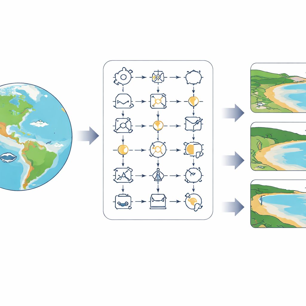
The team focuses on monthly shoreline changes over 25 years at thousands of sites worldwide, using satellite records of how beaches shift through seasons and climate cycles. They combine these observations with three key environmental drivers: the power of incoming waves, regional sea level, and freshwater flowing from rivers into the sea. Using a graph-based evolutionary algorithm, they start with a population of random mathematical models and iteratively “breed” better ones. At each step, models are mutated, tested against the data using a skill score that rewards both accuracy and reasonable errors, and the best performers are kept. Over time, this process produces a rich family of equations that capture how each stretch of coast responds to waves, water level, and river input.
Many Coasts, Many Best Answers
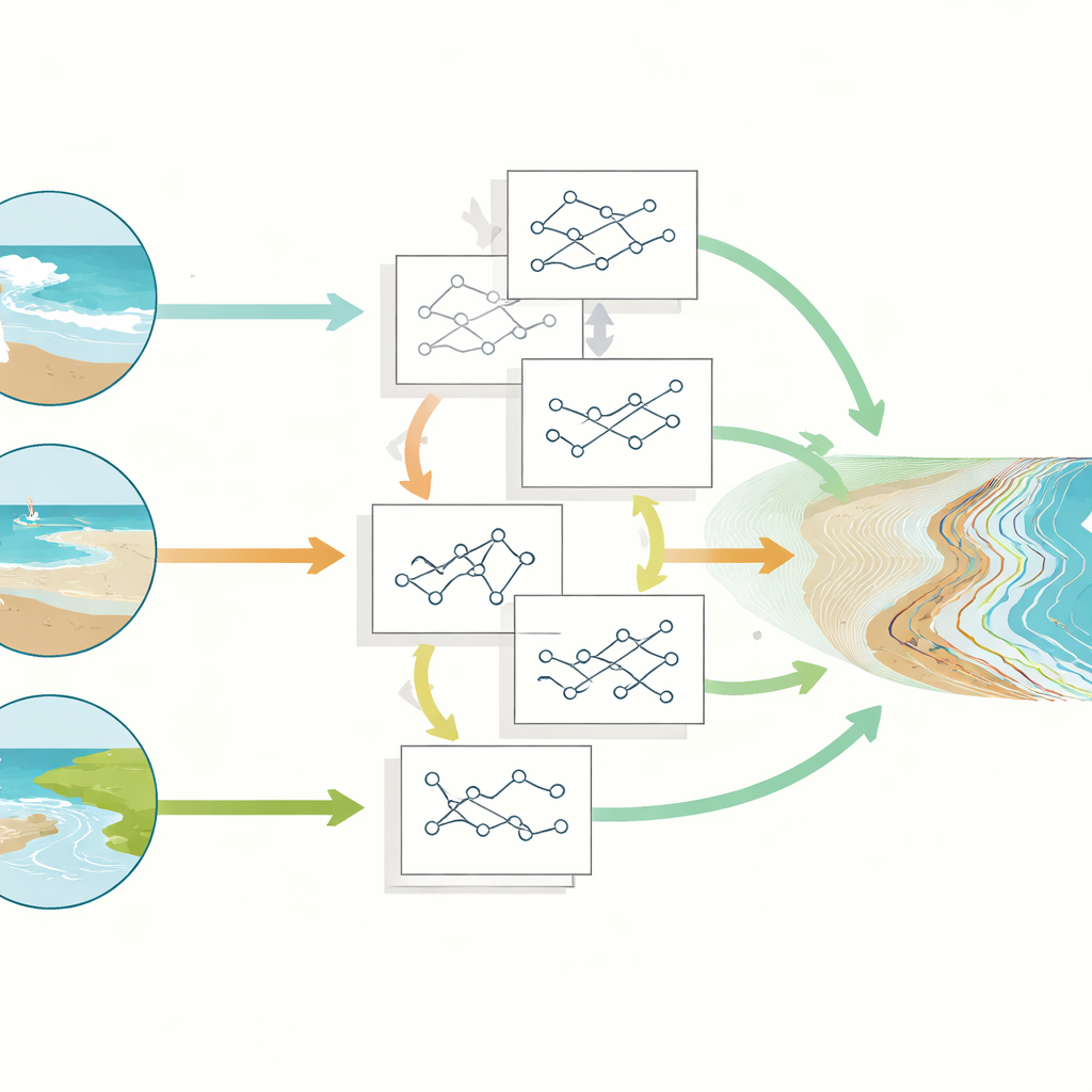
A single global equation cannot describe all the world’s shorelines equally well. The authors show that while their best global model performs about as well as a widely used physics-based shoreline model, a different strategy works far better: allowing different coasts to use different equations. They build an “ensemble” of 46 interpretable models and, for each coastal point, select the one equation that performs best there. The result is a map in which every location is governed by one clear formula, not an average over many black-box predictions. This ensemble more than doubles the overall skill compared with using one global model everywhere, revealing how local coastal behavior is better explained by locally tuned physics.
What Drives Each Shoreline
Because the models are written explicitly in terms of waves, sea level, and freshwater flow, the researchers can ask which driver matters most where. By applying sensitivity analysis to the equations, they identify the main factor controlling shoreline movement along each coast. Waves emerge as the dominant influence for most sandy, open-ocean beaches, in line with traditional coastal theory. In contrast, sea level variations gain importance in estuaries and sheltered bays, where even modest changes in water level can reshape low-lying shores. Freshwater discharge and its associated sediment supply prove crucial near large river mouths and in regions with intense seasonal rainfall, where river plumes and floods can dramatically redistribute sand. This diversity of mechanisms, distilled into simple formulas, paints a nuanced global picture of how and why coasts evolve.
A Clearer Path to Coastal Decisions
The study demonstrates that it is possible to gain the predictive power of machine learning without giving up understanding. By evolving concise, human-readable equations tailored to different regions, the approach offers both better forecasts and clearer stories about what controls local shorelines. For planners and scientists, this means they can trace a prediction back to its underlying physical ingredients, test it against theory, and adapt it as new data arrive. In a century when the shape of the world’s coasts will matter more than ever, interpretable models like these provide a transparent bridge between global satellite data, coastal physics, and the practical decisions communities must make at the water’s edge.
Citation: Al Najar, M., Wilson, D.G. & Almar, R. Interpretable machine learning for shoreline forecasting. Sci Rep 16, 11457 (2026). https://doi.org/10.1038/s41598-026-37403-3
Keywords: shoreline change, coastal erosion, symbolic regression, climate impacts, interpretable machine learning