Clear Sky Science · en
Unsupervised mapping of urban tree diversity using spatially-aware visual clustering
Why city trees and smart maps matter
Cities depend on trees to stay livable. Street trees cool hot neighborhoods, clean the air, and give residents daily contact with nature. Yet most city governments have only rough guesses about how many kinds of trees they have, or where those trees are clustered. Traditional tree surveys require experts to visit each block, which is costly and slow. This study introduces a way to measure the variety of urban trees by using ordinary street-level photos and artificial intelligence, without needing any tree labels in advance.
Seeing the city through everyday images
The researchers build on a simple idea: if we can spot trees in pictures from services like Google Street View, we can start to understand the urban forest citywide. They use an existing dataset in which trees in eight North American cities have been automatically detected and linked to their locations. Instead of asking an algorithm to name each tree species, the new method looks for patterns in how trees look and where they are planted. It turns these patterns into numerical "fingerprints" for each tree, capturing both its visual appearance and its position along streets and in neighborhoods. 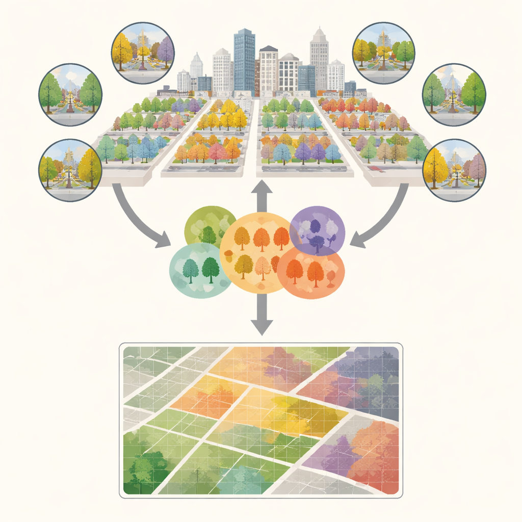
Grouping similar trees without knowing their names
With those fingerprints in hand, the system groups trees into clusters that behave like stand-ins for real biological groups. Trees in the same cluster look similar in images and tend to share similar planting contexts. The process unfolds in several stages. First, a spatial model organizes trees that are planted in recognizable patterns, such as rows along a boulevard. Then the method trims away visual outliers inside each group, keeping only trees that strongly resemble their neighbors. Discarded trees are revisited and, when they resemble one another, are formed into new groups or reassigned to better-fitting ones. Finally, clusters that end up looking almost identical are merged so the system is not fooled by small, meaningless differences.
Turning clusters into diversity maps
Once all trees are assigned to these pseudo-groups, the city is carved into a grid of local areas, each 500 meters across, representing a neighborhood-scale tree community. In each grid cell, the researchers count how many clusters appear and how evenly trees are spread among them. From these counts they compute standard diversity scores that ecologists use to describe both richness (how many kinds of trees) and balance (whether one kind dominates). They then compare these scores with those derived from detailed ground surveys that record the actual tree genera. Across cities, the unsupervised system closely reproduces the real-world diversity patterns, especially for measures that emphasize common tree types rather than rare ones. It also preserves how diversity is arranged in space, capturing patches of uniform plantings as well as more mixed blocks.
Strengths, limits, and what comes next
The approach performs best in cities where tree communities are not dominated by just a few kinds of trees and where image quality is high. It struggles more with rare genera, heavy privacy blurring, and places where street photos are sparse or outdated. Because the method focuses on what can be seen from the street, trees hidden in backyards or interior parks are undercounted. The authors suggest future improvements such as combining these street views with satellite and laser-based imagery, or using language–vision models that can better pick out subtle differences between similar-looking trees. 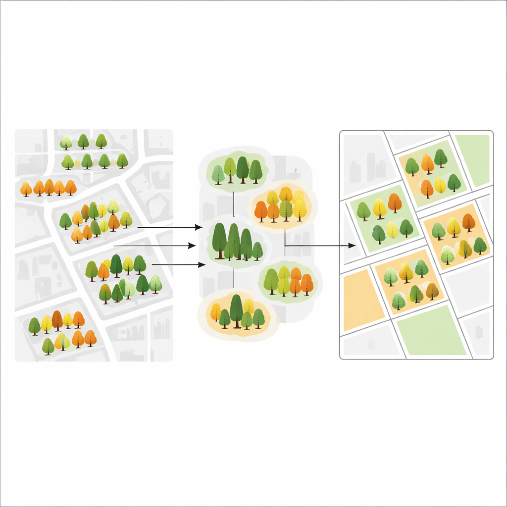
What this means for greener, fairer cities
For non-specialists, the key message is that cities no longer need to rely solely on slow, expensive field surveys to understand their tree life. By mining the flood of existing street-level images, this method can produce detailed, neighborhood-scale maps of tree diversity at low cost and repeat them as new imagery appears. City planners could use these maps to spot areas that are dominated by a single vulnerable tree type, identify neighborhoods lacking variety in greenery, and design planting programs that boost resilience to pests, disease, and climate stress. In short, the study shows how combining everyday photography with clever clustering can turn the city itself into a living, regularly updated map of urban nature.
Citation: Abuhani, D.A., Seccaroni, M., Mazzarello, M. et al. Unsupervised mapping of urban tree diversity using spatially-aware visual clustering. Sci Rep 16, 10440 (2026). https://doi.org/10.1038/s41598-026-37043-7
Keywords: urban tree diversity, street view imagery, unsupervised clustering, biodiversity mapping, urban resilience