Clear Sky Science · en
A long-term ecosystem monitoring dataset from the ICP Integrated Monitoring network: biogeochemical data from 1977–2020 across 14 European countries
Watching Forests Heal from the Sky Down
For decades, Europe’s forests have quietly recorded the story of air pollution—how it falls from the sky, seeps into soil and water, and alters plants and wildlife. This paper unveils a vast open dataset that turns those quiet signals into a public resource. By tracking how forests respond to cleaner air and a changing climate, the data help answer questions that matter to everyone: Are ecosystems recovering from the era of acid rain? How is ongoing pollution reshaping life in our woodlands and waters? And what evidence do policymakers have when they decide how much pollution is still “too much”?
A Continent-Wide Health Check for Forests
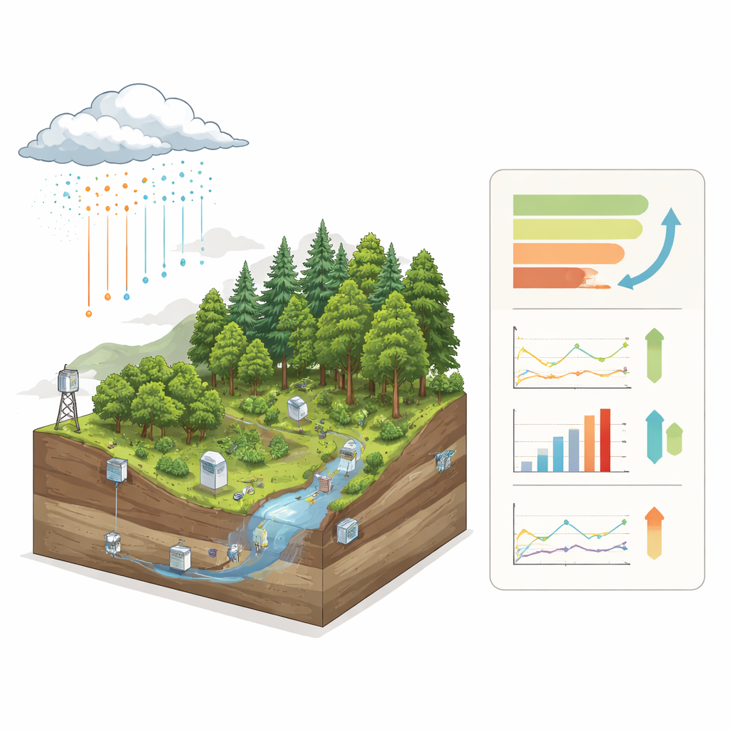
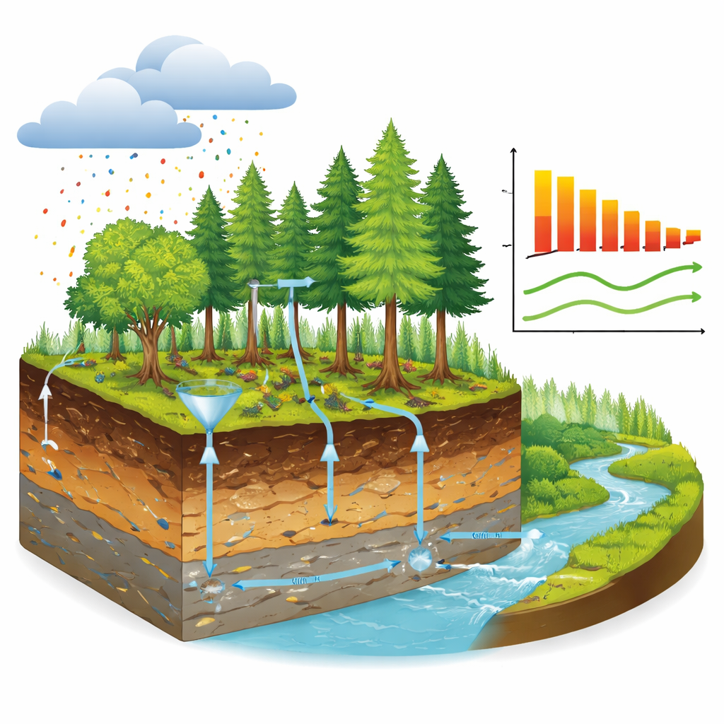
The dataset comes from the International Cooperative Programme on Integrated Monitoring of Air Pollution Effects on Ecosystems (ICP IM), a network of small forested catchments scattered across 14 European countries. These sites, often in nature reserves and away from major pollution sources, are just large enough to include all the key parts of an ecosystem: trees and undergrowth, soil layers, groundwater, and the streams or lakes that carry water away. Many have been monitored continuously for more than 30 years, with some chemical records stretching back to 1977. Together, the 46 open-data sites capture Europe’s major forest types—from cold boreal forests in the north to sun-baked Mediterranean woodlands in the south—along with the continent’s wide range of climates, bedrock types, and pollution levels.
Measuring Everything That Moves and Grows
What sets this network apart is its “integrated” approach. Instead of looking at just air, water, or plants in isolation, ICP IM measures physical, chemical, and biological properties side by side across many compartments of the ecosystem. Dedicated subprogrammes track air pollutants, rainfall chemistry, water flowing through the soil and out of the catchment, soil composition, foliage and litter nutrients, and the “throughfall” that drips from tree canopies. Others follow living communities—understory plants, tree health, lichens clinging to trunks, mosses, algae, insects in streams, and breeding birds. By applying common methods laid out in a shared manual, scientists ensure that data from Norway can be meaningfully compared with data from Spain or Poland, and that subtle long-term trends are not masked by changes in technique.
From Acid Rain to Nitrogen and Heavy Metals
The network was born in the early 1990s when “acid rain” from sulphur-rich emissions was killing forests and turning lakes acidic. As international agreements drove sulphur pollution down, the scientific questions evolved. The same infrastructure is now used to study how forests respond to a lingering excess of nitrogen, which can act as a fertilizer at first but eventually pushes ecosystems into a state of “too much of a good thing,” changing which species can survive. Long-term records from ICP IM sites have been crucial in documenting how water chemistry has improved as sulphur and heavy metal emissions have dropped, how nitrogen continues to accumulate or leak from catchments, and how plants, lichens, and other organisms react to shifting pollution and climate. The data also feed computer models that explore future scenarios under different emission and climate policies.
Turning Raw Measurements into Reliable Evidence
Behind the scenes, a carefully coordinated system keeps the data trustworthy. Sampling follows strict, shared procedures; materials must be chemically inert; field operators are trained and sites are regularly inspected. Laboratories are encouraged to work under formal accreditation systems and to prove their accuracy through control samples and inter-laboratory comparison tests. Before numbers enter the central database, they are checked for completeness, internal consistency, and statistical outliers. Standardized data formats allow each subprogramme—whether it measures chemistry or living organisms—to report in a predictable way, with built-in flags marking values below detection limits or numbers that represent averages rather than raw observations.
Open Data for a Changing Planet
One of the most important developments described in the paper is the shift from a “by request” model to fully open publication of the database under a Creative Commons attribution licence. Researchers, agencies, and interested citizens can now download comma-separated files for each monitoring subprogramme, along with documentation, site locations, and the full monitoring manual. While some historical data remain available only on request because consent for open release could not be obtained, the vast majority of measurements from active sites are included. In simple terms, this means that anyone can trace how air pollution and climate have shaped European forest ecosystems over nearly half a century—and use that evidence to test new ideas, improve models, or design better environmental policies. The dataset is not just a snapshot; it is a living record that will continue to grow, offering a rare long-term window into how forests and freshwaters respond as societies clean up the air above them.
Citation: Weldon, J., Aas, W., Albiniak, B. et al. A long-term ecosystem monitoring dataset from the ICP Integrated Monitoring network: biogeochemical data from 1977–2020 across 14 European countries. Sci Data 13, 589 (2026). https://doi.org/10.1038/s41597-026-07181-8
Keywords: forest monitoring, air pollution, acid rain recovery, nitrogen deposition, long-term ecosystem data