Clear Sky Science · en
A High-Resolution Forest Soil Organic Carbon Dataset for China Derived from an Enhanced Quantile Regression Forest Model
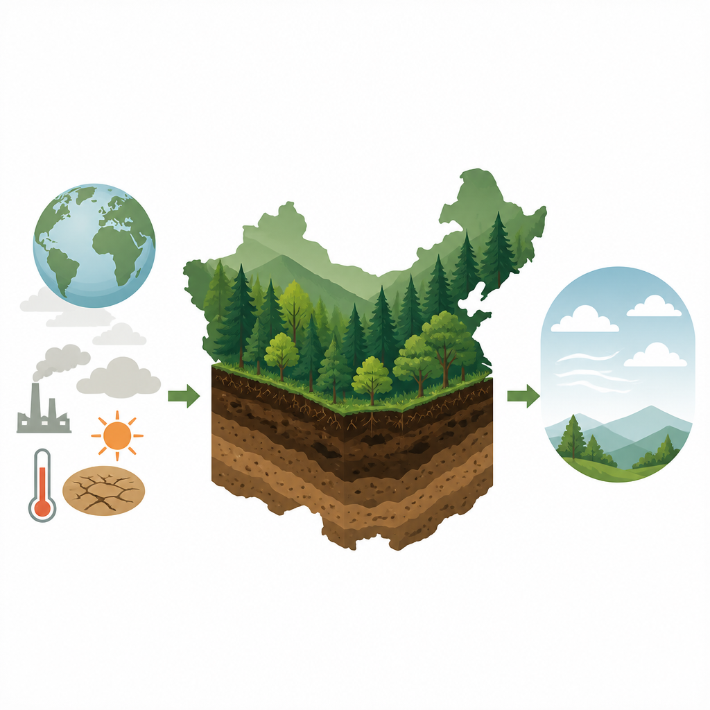
Why forest soil matters for our future
When we think about forests and climate, we often picture trunks and leaves soaking up carbon from the air. Much less visible, but even more important, is the carbon locked away in forest soils. This hidden store helps keep extra carbon dioxide out of the atmosphere, supports rich ecosystems, and underpins efforts to slow climate change. The study described here builds the most detailed picture so far of how much organic carbon is held in China’s forest soils and where it is found, offering a new tool for climate policy and land management.
Taking a closer look beneath the trees
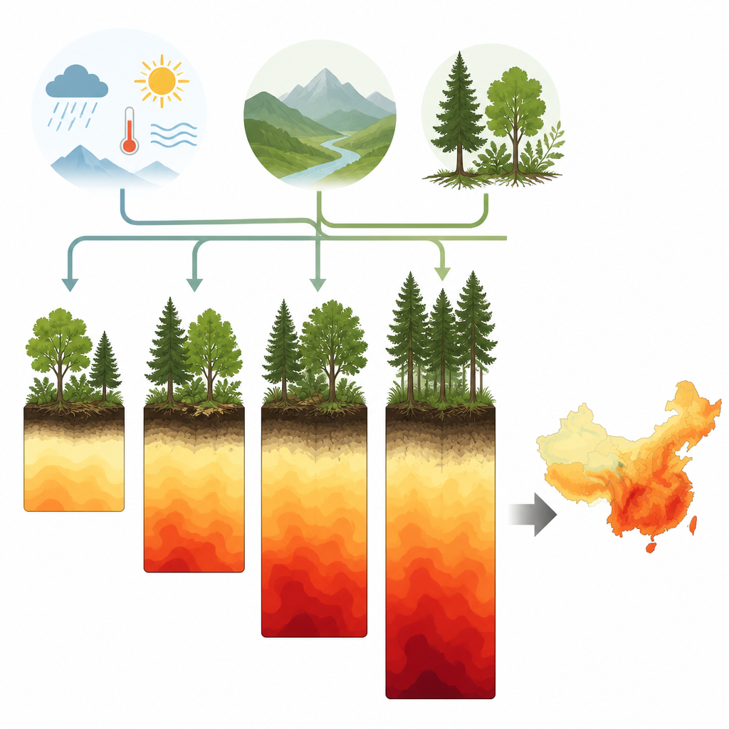
China is one of the world’s largest forest nations, spanning tropical rainforests, temperate woodlands, and cold high mountain forests. These varied landscapes hold very different amounts of soil carbon, and past maps have either been too coarse, focused on croplands, or lacked clear estimates of uncertainty. To close this gap, the authors assembled a large national database of forest soil measurements. They combined records from earlier surveys with a new forest soil survey in 2023, ending up with 18,193 samples from 8,709 locations. At each site, soils were sampled down to one meter and grouped into four depth bands, so that changes with depth could be tracked.
Turning scattered samples into a continuous map
Collecting soil from every patch of forest in China would be impossible, so the team turned to a branch of data science to fill the gaps. They gathered 41 pieces of environmental information for each location, including climate, terrain, underlying rock, vegetation, and existing soil properties. Using these inputs, they trained a machine learning model that can learn complex patterns between environment and soil carbon, then use those patterns to estimate carbon levels in places that were not sampled. Before training, they carefully cleaned the data, standardized soil depths, removed clear measurement errors, and transformed skewed values to make the patterns easier for the model to detect.
Smart modeling with built in uncertainty
Rather than a single best guess model, the researchers used a method that produces full ranges of likely values at every forest location. They first screened the 41 environmental factors to keep only the most informative ones for each depth, cutting the list by about two thirds while retaining key drivers such as elevation, moisture, and vegetation cover. They then applied a quantile regression forest model, which builds many decision trees and looks at the full spread of their predictions. This allowed the team to compute not only the most likely soil carbon value at each 90 meter grid cell across China, but also upper and lower bounds that should contain the true value nine times out of ten.
What the new maps reveal about China’s forests
The resulting dataset shows a clear pattern: forest soil organic carbon is highest near the surface and declines with depth, as expected. Across the country, richer soil carbon levels cluster in the cool, moist forests of the northeast and in the high, rugged southwest, where dense vegetation and lower temperatures slow decomposition. Central and some eastern regions show lower values, reflecting warmer, drier conditions and different forest types. When compared with several existing global and national soil products, the new maps show broadly similar large scale patterns, but offer a sharper and more forest focused view by relying only on forest samples and a finer 90 meter grid. The team also mapped where their estimates are most and least certain, with larger uncertainties in remote, mountainous and harsh northern areas where fewer samples exist.
How these maps can guide climate and land choices
To a non specialist, the key message is simple: this work provides a detailed, nationwide picture of how much organic carbon lies hidden in China’s forest soils, how it changes with depth, and how confident we can be in each estimate. Policymakers and scientists can now use these high resolution maps as a baseline for checking forest carbon sinks, planning restoration, and testing how future climate or management changes might alter soil carbon. While the maps show carbon concentration rather than total stock, and some remote regions remain less certain, they mark a major step toward treating the “underground forest” as carefully as the trees we see above ground.
Citation: Chen, J., Ou, Y., Fan, Z. et al. A High-Resolution Forest Soil Organic Carbon Dataset for China Derived from an Enhanced Quantile Regression Forest Model. Sci Data 13, 768 (2026). https://doi.org/10.1038/s41597-026-07133-2
Keywords: forest soil carbon, digital soil mapping, China forests, carbon sink, climate change