Clear Sky Science · en
Occurrence and environmental data for aquatic plants of Minnesota from 1999–2018
Why lake plants matter to people and nature
Across Minnesota, underwater meadows of plants quietly shape how lakes look, feel, and function. These plants provide habitat for fish and wildlife, help keep water clear, and signal when a lake is healthy or stressed. Yet until recently, most information about them was scattered in filing cabinets and hard drives owned by many different agencies and consultants. This paper describes the first unified, statewide collection of detailed records on where and how aquatic plants grow in Minnesota lakes, along with key environmental information that affects them.
Bringing scattered lake surveys into one place
Over the past two decades, lake managers and researchers have used a common field method, called point-intercept surveys, to map underwater plant life. In these surveys, boats visit hundreds of predetermined spots on a lake, drag a metal rake along the bottom, and record which plants are caught. The authors of this paper gathered such surveys from 18 organizations across Minnesota, covering 3,194 surveys on 1,520 lakes and ponds from 1999–2018. They then merged everything into a single, cleaned dataset that records plant presence, depth, and in many cases how abundant each species is at each sampling point. 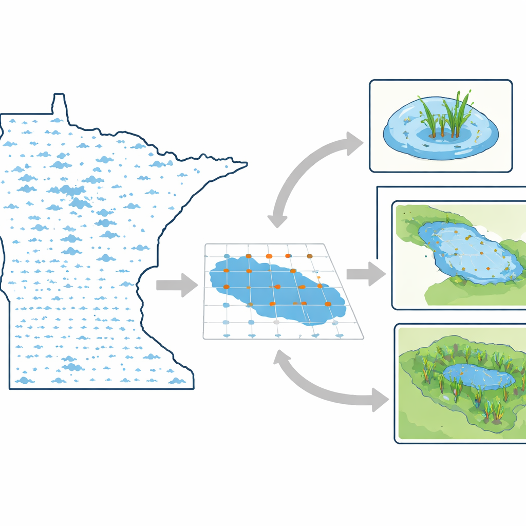
Turning raw field notes into usable lake information
Simply stacking files together is not enough to make them scientifically useful. The team standardized species names, converted surveyor codes and common names to accepted scientific identities, and checked for spelling and naming inconsistencies. They focused on surveys that used the same basic approach—points laid out in advance and sampled with a dragged rake—to make sure results can be compared fairly across lakes and years. For surveys that used different scoring scales for plant abundance, they translated all of them into a shared three-step scale, from low to high coverage on the rake. Zeros were used consistently to mark when a species was truly absent at a point, rather than just not mentioned.
Adding depth, clarity, and location to each record
Because underwater plants respond strongly to light and depth, the authors enriched the dataset with physical and environmental context. They kept only records where water depth was measured, checking and converting mixed units by comparing survey depths with known lake depths. They then linked each lake to water clarity readings, based on Secchi disk measurements collected independently. By pairing plant depth with water clarity, they estimated how much light reaches the lake bottom where plants grow. The team also attached geographic coordinates, connecting each survey to a specific lake and to the larger watershed it belongs to. These links allow researchers to study patterns from single sampling points up through entire lake basins and major drainage areas. 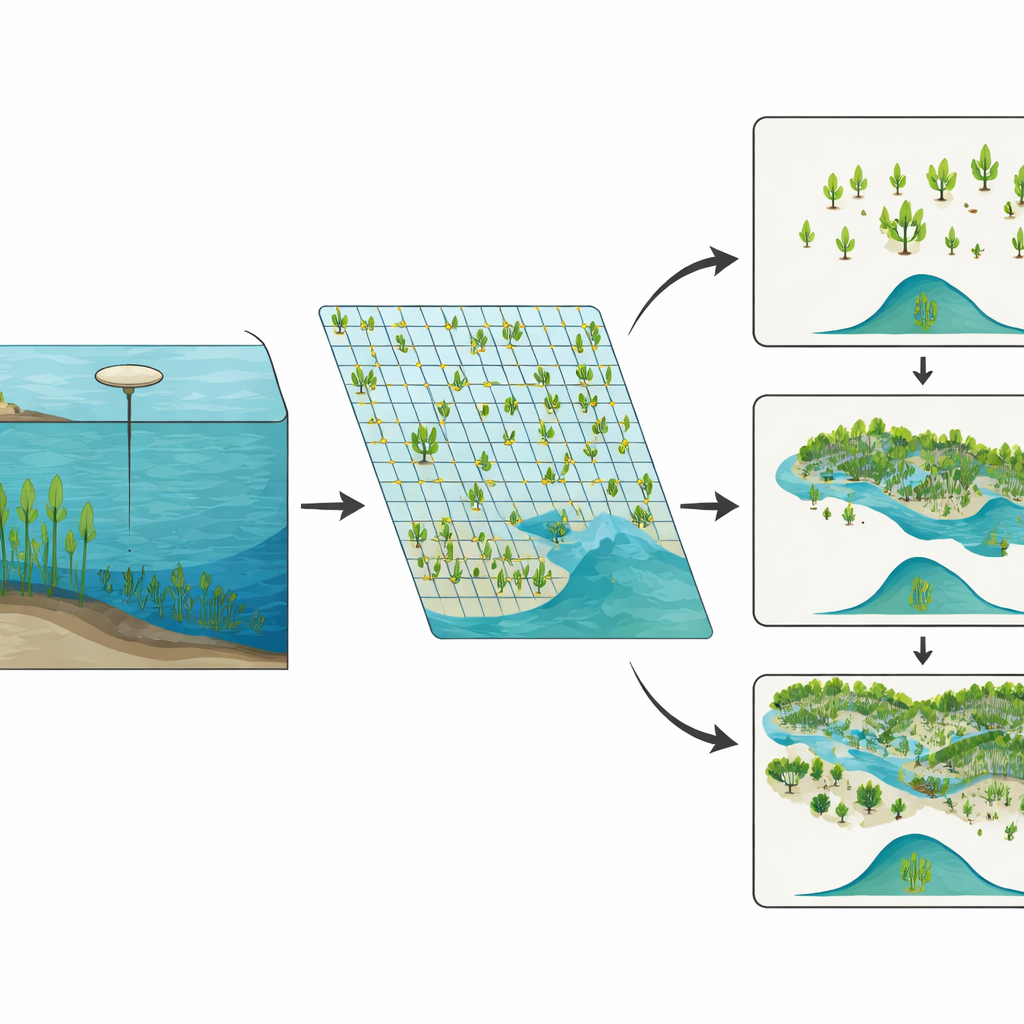
From single points to big-picture patterns
Using the combined data, the authors generated summary measures at multiple scales. For each survey and watershed, they calculated how many types of plants were found, how evenly they shared space, and how diverse communities were overall. They used a diversity measure that behaves well across different spatial scales, making it easier to compare a single cove with an entire region. The dataset distinguishes between native and non-native plants, while keeping the exact identities of protected species hidden to comply with conservation rules. All of the processed tables, plus the computer code used to build them and create summary statistics, are freely available through the University of Minnesota’s data repository, so others can reuse and extend this work.
How this resource can guide future lake care
For non-specialists, the message is straightforward: this paper delivers a powerful new map of underwater plant life across thousands of Minnesota lakes, built from nearly two decades of careful fieldwork. By bundling plant records, water depth, water clarity, and locations into one open dataset, the authors make it much easier to track how lake ecosystems are changing, to compare managed and unmanaged lakes, and to understand how invasive species and water quality problems spread. In practical terms, this shared resource can help communities and managers make better decisions about protecting clear water, restoring habitats, and controlling problem plants—grounding those choices in evidence collected consistently across space and time.
Citation: Verhoeven, M.R., Bartodziej, W.L., Berg, M.S. et al. Occurrence and environmental data for aquatic plants of Minnesota from 1999–2018. Sci Data 13, 650 (2026). https://doi.org/10.1038/s41597-026-07027-3
Keywords: aquatic plants, Minnesota lakes, lake ecology, biodiversity data, freshwater monitoring