Clear Sky Science · en
Global dataset of pesticide pollution and environmental quality standards for risk assessment (2010–2020)
Why this matters to everyday life
Pesticides help secure our food supply, but tiny leftovers of these chemicals do not stay on farm fields. They drift into the air we breathe, the water we drink, and the soil around our homes. Until now, information on where these residues show up, and how they compare with government safety limits, has been scattered and hard to compare. This study pulls those pieces together into a single global picture, offering new tools to understand where pesticide pollution may pose the greatest threat to people and nature.
Bringing scattered information under one roof
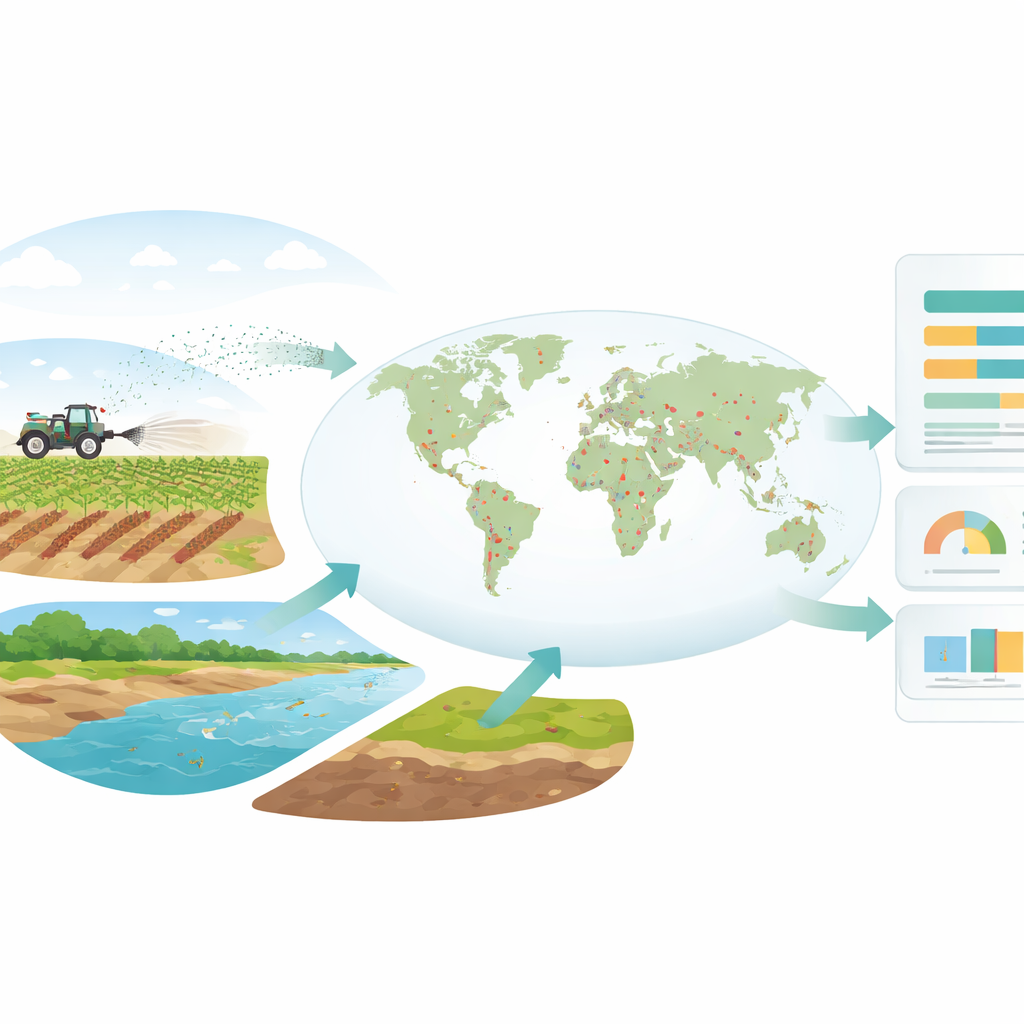
The authors assembled a worldwide dataset of pesticide residues reported between 2010 and 2020 in three major parts of the environment: air, water, and residential soil. They drew on nearly 700 scientific papers and multiple official monitoring programs, plus over 20,000 regulatory standards set by 81 agencies around the world. For water, the data span rivers and lakes, groundwater, and seawater; for soil, the focus is on places where people live rather than farm fields, because residents can be exposed day in and day out. By combining these sources, the team created the most comprehensive open resource so far on how often and where pesticides are found beyond the farm.
Turning many studies into one clear map
To make the information comparable, the researchers first filtered out anything that did not meet strict criteria. Only measured, not modeled, concentrations were kept, and only for the decade from 2010 to 2020. Each chemical was checked against specialist databases to confirm that it was truly a pesticide, and entries with impossible values or duplicate records were removed. The remaining measurements were then converted into common units for each medium, such as micrograms per liter for water, and matched to a unique chemical identifier so users can easily trace each substance. Where exact map coordinates were missing, the team estimated locations from maps or place names using online mapping tools, allowing the creation of global coverage maps.
What the global picture reveals
The final product covers about 1.66 million measurements from 92 countries, along with standards for many pesticides in air, water, and soil. The maps show that most monitoring sites cluster in Europe, China, and the United States, reflecting where long-term monitoring networks and published studies are most common. In contrast, many regions in Africa, South America, and parts of Asia remain sparsely monitored, making it harder to judge local risks. Across all media, hundreds of pesticides are routinely detected, but only a fraction have established environmental quality standards. Those standards often focus on older, long-lasting compounds, leaving many newer or widely used chemicals without clear safety thresholds.
How this resource can be used
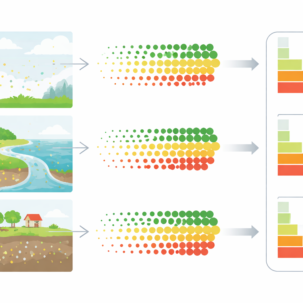
This unified dataset is designed as a backbone for many types of environmental and health studies. It can feed into computer models that simulate how pesticides move between air, water, and soil, improving estimates of human and ecosystem exposure. Because the data also include national standard values, researchers and regulators can compare how strict or lenient different countries are for the same pesticide and medium. The geographic detail makes it possible to identify potential pollution “hotspots” that might deserve closer monitoring or stronger controls. The authors also highlight that their compilation can be combined with other information, such as pesticide use maps, to explore how application rates relate to contamination levels.
Limits, gaps, and next steps
The authors note several caveats. The dataset relies mainly on English-language publications, which may overlook important monitoring work reported in other languages. Monitoring itself is uneven, with some countries maintaining dense networks and others barely sampled, so data-scarce regions must be interpreted cautiously. Time coverage is another issue: the dataset stops at 2020, while some major new surveys, such as a large European soil study, are only now becoming available. Future updates will aim to integrate these newer sources and broaden language coverage, making the global picture more representative.
What it means for health and the environment
For non-specialists, the key message is that pesticide pollution is widespread, but information about it has been fragmented and incomplete. By gathering millions of measurements and thousands of safety limits into a single, open resource, this work offers a clearer view of where pesticides are found in the environment and how they stack up against protective standards. That clarity can help scientists, regulators, and communities better judge which chemicals and regions deserve urgent attention, ultimately guiding smarter policies to protect both ecosystems and public health.
Citation: Huang, Y., Li, Z. Global dataset of pesticide pollution and environmental quality standards for risk assessment (2010–2020). Sci Data 13, 571 (2026). https://doi.org/10.1038/s41597-026-06987-w
Keywords: pesticide pollution, environmental monitoring, water and soil quality, public health risk, global datasets